黑河生态水文遥感试验:大野口流域0.5米WorldView-2DOM数据(2012年5月)
收藏国家青藏高原科学数据中心2021-04-19 更新2024-03-06 收录
下载链接:
https://data.tpdc.ac.cn/zh-hans/data/cdac6954-107b-47ed-b06d-4d3f72e1a281
下载链接
链接失效反馈官方服务:
资源简介:
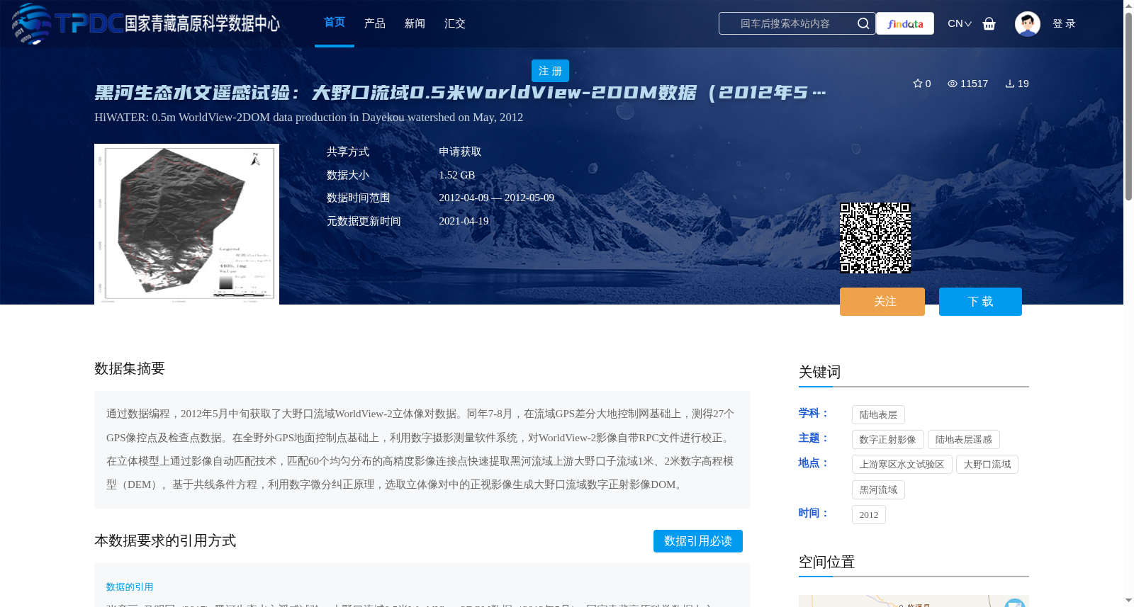
通过数据编程,2012年5月中旬获取了大野口流域WorldView-2立体像对数据。同年7-8月,在流域GPS差分大地控制网基础上,测得27个GPS像控点及检查点数据。在全野外GPS地面控制点基础上,利用数字摄影测量软件系统,对WorldView-2影像自带RPC文件进行校正。在立体模型上通过影像自动匹配技术,匹配60个均匀分布的高精度影像连接点快速提取黑河流域上游大野口子流域1米、2米数字高程模型(DEM)。基于共线条件方程,利用数字微分纠正原理,选取立体像对中的正视影像生成大野口流域数字正射影像DOM。
Using data programming, WorldView-2 stereo pair imagery data of the Dayekou Basin was acquired in mid-May 2012. In July and August of the same year, 27 GPS ground control points and check points were surveyed based on the basin's differential GPS geodetic control network. With the full-field GPS ground control points as the foundation, the Rational Polynomial Coefficient (RPC) file bundled with the WorldView-2 imagery was corrected using a digital photogrammetry software system. By matching 60 evenly distributed high-precision image tie points via automatic image matching technology on the stereo model, 1-meter and 2-meter resolution Digital Elevation Models (DEMs) for the Dayekou Basin, located in the upper reaches of the Heihe River Basin, were rapidly extracted. Based on the collinearity condition equations and the principle of digital differential rectification, the nadir imagery selected from the stereo pair was used to generate the Digital Orthophoto Map (DOM) of the Dayekou Basin.
提供机构:
张彦丽,马明国
创建时间:
2017-06-23
搜集汇总
数据集介绍
背景与挑战
背景概述
该数据集是黑河生态水文遥感试验(HiWATER)的一部分,提供了2012年5月大野口流域0.5米高分辨率的WorldView-2数字正射影像(DOM),数据大小为1.52 GB。数据集基于立体像对和GPS控制点,通过数字摄影测量技术生成,适用于陆地表层遥感研究,覆盖黑河流域上游寒区水文试验区。
以上内容由遇见数据集搜集并总结生成


