长时间序列青藏高原重点生态工程布局图集
收藏资源简介:
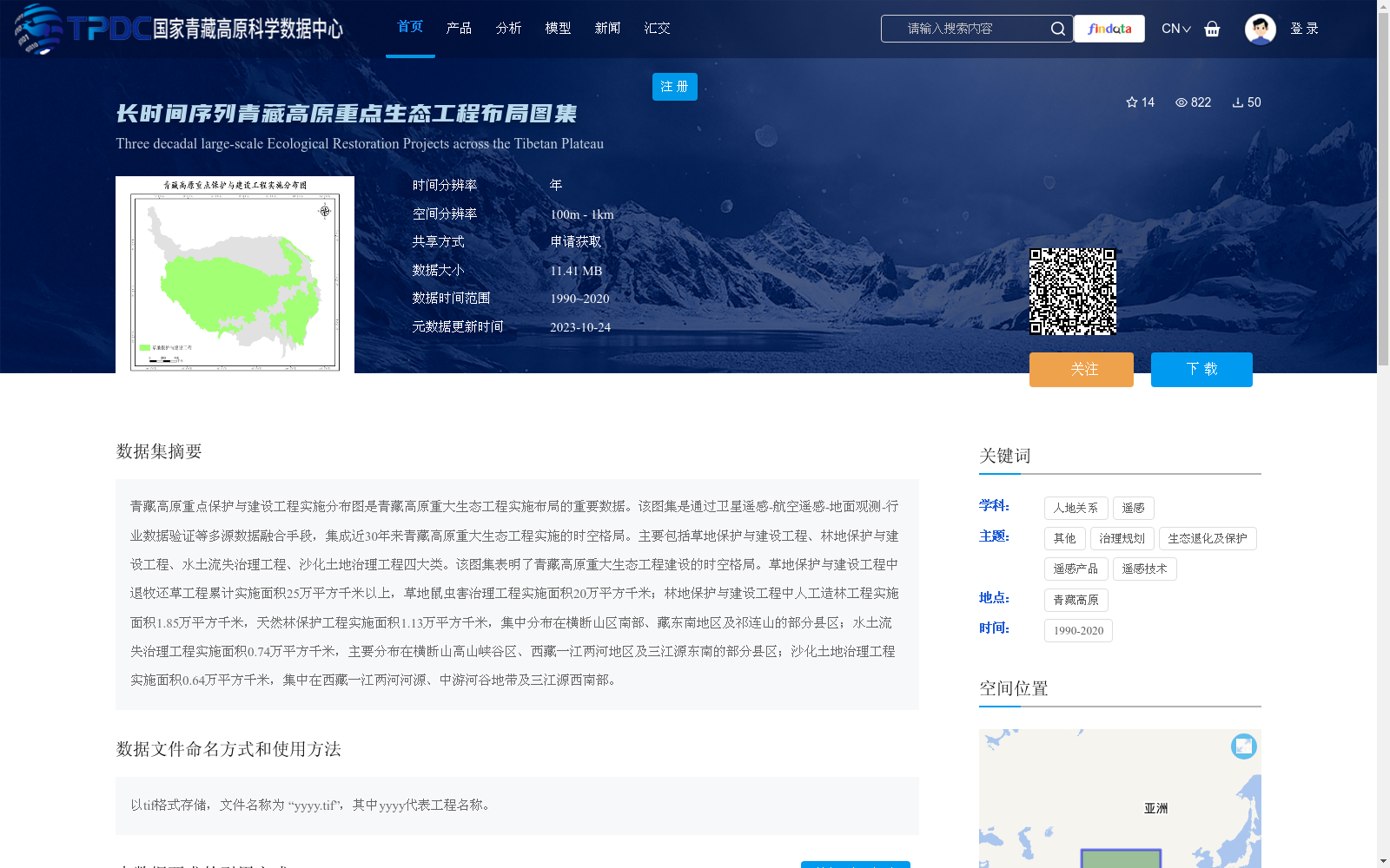
青藏高原重点保护与建设工程实施分布图是青藏高原重大生态工程实施布局的重要数据。该图集是通过卫星遥感-航空遥感-地面观测-行业数据验证等多源数据融合手段,集成近30年来青藏高原重大生态工程实施的时空格局。主要包括草地保护与建设工程、林地保护与建设工程、水土流失治理工程、沙化土地治理工程四大类。该图集表明了青藏高原重大生态工程建设的时空格局。草地保护与建设工程中退牧还草工程累计实施面积25万平方千米以上,草地鼠虫害治理工程实施面积20万平方千米;林地保护与建设工程中人工造林工程实施面积1.85万平方千米,天然林保护工程实施面积1.13万平方千米,集中分布在横断山区南部、藏东南地区及祁连山的部分县区;水土流失治理工程实施面积0.74万平方千米,主要分布在横断山高山峡谷区、西藏一江两河地区及三江源东南的部分县区;沙化土地治理工程实施面积0.64万平方千米,集中在西藏一江两河河源、中游河谷地带及三江源西南部。
The Distribution Map of Key Protection and Construction Projects on the Qinghai-Tibet Plateau is an important dataset for the implementation layout of major ecological projects on the Qinghai-Tibet Plateau. This atlas integrates the spatiotemporal patterns of major ecological project implementations on the Qinghai-Tibet Plateau over the past 30 years through multi-source data fusion approaches including satellite remote sensing, aerial remote sensing, ground observation, and industry data verification. It mainly includes four categories: grassland protection and construction projects, forest land protection and construction projects, soil erosion control projects, and sandy land control projects. This atlas reflects the spatiotemporal patterns of major ecological project construction on the Qinghai-Tibet Plateau. Among grassland protection and construction projects, the cumulative implemented area of the Grazing Withdrawal and Grassland Restoration Project exceeds 250,000 square kilometers, and the implemented area of grassland rodent and pest control projects reaches 200,000 square kilometers. Among forest land protection and construction projects, the implemented area of artificial afforestation projects is 18,500 square kilometers, and the implemented area of the Natural Forest Protection Project is 11,300 square kilometers, which are concentrated in southern Hengduan Mountains Region, Southeast Tibet, and some counties and districts of the Qilian Mountains. The implemented area of soil erosion control projects is 7,400 square kilometers, mainly distributed in the alpine gorge areas of the Hengduan Mountains, the "One River, Two Tributaries" region of Tibet (covering the Yarlung Zangbo River, Lhasa River and Nyangqu River basins), and some counties and districts in the southeast of the Three-River Source Region. The implemented area of sandy land control projects is 6,400 square kilometers, concentrated in the headwaters and middle reaches valley areas of the "One River, Two Tributaries" region of Tibet, as well as the southwest part of the Three-River Source Region.