Multibeam sonar bathymetric data for the Miami Pockmark and Key Biscayne Pockmark
收藏Mendeley Data2024-01-31 更新2024-06-30 收录
下载链接:
https://www.sciencebase.gov/catalog/item/5a96f5cee4b06990606c4ff0
下载链接
链接失效反馈官方服务:
资源简介:
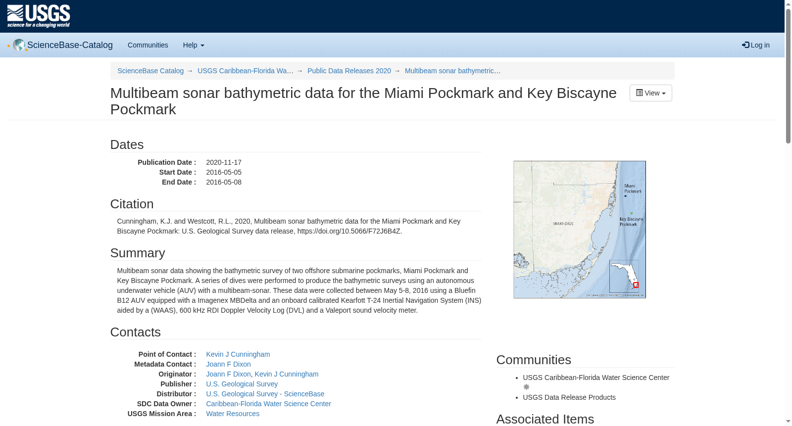
Multibeam sonar data showing the bathymetric survey of two offshore submarine pockmarks, Miami Pockmark and Key Biscayne Pockmark. A series of dives were performed to produce the bathymetric surveys using an autonomous underwater vehicle (AUV) with a multibeam-sonar. These data were collected between May 5-8, 2016 using a Bluefin B12 AUV equipped with a Imagenex MBDelta and an onboard calibrated Kearfott T-24 Inertial Navigation System (INS) aided by a (WAAS), 600 kHz RDI Doppler Velocity Log (DVL) and a Valeport sound velocity meter.
本数据集为多波束声呐(Multibeam sonar)数据,展示了两处近海海底麻坑——迈阿密麻坑(Miami Pockmark)与比斯坎湾麻坑(Key Biscayne Pockmark)的水深测量成果。研究团队借助搭载多波束声呐的自主水下航行器(autonomous underwater vehicle, AUV)开展了多轮水下潜次作业,以完成上述两处麻坑的水深测量工作。本次数据采集于2016年5月5日至8日期间,所用航行器为Bluefin B12自主水下航行器,其搭载Imagenex MBDelta多波束测深系统,以及经航行器校准的Kearfott T-24惯性导航系统(Inertial Navigation System, INS),该惯性导航系统辅以广域增强系统(WAAS)、600 kHz RDI多普勒测速仪(Doppler Velocity Log, DVL)与Valeport声速仪。
创建时间:
2024-01-31
搜集汇总
数据集介绍
背景与挑战
背景概述
该数据集包含2016年5月5日至8日使用自主水下航行器(AUV)和多波束声纳对迈阿密凹坑和基比斯坎凹坑两个海底凹坑进行的水深测量数据。数据收集的目的是获取这两个海底凹坑的多波束声纳水深数据,使用了Bluefin B12 AUV设备及其相关传感器。
以上内容由遇见数据集搜集并总结生成


