青藏高原1:25万重大水利工程扰动灾害风险分区图(1980~2020)
收藏国家青藏高原科学数据中心2024-12-27 更新2025-01-04 收录
下载链接:
https://data.tpdc.ac.cn/zh-hans/data/d21f7851-6fae-452d-b9e2-0059d8b909ec
下载链接
链接失效反馈官方服务:
资源简介:
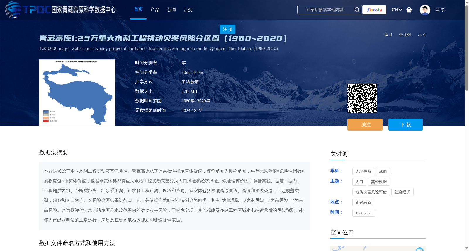
本数据考虑了重大水利工程扰动灾害危险性、青藏高原承灾体易损性和承灾体价值,评价单元为栅格单元,各单元风险值=危险性指数×易损度值×承灾体价值,根据承灾体类型将重大电站工程扰动灾害分为人口风险和经济风险。危险性评价因子包括高程、坡度、坡向、工程地质岩组、距断裂距离、距水系距离、距水利工程距离、PGA和降雨。承灾体包括青藏高原国道、高速和次级公路,土地覆盖类型,GDP和人口密度。对风险分区结果进行归一化,并依据自然间断点法划分为四类,其中1为低风险,2为中风险,3为高风险,4为极高风险。该数据评估了水电站库区分水岭范围内的扰动灾害风险,同时也实现了其他拟建及在建工程区域水电站运营后的风险预测,能够为已建水电站的正常运行,未建及在建水电站的规划和建设提供依据。
This dataset considers the hazard of disturbance disasters caused by major water conservancy projects, as well as the vulnerability and value of hazard-bearing bodies on the Qinghai-Tibet Plateau. The evaluation unit is grid cells, and the risk value of each cell is calculated as Hazard Index × Vulnerability Value × Hazard-bearing Body Value. Based on the type of hazard-bearing bodies, disturbance disasters from major hydropower projects are categorized into population risk and economic risk. Hazard assessment factors consist of elevation, slope, aspect, engineering geological rock formations, distance to faults, distance to water systems, distance to water conservancy projects, Peak Ground Acceleration (PGA), and rainfall. Hazard-bearing bodies on the Qinghai-Tibet Plateau include national highways, expressways, secondary roads, land cover types, GDP, and population density. The risk zoning results are normalized and classified into four categories via the Jenks Natural Breaks method, with 1 indicating low risk, 2 medium risk, 3 high risk, and 4 extremely high risk. This dataset assesses disturbance disaster risks within the watersheds of hydropower station reservoir areas, and also enables post-operation risk prediction for hydropower stations in other proposed and under-construction project areas. It can provide a reliable basis for the normal operation of completed hydropower stations, as well as the planning and construction of unbuilt and under-construction hydropower stations.
提供机构:
祁生文
创建时间:
2024-12-24
搜集汇总
数据集介绍
背景与挑战
背景概述
该数据集是青藏高原1980年至2020年1:25万比例尺的重大水利工程扰动灾害风险分区图,基于危险性、易损性和承灾体价值综合评估风险,将风险划分为低、中、高、极高四个等级,用于支持水电站运行和规划决策。数据空间分辨率为10m-100m,以栅格单元形式提供,可通过申请获取。
以上内容由遇见数据集搜集并总结生成


