G4221高速公路江苏段低空视频数据集
收藏江苏数据知识产权登记系统2025-06-25 更新2025-07-18 收录
下载链接:
https://dataip.jsipp.cn/#/changeDetialCertical?pType=登记&cType=登记&id=19b9701b64f5983839a97eb03886e313
下载链接
链接失效反馈官方服务:
资源简介:
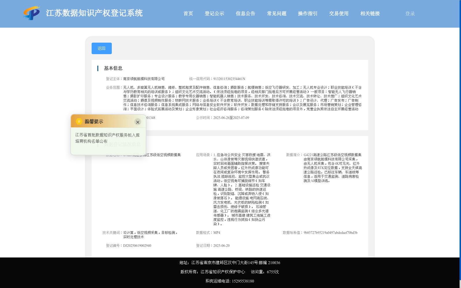
G4221高速公路江苏段低空视频数据集由南京领航航模科技有限公司采集,由无人机采集,包含4K可见光、红外热成像及RTK定位数据,支持全天候高速公路巡检。已标注车辆、车道线等信息,适用于交通监测、道路病害检测及AI模型训练。
The low-altitude video dataset for the Jiangsu section of the G4221 Expressway was collected by Nanjing Pilot Aviation Model Technology Co., Ltd. via unmanned aerial vehicles (UAVs). The dataset contains 4K visible light footage, infrared thermal imaging data and RTK positioning data, and supports all-weather expressway inspection. It has been annotated with information such as vehicles and lane lines, and is applicable to traffic monitoring, road disease detection and AI model training.
提供机构:
南京领航航模科技有限公司
搜集汇总
数据集介绍
背景与挑战
背景概述
该数据集聚焦于G4221高速公路江苏段的低空视频数据,由无人机采集,包含4K可见光、红外热成像和RTK定位信息,支持全天候巡检。数据已标注车辆和车道线等关键元素,适用于交通监测、道路病害检测以及人工智能模型训练,具有高精度和多场景应用价值。
以上内容由遇见数据集搜集并总结生成


