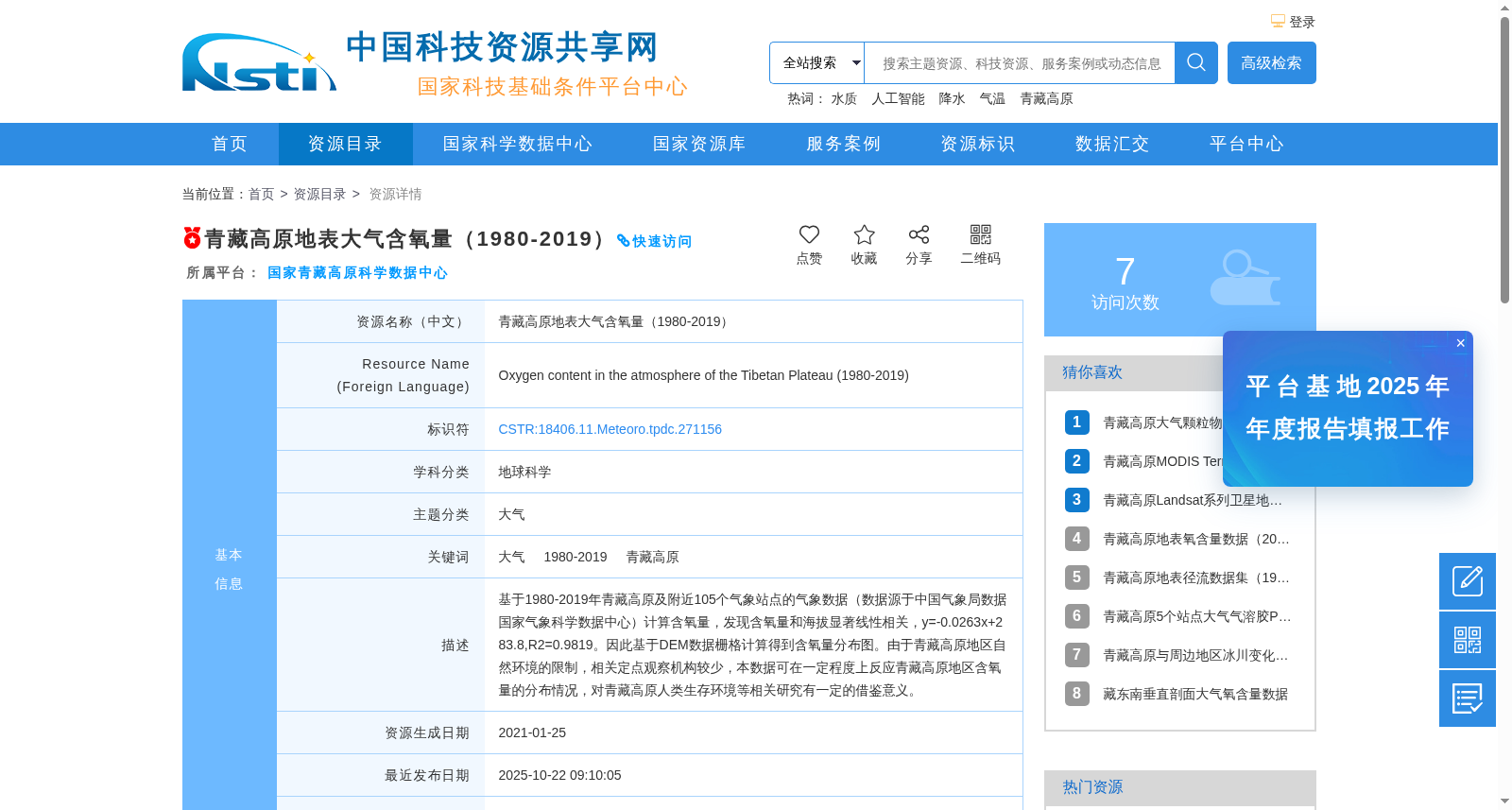
青藏高原地表大气含氧量(1980-2019)
收藏资源简介:
基于1980-2019年青藏高原及附近105个气象站点的气象数据(数据源于中国气象局数据国家气象科学数据中心)计算含氧量,发现含氧量和海拔显著线性相关,y=-0.0263x+283.8,R2=0.9819。因此基于DEM数据栅格计算得到含氧量分布图。由于青藏高原地区自然环境的限制,相关定点观察机构较少,本数据可在一定程度上反应青藏高原地区含氧量的分布情况,对青藏高原人类生存环境等相关研究有一定的借鉴意义。
Based on meteorological data from 105 meteorological stations on and around the Qinghai-Tibet Plateau during 1980-2019 (sourced from the National Meteorological Science Data Center, China Meteorological Administration), oxygen content was calculated. A significant linear correlation was identified between oxygen content and altitude, with the regression equation y = -0.0263x + 283.8 and coefficient of determination R² = 0.9819. Accordingly, the oxygen content distribution map was generated through grid-based calculation using DEM (Digital Elevation Model) data. Due to the constraints of the natural environment in the Qinghai-Tibet Plateau, the number of relevant fixed-point observation institutions is relatively small. This dataset can reflect the oxygen content distribution in the Qinghai-Tibet Plateau to a certain extent, and has certain reference value for relevant studies such as those on the human living environment of the Qinghai-Tibet Plateau.