2017-2021年中国大豆10米分辨率种植面积数据集
收藏资源简介:
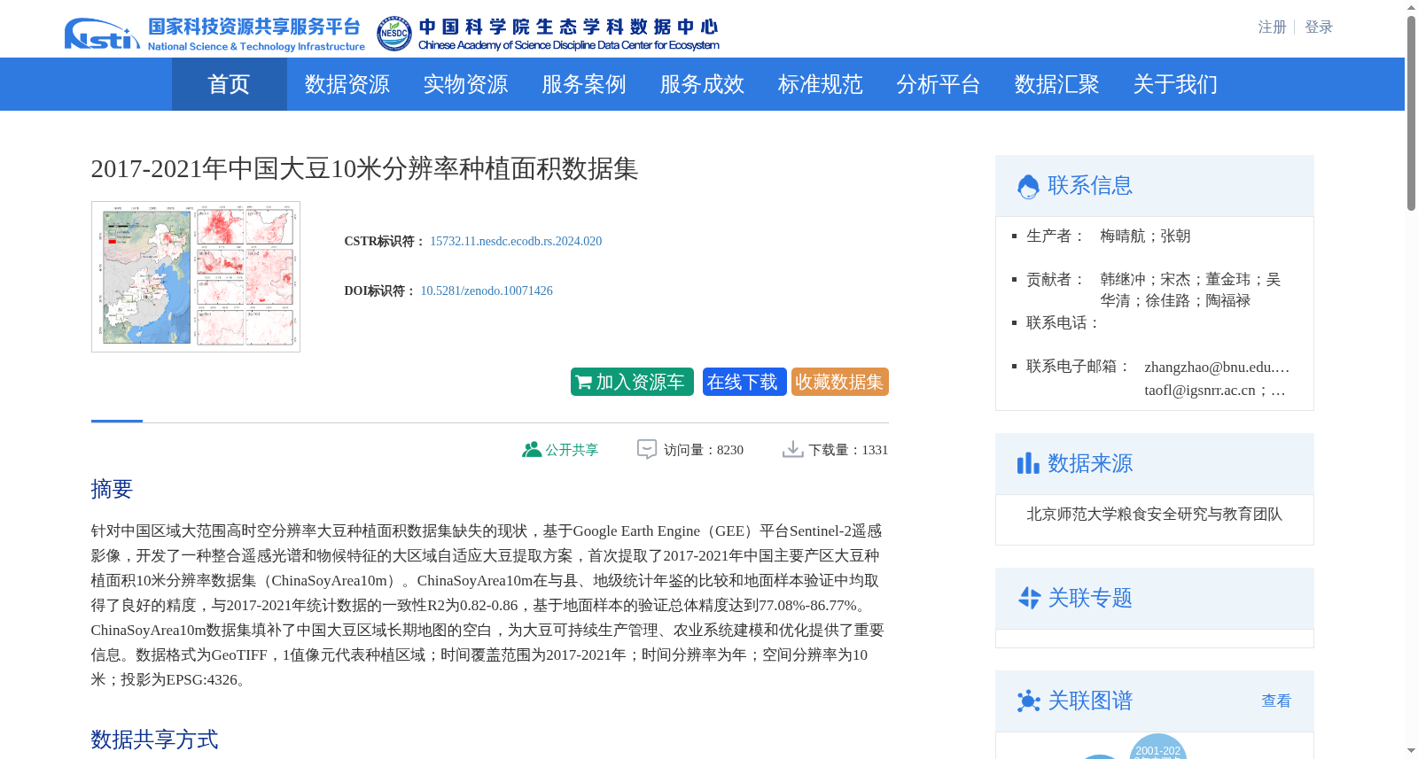
针对中国区域大范围高时空分辨率大豆种植面积数据集缺失的现状,基于Google Earth Engine(GEE)平台Sentinel-2遥感影像,开发了一种整合遥感光谱和物候特征的大区域自适应大豆提取方案,首次提取了2017-2021年中国主要产区大豆种植面积10米分辨率数据集(ChinaSoyArea10m)。ChinaSoyArea10m在与县、地级统计年鉴的比较和地面样本验证中均取得了良好的精度,与2017-2021年统计数据的一致性R2为0.82-0.86,基于地面样本的验证总体精度达到77.08%-86.77%。ChinaSoyArea10m数据集填补了中国大豆区域长期地图的空白,为大豆可持续生产管理、农业系统建模和优化提供了重要信息。数据格式为GeoTIFF,1值像元代表种植区域;时间覆盖范围为2017-2021年;时间分辨率为年;空间分辨率为10米;投影为EPSG:4326。
Aiming at the current gap in large-scale high spatiotemporal resolution soybean planting area datasets across China, we developed a large-scale adaptive soybean extraction scheme integrating remote sensing spectral and phenological features based on the Google Earth Engine (GEE) platform and Sentinel-2 remote sensing imagery, and for the first time extracted the 10-meter resolution soybean planting area dataset (ChinaSoyArea10m) of major soybean-producing regions in China from 2017 to 2021. The ChinaSoyArea10m dataset achieved excellent accuracy in both comparisons with county and prefectural statistical yearbooks and validation using ground samples. The coefficient of determination (R²) between the dataset and official statistical data from 2017 to 2021 ranges from 0.82 to 0.86, and the overall accuracy based on ground sample validation reaches 77.08%–86.77%. The ChinaSoyArea10m dataset fills the gap in long-term soybean regional maps across China, providing critical information for sustainable soybean production management, agricultural system modeling and optimization. The dataset is stored in GeoTIFF format, where pixel values of 1 represent soybean planting areas. Its temporal coverage spans from 2017 to 2021, with an annual temporal resolution, 10-meter spatial resolution, and uses the EPSG:4326 coordinate reference system.