
Simulated SWOT products
收藏DataCite Commons2023-06-01 更新2024-07-13 收录
下载链接:
https://www.aviso.altimetry.fr/en/data/products/sea-surface-height-products/global/simulated-swot-products.html
下载链接
链接失效反馈官方服务:
资源简介:
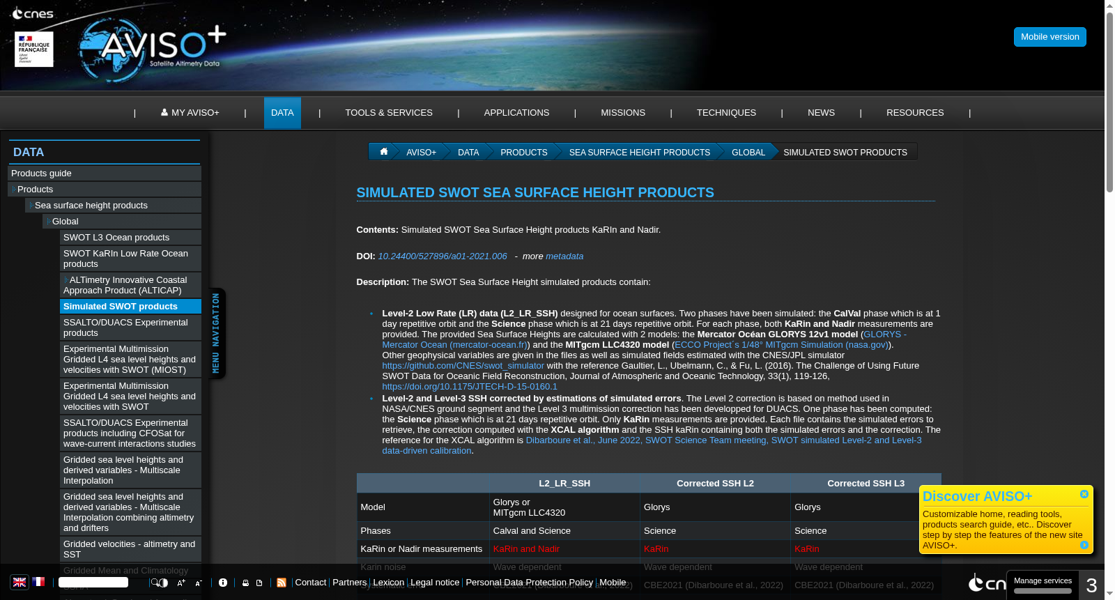
The SWOT Sea Surface Height simulated products contain Level-2 Low Rate (LR) data (L2_LR_SSH) designed for ocean surfaces. Two phases have been simulated: the CalVal phase wich is at 1 day repetitive orbit and the Science phase which is at 21 days repetitive orbit. For each phase, both KaRin and Nadir measurements are provided. The provided Sea Surface Heights are calculated with 2 models: the Mercator Océan GLORYS 12v1 model (GLORYS - Mercator Ocean (mercator-ocean.fr)) and the MITgcm LLC4320 model. Other geophysical variables are given in the files as well as simulated fields estimated with the simulator https://github.com/CNES/swot_simulator. Two datasets have been added (GLORYS only) Level-2 and Level-3 SSH corrected by estimations of simulated errors
水面及海洋地形观测卫星(SWOT)海面高度(Sea Surface Height, SSH)模拟产品包含面向海洋表面设计的二级(Level-2)低速率(Low Rate, LR)数据(L2_LR_SSH)。该数据集模拟了两个任务阶段:校准与验证(CalVal)阶段采用1天重复轨道,科学观测阶段采用21天重复轨道。针对每个阶段,均提供了KaRin与天底点(Nadir)观测数据。
本次提供的海面高度数据基于两款模型计算得到:分别是墨卡托海洋(Mercator Océan)GLORYS 12v1模型(GLORYS - 墨卡托海洋官网:mercator-ocean.fr)以及MITgcm LLC4320模型。
数据文件中还包含其他地球物理变量,以及通过模拟器https://github.com/CNES/swot_simulator估算得到的模拟场。
额外新增了两份仅基于GLORYS模型的数据集:即经模拟误差估算校正后的二级(Level-2)与三级(Level-3)海面高度(SSH)数据。
提供机构:
CNES
创建时间:
2021-12-13
搜集汇总
数据集介绍
背景与挑战
背景概述
该数据集提供模拟的SWOT海面高度产品,包括Level-2低速率数据和经过校正的Level-2、Level-3 SSH数据,基于GLORYS和MITgcm模型生成,覆盖全球范围,适用于海洋学和地球物理研究。
以上内容由遇见数据集搜集并总结生成



