城市建设规模扩展监测服务
收藏郑州数据交易中心2023-10-31 更新2024-10-10 收录
下载链接:
https://market.zzbdex.com/trade/service/1719185038148014081
下载链接
链接失效反馈官方服务:
资源简介:
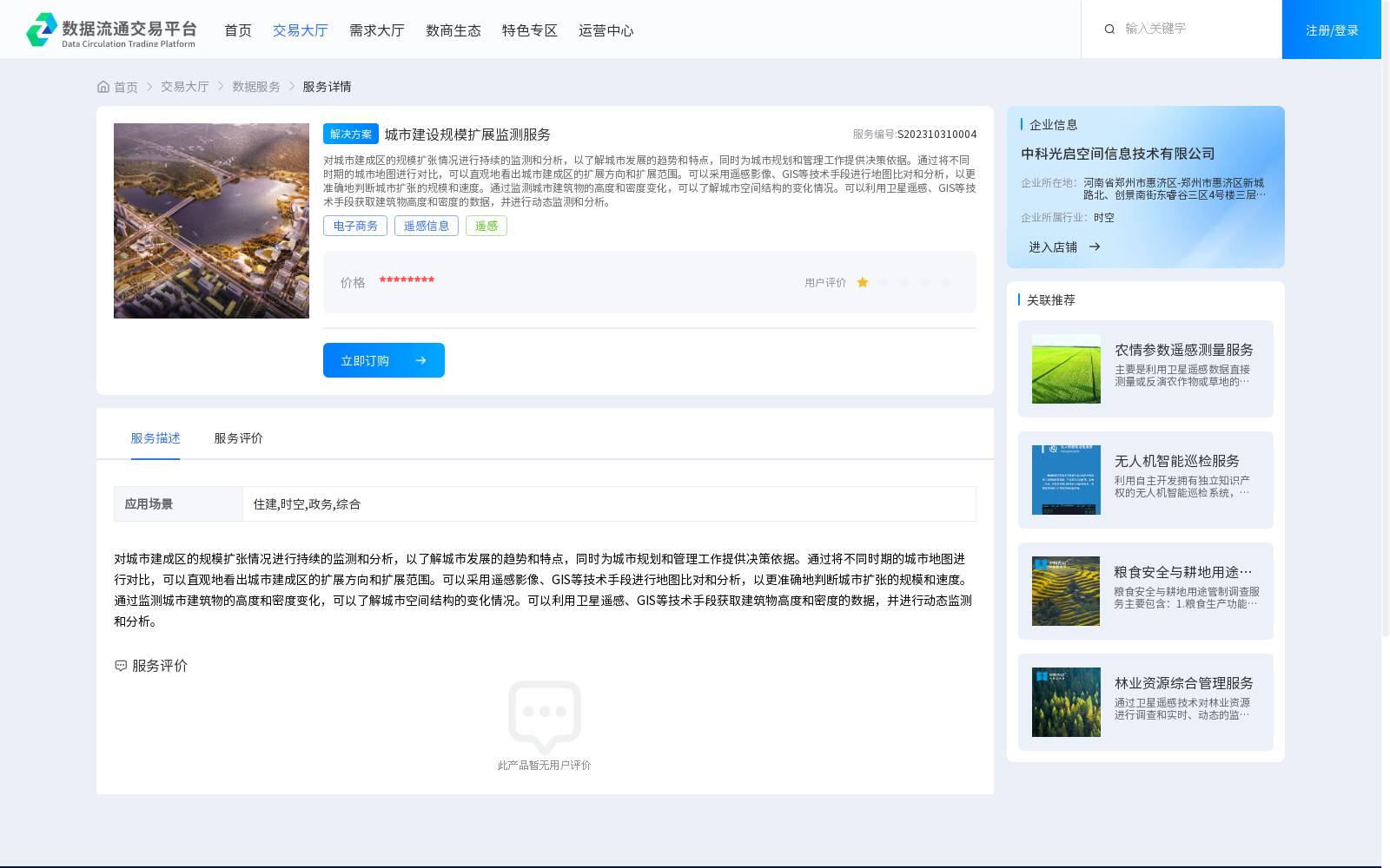
对城市建成区的规模扩张情况进行持续的监测和分析,以了解城市发展的趋势和特点,同时为城市规划和管理工作提供决策依据。通过将不同时期的城市地图进行对比,可以直观地看出城市建成区的扩展方向和扩展范围。可以采用遥感影像、GIS等技术手段进行地图比对和分析,以更准确地判断城市扩张的规模和速度。通过监测城市建筑物的高度和密度变化,可以了解城市空间结构的变化情况。可以利用卫星遥感、GIS等技术手段获取建筑物高度和密度的数据,并进行动态监测和分析。
Continuous monitoring and analysis of the scale expansion of urban built-up areas are carried out to grasp the trends and characteristics of urban development, while providing decision-making support for urban planning and management. By comparing urban maps from different periods, the expansion direction and scope of urban built-up areas can be intuitively perceived. Technical approaches such as remote sensing imagery and Geographic Information System (GIS) can be utilized for map comparison and analysis, enabling more accurate assessment of the scale and rate of urban expansion. Monitoring changes in the height and density of urban buildings helps understand the evolution of urban spatial structure. Data on building height and density can be collected via satellite remote sensing, GIS and other technical means, followed by dynamic monitoring and analysis.
提供机构:
中科光启空间信息技术有限公司
创建时间:
2023-10-31
搜集汇总
数据集介绍
背景与挑战
背景概述
该数据集提供城市建设规模扩展的监测服务,通过遥感影像和GIS技术分析城市建成区的扩张趋势和空间结构变化,服务于城市规划和管理决策。应用场景涵盖住建、时空、政务等多个领域。
以上内容由遇见数据集搜集并总结生成


