辽宁省30m分辨率城镇化占用耕地空间数据集(2015-2020年)
收藏国家地球系统科学数据中心2024-11-27 更新2024-11-16 收录
下载链接:
https://www.geodata.cn/data/datadetails.html?dataguid=43511106084937&docId=2158
下载链接
链接失效反馈官方服务:
资源简介:
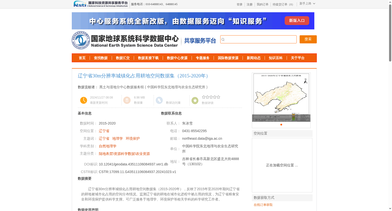
辽宁省30m分辨率城镇化占用耕地空间数据集(2015-2020年),反映了2015年至2020年期间辽宁省的耕地被城市化占用的空间分布情况。监测辽宁省的耕地在城市化进程中被占用的情况,为辽宁省粮食安全和环境保护提供科学支撑。可广泛服务于地理学、环境保护等相关学科的科学研究工作者。
30m Spatial Dataset of Cultivated Land Occupied by Urbanization in Liaoning Province (2015–2020). This dataset documents the spatial distribution of cultivated land in Liaoning Province that has been occupied by urbanization during the period from 2015 to 2020. Monitoring such urbanization-induced cultivated land occupation in Liaoning Province provides scientific support for the province's food security and environmental protection. It can be widely utilized by scientific researchers in relevant disciplines including geography and environmental protection.
提供机构:
中国科学院东北地理与农业生态研究所
创建时间:
2024-10-23
搜集汇总
数据集介绍
背景与挑战
背景概述
该数据集反映了2015年至2020年期间辽宁省的耕地被城市化占用的空间分布情况,分辨率为30米。数据基于Landsat遥感影像和多元辅助信息,采用面向对象的遥感图像分类方法提取,精度可靠,适用于地理学和环境保护等领域的科学研究。
以上内容由遇见数据集搜集并总结生成


