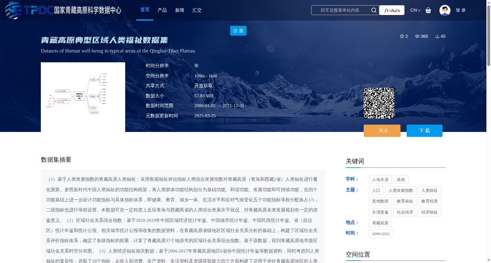
青藏高原典型区域人类福祉数据集
收藏国家青藏高原科学数据中心2025-03-25 更新2025-02-01 收录
下载链接:
https://data.tpdc.ac.cn/zh-hans/data/7d8bbf3d-40ca-4bd4-9870-d14ca3147d80
下载链接
链接失效反馈官方服务:
资源简介:
(1)基于人类发展指数的青藏高原人类福祉:采用客观福祉评估指标人类综合发展指数对青藏高原(青海和西藏2省)人类福祉进行量化测算。参照新时代中国人类福祉的功能结构框架,将人类群体功能结构划分为基础功能、和谐功能、发展功能和可持续功能,在四个功能基础上进一步设计功能指标与具体指标体系,即健康、教育、城乡一体、生活水平和应对气候变化五个功能指标等权分配各占1/5,二级指标也进行等权设置。本数据可在一定程度上反应青海与西藏两省的人类综合发展水平状况,对青藏高原未来发展规划有一定的借鉴意义。(2)区域社会关系综合指数:基于2010-2019年中国区域经济统计年鉴、中国城市统计年鉴、中国民政统计年鉴、省(自治区)统计年鉴和统计公报、相关城市统计公报等收集的数据资料,在青藏高原省级地区区域社会关系分析的基础上,构建了区域社会关系评价指标体系,确定了各级指标的权重,计算了青藏高原37个地级市的区域社会关系综合指数。基于该数据,得到青藏高原地市级区域社会关系时空分布图。(3)人类经济福祉相关数据:基于2000-2017年青藏高原地区6省份中国统计年鉴等数据资料,同时考虑到人类福祉的复杂性,选取了18个指标,从收入和消费、生产资料、生活资料及资源获取能力四个方面构建了适用于评价青藏高原地区的人类经济福祉指标体系;基于2007-2018年青藏高原地区17个地级市中国城市统计年鉴、省(自治区)统计年鉴和统计公报、相关城市统计公报等资料数据,考虑到青藏高原地区典型市的实际情况,选取了22个指标,从收入和消费、生产资料、生活资料、资源获取能力及身体健康五个方面构建了人类福祉指标体系。该指标有助于更好了解青藏高原各地区居民的经济、物质、生产资料等基础生活的实际状况。(4)青藏高原生境质量:本数据集基于InVEST模型,运用土地利用数据、道路数据和地形数据等数据,计算得出2000年至2020年的青藏高原生境质量。数据跨度为20年,每5年提供一期数据,分辨率为1000m。其中,土地利用数据来源于全球 30 米地表覆盖精细分类产品(http://data.casearth.cn/sdo/list)。DEM数据来源于国家青藏高原科学数据中心(http://data.tpdc.ac.cn)。道路数据来源于OpenStreetMap网站(http://openstreetmap.org/)。(5)教育福祉:基于中华人民共和国教育部官网发布的2013—2021年各省份的教育统计数据、高等学校科技统计资料汇编、中国残疾人事业统计年鉴、中国教育经费统计年鉴、相关研究报告以及其他公开可获取的数据,选择熵权法对各评估指标进行客观权重确定,按照自然断点法对获取的2013年和2021年各类教育福祉评估数据进行分级,绘制各级各类学校教育福祉评分图和综合教育福祉评分图,更准确地了解青藏高原各类教育福祉和综合教育福祉的时空格局,为相关部门提供科学依据和决策参考。(6)大渡河流域人类福祉:基于2000-2019年大渡河流域15个气象站的气象数据、人均耕地面积计算自然资本,选取劳动力和万人占有小学中学数量两个指标计算人力资本,选取农业用水设施建设水平、单位面积用电量计算物质资本,选择人均GDP计算金融资本,选择第三产业占比计算社会资本。利用ArcGIS分析获得2000-2019年大渡河流域人类福祉时空分布图。本数据可在一定程度上反应大渡河流域人类福祉的分布情况,对该地区人类福祉与气象灾害关系、气象防灾减灾等相关研究有一定的借鉴意义。
(1) Human Well-being on the Qinghai-Tibet Plateau Based on Human Development Index: We quantitatively measured the human well-being of the Qinghai-Tibet Plateau (covering Qinghai Province and Tibet Autonomous Region) using the comprehensive human development index, an objective well-being assessment indicator. Referring to the functional structure framework of human well-being in the new era of China, we divided the functional structure of human populations into basic function, harmonious function, development function and sustainable function. On this basis, we further designed functional indicator and specific indicator systems: the five functional indicators including health, education, urban-rural integration, living standards and climate change response are equally weighted, each accounting for 1/5, and the secondary indicators are also equally weighted. This dataset can reflect the comprehensive human development level of Qinghai Province and Tibet Autonomous Region to a certain extent, and has certain reference significance for the future development planning of the Qinghai-Tibet Plateau. (2) Regional Social Relations Comprehensive Index: Based on data collected from China Regional Economic Statistical Yearbook, China Urban Statistical Yearbook, China Civil Affairs Statistical Yearbook, provincial (autonomous region) statistical yearbooks and statistical bulletins, relevant urban statistical bulletins and other materials from 2010 to 2019, we constructed a regional social relations evaluation indicator system on the basis of regional social relations analysis of provincial-level regions on the Qinghai-Tibet Plateau, determined the weights of indicators at all levels, and calculated the comprehensive regional social relations index of 37 prefecture-level cities on the Qinghai-Tibet Plateau. Based on this data, we obtained the spatial-temporal distribution map of prefecture-level regional social relations on the Qinghai-Tibet Plateau. (3) Human Economic Well-being Related Data: Based on data materials such as China Statistical Yearbooks of the 6 provinces in the Qinghai-Tibet Plateau region from 2000 to 2017, and considering the complexity of human well-being, we selected 18 indicators to construct a human economic well-being indicator system applicable to the Qinghai-Tibet Plateau region from four aspects: income and consumption, means of production, means of subsistence and resource acquisition ability. Based on data from China Urban Statistical Yearbooks, provincial (autonomous region) statistical yearbooks and statistical bulletins, relevant urban statistical bulletins and other materials of 17 prefecture-level cities in the Qinghai-Tibet Plateau region from 2007 to 2018, and considering the actual situation of typical cities in the Qinghai-Tibet Plateau region, we selected 22 indicators to construct a human well-being indicator system from five aspects: income and consumption, means of production, means of subsistence, resource acquisition ability and physical health. This indicator system helps to better understand the actual situation of basic livelihoods such as residents' economic, material and means of production in various regions of the Qinghai-Tibet Plateau. (4) Habitat Quality of the Qinghai-Tibet Plateau: This dataset is based on the InVEST model, using land use data, road data, topographic data and other related data to calculate the habitat quality of the Qinghai-Tibet Plateau from 2000 to 2020. The dataset covers a 20-year period, with one temporal snapshot provided every 5 years, and a spatial resolution of 1000 m. The land use data is derived from the global 30m surface cover fine classification product (http://data.casearth.cn/sdo/list). DEM data is derived from the National Qinghai-Tibet Plateau Scientific Data Center (http://data.tpdc.ac.cn). Road data is derived from the OpenStreetMap website (http://openstreetmap.org/). (5) Educational Well-being: Based on educational statistical data of each province from 2013 to 2021 published on the official website of the Ministry of Education of the People's Republic of China, compilation of scientific and technological statistical data of institutions of higher learning, China Disabled Persons' Statistical Yearbook, China Educational Finance Statistical Yearbook, relevant research reports and other publicly available data, we used the entropy weight method to determine the objective weights of each evaluation indicator. We classified the obtained educational well-being evaluation data of various types in 2013 and 2021 using the natural breaks method, and drew the educational well-being score maps of all types of schools and the comprehensive educational well-being score map, so as to more accurately understand the spatial-temporal pattern of various types of educational well-being and comprehensive educational well-being on the Qinghai-Tibet Plateau, providing scientific basis and decision-making references for relevant departments. (6) Human Well-being in the Dadu River Basin: Based on meteorological data from 15 meteorological stations in the Dadu River Basin from 2000 to 2019, we calculated natural capital using per capita arable land area, selected two indicators of labor force and number of primary and secondary schools per 10,000 people to calculate human capital, selected agricultural water facility construction level and electricity consumption per unit area to calculate physical capital, selected per capita GDP to calculate financial capital, and selected the proportion of tertiary industry to calculate social capital. We used ArcGIS to analyze and obtain the spatial-temporal distribution map of human well-being in the Dadu River Basin from 2000 to 2019. This dataset can reflect the distribution of human well-being in the Dadu River Basin to a certain extent, and has certain reference significance for relevant studies on the relationship between human well-being and meteorological disasters, meteorological disaster prevention and mitigation and other topics in this region.
提供机构:
董孝斌
创建时间:
2025-01-21
搜集汇总
数据集介绍
背景与挑战
背景概述
该数据集是一个综合性的青藏高原人类福祉评估数据集,涵盖2000年至2021年,包括人类发展指数、区域社会关系、经济福祉、生境质量、教育福祉和大渡河流域福祉等多个子集,空间分辨率为100m至1km。它通过多维度指标(如健康、教育、经济、生态环境)量化评估人类福祉,旨在为青藏高原的区域发展规划和科学研究提供数据支持。
以上内容由遇见数据集搜集并总结生成


