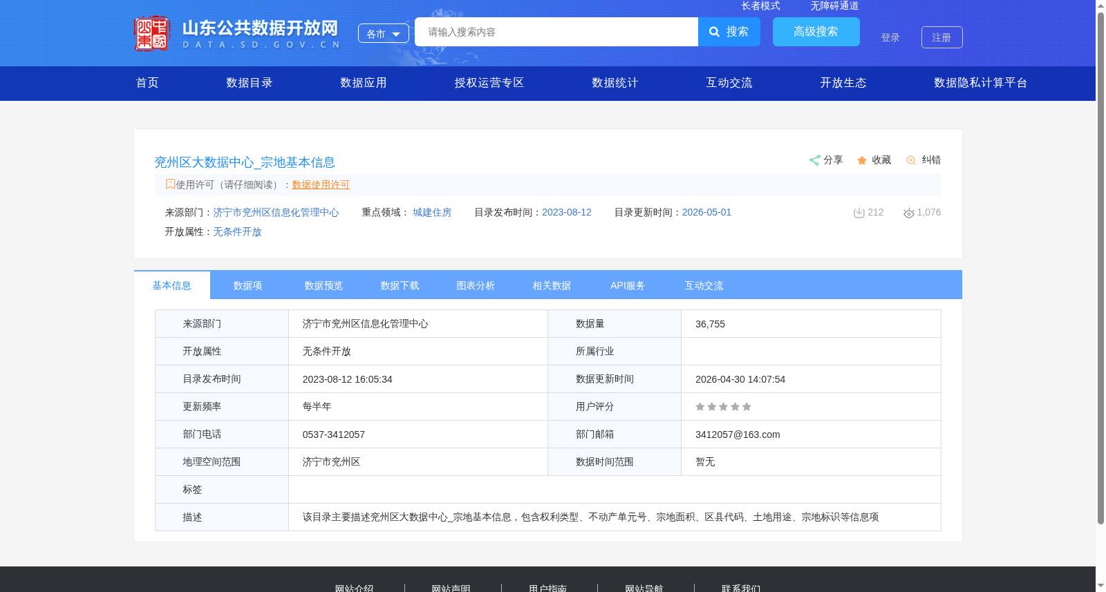
# **Texas Land Parcel Dataset** This dataset provides comprehensive and up-to-date information on land parcels across the state of Texas, designed for integration and analysis in Snowflake. It is ide
Cadastral map is a binding state map series of large scale. Its contents are points of minor horizontal geodetic control, planimetry and map lettering. It can have the form of digital map, analogue ma