全球洪涝灾害数据集(1900-2020年)
收藏国家地球系统科学数据中心2021-11-25 更新2024-03-04 收录
下载链接:
https://www.geodata.cn/data/datadetails.html?dataguid=2604920&docId=10602
下载链接
链接失效反馈资源简介:
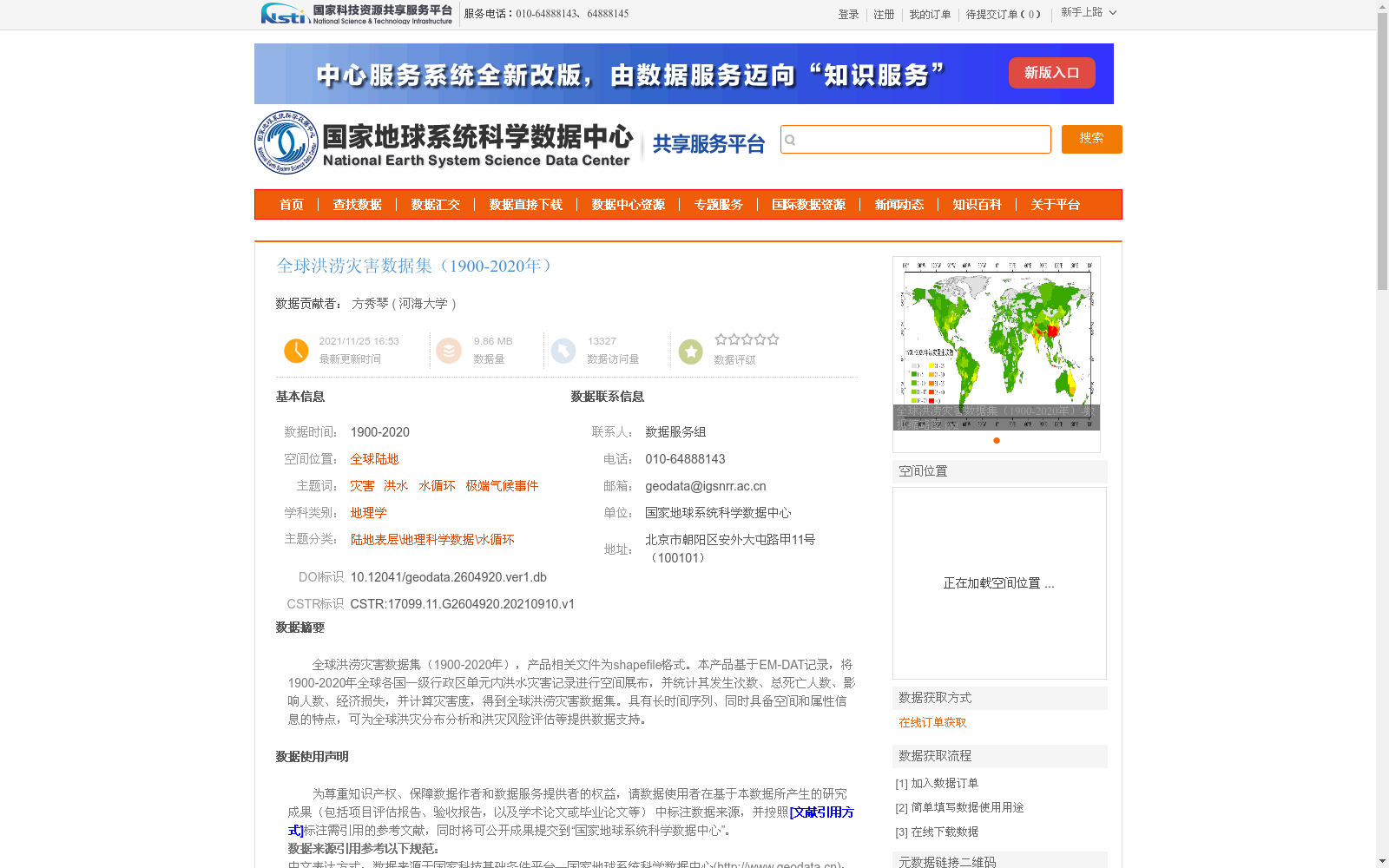
全球洪涝灾害数据集(1900-2020年),产品相关文件为shapefile格式。本产品基于EM-DAT记录,将1900-2020年全球各国一级行政区单元内洪水灾害记录进行空间展布,并统计其发生次数、总死亡人数、影响人数、经济损失,并计算灾害度,得到全球洪涝灾害数据集。具有长时间序列、同时具备空间和属性信息的特点,可为全球洪灾分布分析和洪灾风险评估等提供数据支持。
Global Flood Disaster Dataset (1900–2020)
The relevant product files are in Shapefile format. This dataset is developed based on EM-DAT records, by spatially distributing flood disaster records within the first-level administrative divisions of all countries worldwide from 1900 to 2020. It further counts the number of disaster occurrences, total fatalities, affected population, and economic losses, and calculates the disaster intensity to produce the final global flood disaster dataset. Featuring a long time series, as well as both spatial and attribute information, this dataset can provide data support for global flood distribution analysis, flood risk assessment and other related research works.
提供机构:
河海大学
创建时间:
2021-09-10
AI搜集汇总
数据集介绍
背景与挑战
背景概述
该数据集是一个全球范围的洪涝灾害历史记录集合,覆盖1900年至2020年,基于EM-DAT记录将洪水灾害空间展布到各国一级行政区单元,并统计了发生次数、死亡人数、影响人数、经济损失和灾害度等属性。数据集以shapefile格式提供,具有长时间序列和空间属性信息相结合的特点,主要用于全球洪灾分布分析和风险评估,数据经过质量控制,适用于地理学和灾害研究领域。
以上内容由AI搜集并总结生成


