OctoSense
收藏资源简介:
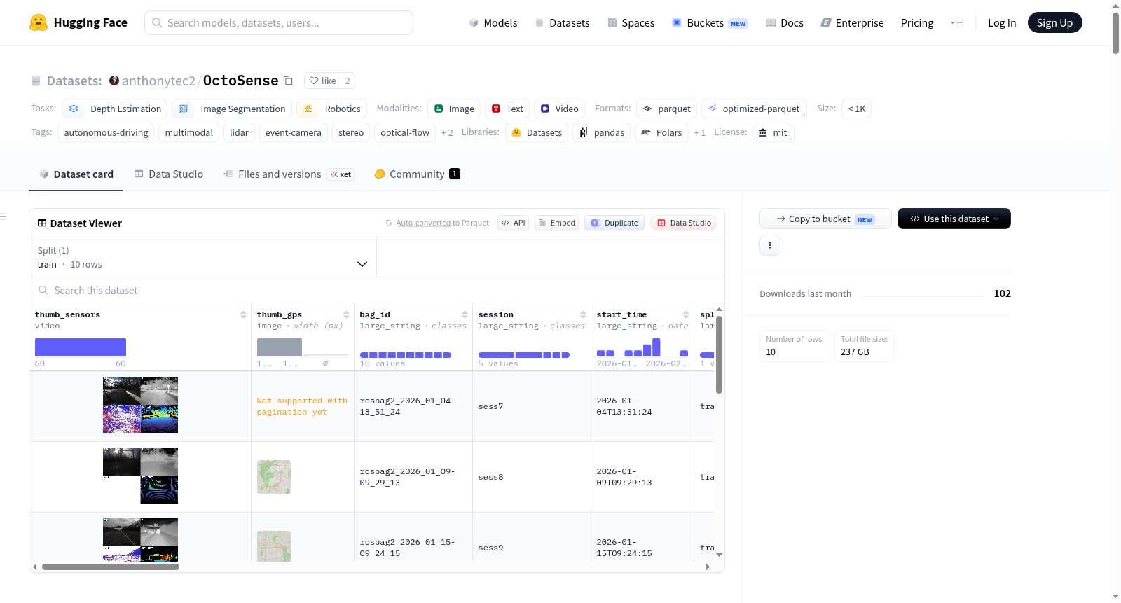
OctoSense 是一个大规模、时间同步且经过校准的多模态自动驾驶数据集。该数据集包含 371 个驾驶序列,总时长 59.0 小时,总里程 2474 公里,数据量达 8.43 TB。数据采集于美国长岛和费城地区,覆盖了城市、郊区和乡村(高速公路/住宅区/市区)等多种道路环境,并包含了日出、白天、日落和夜间等不同光照条件。数据集的核心是多传感器同步采集系统,包括:立体 RGB 相机(1920×1456,100 Hz)、立体事件相机(640×480,约 7 MEv/s)、红外热像仪(320×256,50 Hz)、Ouster OS1-64 线激光雷达(10 Hz)、两个 IMU(400 Hz 和 100 Hz)、GNSS 接收器(5 Hz,支持 RTK)以及车辆 CAN 总线信号。所有传感器数据均基于一个共同的 PPS 同步主时钟进行时间对齐。除了原始传感器数据流,数据集还提供了丰富的地面真值(Ground Truth)和衍生数据:基于 LiDAR 和惯性数据的 RKO-LIO 里程计(自运动)、稀疏的度量深度图(在矫正后的左 RGB 图像中)、由深度和位姿推导出的光流(仅由自运动引起)、基于 Cityscapes 19 类别的语义分割伪标签(仅限 303 个白天序列),以及一个融合了 LiDAR 惯性里程计和 GPS 的参考轨迹(在 UTM 相对世界坐标系中)。此外,每个序列还包含由视觉语言模型生成的场景描述文本(Caption)及其对应的文本嵌入向量,支持基于语义的检索。数据以分层结构组织,主要文件包括:包含 LiDAR、IMU、GPS、CAN、校准参数和融合轨迹的 `data.h5`;存储原始异步事件流的 `events.h5`;H.265 编码的 RGB 和红外视频文件;以及分别存储深度、语义分割和场景描述的地面真值 H5 文件。所有序列的元数据(如持续时间、帧数、GPS 质量、传感器标定 ID 等)集中存储在 `metadata.parquet` 文件中。数据集已划分为 293 个训练序列和 78 个测试序列。该数据集适用于计算机视觉、机器人感知和自动驾驶领域的多项任务研究,特别是深度估计、语义分割、光流估计、里程计/定位、传感器融合以及多模态(尤其是事件相机)表征学习。
OctoSense is a large-scale, time-synchronized and calibrated multimodal autonomous driving dataset. This dataset contains 371 driving sequences, with a total duration of 59.0 hours, a total mileage of 2474 kilometers, and a total data volume of 8.43 TB. The data was collected in Long Island and Philadelphia, USA, covering various road environments such as urban, suburban, and rural (highway/residential/urban downtown) areas, as well as different lighting conditions including sunrise, daytime, sunset, and nighttime. The core of this dataset is the multi-sensor synchronous acquisition system, which includes: stereo RGB cameras (1920×1456, 100 Hz), stereo event cameras (640×480, ~7 MEv/s), infrared thermal cameras (320×256, 50 Hz), Ouster OS1-64 channel LiDAR (10 Hz), two IMUs (400 Hz and 100 Hz), a GNSS receiver (5 Hz, supporting RTK), and vehicle CAN bus signals. All sensor data is time-aligned based on a common PPS synchronization master clock. In addition to the raw sensor data streams, the dataset also provides abundant Ground Truth and derived data: RKO-LIO odometry (egomotion) based on LiDAR and inertial data, sparse metric depth maps (in rectified left RGB images), optical flow derived from depth and pose (only caused by egomotion), semantic segmentation pseudo-labels based on the 19 categories of Cityscapes (only for 303 daytime sequences), and a reference trajectory fused with LiDAR-inertial odometry and GPS (in the UTM relative world coordinate system). In addition, each sequence also contains scene caption texts generated by Vision-Language Models (VLMs) and their corresponding text embedding vectors, enabling semantic-based retrieval. The data is organized in a hierarchical structure. The main files include: "data.h5" which contains LiDAR, IMU, GPS, CAN, calibration parameters and fused trajectories; "events.h5" which stores the raw asynchronous event stream; H.265 encoded RGB and infrared video files; and Ground Truth H5 files that store depth, semantic segmentation and scene descriptions respectively. Metadata of all sequences (such as duration, frame count, GPS quality, sensor calibration ID, etc.) is centrally stored in the "metadata.parquet" file. The dataset has been split into 293 training sequences and 78 test sequences. This dataset is applicable to multiple research tasks in the fields of computer vision, robotic perception and autonomous driving, especially depth estimation, semantic segmentation, optical flow estimation, odometry and localization, sensor fusion, and multimodal (especially event camera) representation learning.
数据集总览
OctoSense 是一个多传感器驾驶数据集,专为机器人感知和自动驾驶研究设计。数据集包含 371 个序列,总时长 59 小时,行驶距离 2,474 公里,总数据量 8.43 TB。数据采集覆盖纽约长岛和费城地区的城市、郊区和乡村道路(高速公路、住宅区、市区),并涵盖日出、白天、日落和夜间时段。
传感器配置
| 模态 | 传感器 | 分辨率 | 频率 |
|---|---|---|---|
| RGB (立体) | 2× FLIR Blackfly S (Sony IMX421) | 1920×1456 | 100 Hz |
| 事件相机 (立体) | 2× SilkyEV VGA (Prophesee) | 640×480 | ~7 MEv/s |
| 热红外 | FLIR A35 | 320×256 | 50 Hz |
| LiDAR | Ouster OS1-64 | 64线 × 2048点 | 10 Hz |
| IMU | VectorNav VN-100T | 加速度/陀螺仪/磁力计/气压计/温度 | 400 Hz |
| IMU (LiDAR内置) | IAM-20680HT | 加速度/陀螺仪 | 100 Hz |
| GNSS | u-blox ZED-F9P | RTK (NTRIP) | 5 Hz |
| 车辆 | 2021款马自达CX-5 | CAN信号 | 50–100 Hz |
数据格式
每个序列的数据按 <session>/<bag_id>/ 目录组织,包含以下文件:
data.h5:主数据文件,包含时间戳、IMU、GPS、CAN、LiDAR(去畸变后的距离/信号/近红外/反射率)、RKO-LIO里程计、融合GPS+LIO轨迹 (fused_traj)、外参 (/calib)。events.h5:原始异步事件流(左/右),占序列数据量约78%。img_{left,right,infrared}.mp4:各相机H.265编码视频(左RGB、右RGB、红外),左RGB视频为1920×1456分辨率。rgb_left_rect_depth.h5:在校正后的左RGB图像中的稀疏度量深度(depth_cm,单位cm,0=无效),由约6秒(61帧)LiDAR扫描累积构建,并移除了动态物体。rgb_left_rect_semantic.h5:在校正后的左RGB图像中的19类Cityscapes伪标签语义分割(仅限白天序列,303个序列)。captions.h5:每个序列按约5秒窗口划分的场景描述(Gemma-4-31B VLM生成)及对应的文本嵌入向量(Qwen3-Embedding-8B,4096维),支持自由文本检索。
坐标框架与标定
所有外参以4×4矩阵 A_T_B 形式存储于 data.h5 的 /calib 组中,表示从坐标系 B 到坐标系 A 的变换。主要坐标系缩写:imgl/imgr(左/右RGB)、evl/evr(左/右事件)、ir(红外)、ouster(LiDAR)、imu(VectorNav IMU)。
每个序列还附带独立的标定文件(Kalibr格式),包括四相机链标定(calibration-camchain.yaml)、相机-IMU联合标定、LiDAR-相机标定及红外相机标定。
真值标注
- 里程计/自我运动:RKO-LIO LiDAR-惯性里程计,提供LiDAR在地图坐标系下的SE(3)位姿、线速度和角速度。
- 深度:在校正的左RGB图像中的稀疏度量深度,由多帧LiDAR扫描累积,移除了动态物体。
- 光流:由自我运动推导得出(需执行
derive_flow.py脚本从深度和位姿生成),不直接存储。 - 语义分割:19类Cityscapes伪标签,覆盖白天序列(303个)。
- 融合参考轨迹:RKO-LIO里程计与GPS通过位姿图融合得到,位于UTM相对世界坐标系,包含地理参考和融合质量信息。
数据集划分
- 训练集:293个序列
- 测试集:78个序列
- 按序列级别划分,在不同版本中保持一致。
- 包含白天(303序列)、夜间(68序列)和退化条件(4序列)数据。
元数据字段 (metadata.parquet,共27个字段)
bag_id, session, start_time, split, is_daytime, degraded, has_seg, duration_s, n_lidar_frames, n_rgb_frames, n_imu_samples, n_events_left, n_events_right, n_gps_fixes, n_gps_valid, gps_quality, gps_lat_min/max, gps_lon_min/max, mean_speed_mph, idle_fraction, distance_m, rgb_cal_id, imu_cal_id, lidar_cal_id, sensor_dropout
gps_quality取值:RTK_fixed_cm(67个序列)、float_dm(62个)、single_m(239个)、no_fix(2个)、absent(1个)。sensor_dropout:记录传感器掉线情况,格式为sensor:seconds[;sensor:seconds]。
已知限制与注意事项
- 光流仅由自我运动推导,不捕捉动态物体的独立运动。
- 语义分割仅限白天序列(303个)。
- 约5个序列存在超过10秒的传感器掉线,3个序列无可用GPS,5个序列无
fused_traj。 - 红外相机的标定为近似值,且帧率偶尔低于标称的50 Hz。
- LiDAR时钟为PPS步进同步,而非卡尔曼平滑对齐。
- IMU受车辆振动影响(道路和发动机振动残留)。
- RKO-LIO在序列开始时有冷启动瞬态,初始几米可能位姿抖动。
- LiDAR去畸变采用恒加速度近似,快速运动场景可能存在残留畸变。
- 深度真值可能包含LiDAR噪声(雨、雪、雾、反光体等造成的虚假点)。
- 少数序列因吸盘松动导致平台垂直晃动。
引用
bibtex @misc{bisulco2026octosense, title = {{OctoSense}: Self-Supervised Learning for Multimodal Robot Perception}, author = {Bisulco, Anthony and Wang, Jeremy and Daniilidis, Kostas and Balestriero, Randall and Chaudhari, Pratik}, year = {2026}, howpublished = {Preprint}, }
许可
MIT License — 可自由使用、修改和再分发,需注明出处;按“原样”提供,不提供任何担保。