全球1km分辨率土壤沉积物厚度数据(2016年)
收藏国家地球系统科学数据中心2020-09-28 更新2024-04-21 收录
下载链接:
https://www.geodata.cn/data/datadetails.html?dataguid=4198234&docId=12000
下载链接
链接失效反馈官方服务:
资源简介:
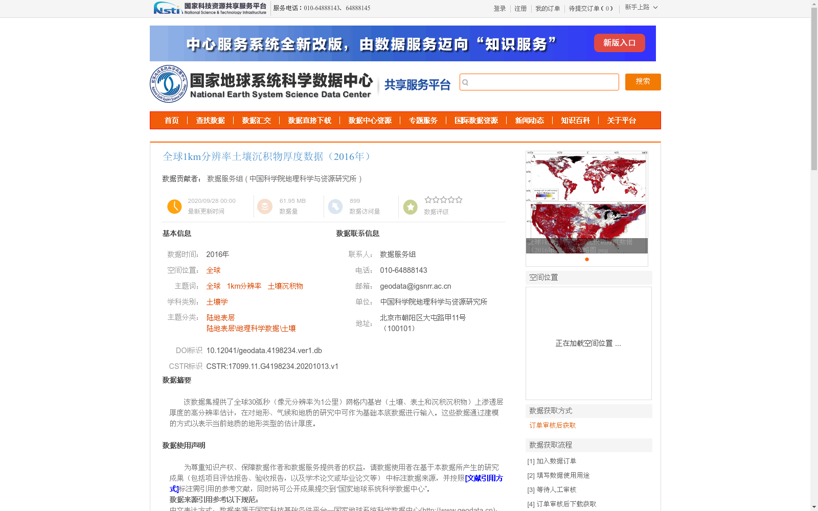
该数据集提供了全球30弧秒(像元分辨率为1公里)网格内基岩(土壤、表土和沉积沉积物)上渗透层厚度的高分辨率估计,在对地形、气候和地质的研究中可作为基础本底数据进行输入。这些数据通过建模的方式以表示当前地质的地形类型的估计厚度。
This dataset provides high-resolution estimates of the thickness of permeable layers over bedrock (soil, topsoil and sediment deposits) within a global 30 arc-second grid with a pixel resolution of 1 km. It can serve as foundational background input data for studies related to topography, climate and geology. These data are developed via modeling to produce estimated thicknesses corresponding to current geologic and topographic types.
提供机构:
中国科学院地理科学与资源研究所
创建时间:
2020-10-13
搜集汇总
数据集介绍
背景与挑战
背景概述
该数据集为2016年全球1km分辨率的土壤沉积物厚度数据,通过建模和实地测量校正生成,适用于地形、气候和地质研究。
以上内容由遇见数据集搜集并总结生成


