中巴经济走廊及天山山脉30m数字高程模型(DEM)(2006-2011)
收藏国家青藏高原科学数据中心2022-06-18 更新2024-03-01 收录
下载链接:
https://data.tpdc.ac.cn/zh-hans/data/b259f8cc-b19b-4e3a-b8d6-f02de151bf3c
下载链接
链接失效反馈官方服务:
资源简介:
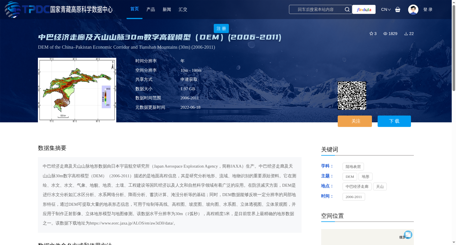
中巴经济走廊及天山山脉地形数据由日本宇宙航空研究所(Japan Aerospace Exploration Agency,简称JAXA)生产。中巴经济走廊及天山山脉30m数字高程模型(DEM)(2006-2011)描述的是地面高程信息,其是研究分析地形、流域、地物识别的重要原始资料。它在测绘、水文、水文、气象、地貌、地质、土壤、工程建设等国民经济以及人文和自然科学领域有着广泛的应用。在防洪减灾方面,DEM是进行水文分析如汇水区分析、水系网络分析、降雨分析、蓄洪计算、淹没分析等的基础;同时,DEM数据能够反映一定分辨率的局部地形特征,通过DEM可提取大量的地表形态信息,可用于绘制等高线、高程图、坡度图、坡向图、水系图、立体透视图、立体景观图,并应用于制作正射影像、立体地形模型与地图修测。该数据水平分辨率为30m(1弧秒),高程精度5米,是目前世界上最精确的地形数据之一。该数据下载地址为https://www.eorc.jaxa.jp/ALOS/en/aw3d30/data/。
The topographic data of the China-Pakistan Economic Corridor and the Tianshan Mountains was produced by the Japan Aerospace Exploration Agency (JAXA for short). The 30m Digital Elevation Model (DEM) of the China-Pakistan Economic Corridor and the Tianshan Mountains (2006-2011) depicts ground elevation information, and it is an important raw material for research and analysis of topography, river basins, and feature recognition. It has been widely used in national economic fields such as surveying and mapping, hydrology, hydrology, meteorology, geomorphology, geology, soil science, engineering construction, as well as humanities and natural science fields. In terms of flood control and disaster mitigation, DEM serves as the foundation for hydrological analyses such as catchment area analysis, river network analysis, rainfall analysis, flood storage calculation, inundation analysis and others. Meanwhile, DEM data can reflect local topographic features at a certain resolution, and a large amount of surface morphology information can be extracted from DEM, which can be used to draw contour lines, elevation maps, slope maps, aspect maps, river system maps, stereoscopic perspective views, and three-dimensional landscape maps, and be applied to the production of orthophotos, three-dimensional terrain models and map revision. This data has a horizontal resolution of 30m (1 arcsecond) and an elevation accuracy of 5 meters, making it one of the most precise topographic data in the world at present. The download link of this data is https://www.eorc.jaxa.jp/ALOS/en/aw3d30/data/.
提供机构:
邱海军
创建时间:
2022-05-07
搜集汇总
数据集介绍
背景与挑战
背景概述
该数据集为中巴经济走廊及天山山脉30米分辨率的数字高程模型(DEM),由日本宇宙航空研究所(JAXA)生产,时间跨度为2006-2011年。数据具有高精度(高程精度5米),适用于地形分析、水文研究、防洪减灾等多个科学和工程领域。
以上内容由遇见数据集搜集并总结生成


