
Shopping Spatial Accessibility in Wuhan, China
收藏DataCite Commons2025-04-27 更新2025-04-16 收录
下载链接:
https://www.scidb.cn/detail?dataSetId=bc8a26d8e8554cf0ab1aa7cd8d41ab59
下载链接
链接失效反馈官方服务:
资源简介:
(1)供给方数据:购物中心面积数据来源于百度地图,通过网络抓取收集,共有 1342 个购物中心面积数据点。购物服务的 POI 数据是使用高德地图 POI 查询工具获取的。行业类别的筛选标准是“购物服务”,子类别包括专卖店、家居和建材市场、购物中心、便利店、购物相关场所、综合市场和专业商业街。(2) 需求方数据:武汉市 2019 年人口分布数据来源于 WorldPop 数据集网站 (https://hub.worldpop.org/),人口调整基于武汉市统计局发布的 2019 年武汉国民经济和社会发展统计公报。网约车轨迹数据来源于公共数据集《2019年10月17日武汉网约车数据》,包含车辆ID、经纬度、速度和方向等字段。根据车辆 ID 和纬度/经度提取人群轨迹数据,用于 GPS 网格化。GPS 数据被映射到网格单元,并计算车辆数量。使用社区作为基本单位,计算每个社区的车辆数量。假设每辆车都有一名乘客到达目的地,则每个格网像元中的车辆数量表示流入该位置的人口。(3) 阈值范围数据:道路数据来自 OpenStreetMap (https://www.openstreetmap.org/),用于提取 OD 矩阵。行政社区边界数据来自国家统计局,并作为研究的统计和分析单位。
(1) Supply-side data: Shopping mall area data was collected via web scraping from Baidu Maps, with a total of 1,342 data points on shopping mall areas. POI data for shopping services was acquired using the Amap POI query tool. The industry category screening criterion is "shopping services", and its subcategories include specialty stores, home furnishing and building materials markets, shopping malls, convenience stores, shopping-related venues, comprehensive markets, and professional commercial streets.
(2) Demand-side data: The 2019 population distribution data of Wuhan was sourced from the WorldPop dataset website (https://hub.worldpop.org/), with population adjustments based on the 2019 Wuhan National Economic and Social Development Statistical Bulletin released by the Wuhan Municipal Bureau of Statistics. The online car-hailing trajectory data was obtained from the public dataset "October 17, 2019 Wuhan Online Car-hailing Data", which contains fields such as vehicle ID, longitude and latitude, speed, and direction. Population trajectory data was extracted based on vehicle ID and latitude/longitude for GPS gridding. GPS data was mapped to grid cells, and the number of vehicles was calculated. Taking communities as the basic unit, the vehicle count for each community was computed. Assuming each vehicle carries one passenger upon arriving at its destination, the number of vehicles in each grid cell represents the population inflow to that location.
(3) Threshold range data: Road data was sourced from OpenStreetMap (https://www.openstreetmap.org/) and used to extract the OD (Origin-Destination) matrix. Administrative community boundary data was obtained from the National Bureau of Statistics and served as the statistical and analytical unit for this study.
提供机构:
Science Data Bank
创建时间:
2025-02-24
搜集汇总
数据集介绍
背景与挑战
背景概述
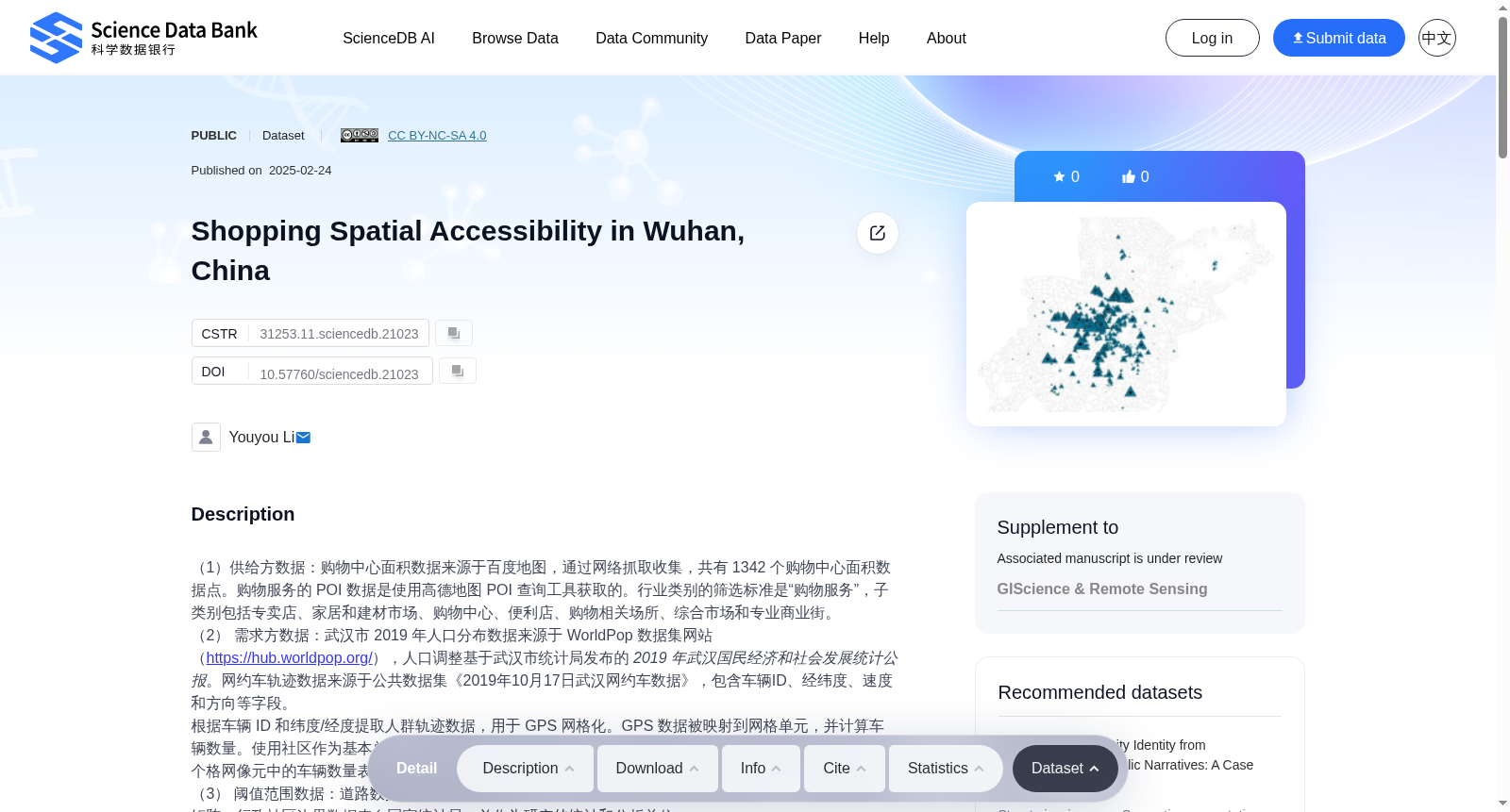
该数据集聚焦于中国武汉市的购物空间可达性研究,包含购物中心面积、POI数据、人口分布和网约车轨迹等多源数据,用于分析购物服务的空间分布和可达性。数据集由多个来源的数据整合而成,覆盖武汉市的行政社区范围,适用于城市规划和商业分析等领域。
以上内容由遇见数据集搜集并总结生成



