祁连山区域基于Landsat 反射率数据的月度30m叶面积指数数据(V1.0,2021)
收藏国家青藏高原科学数据中心2022-06-21 更新2024-03-01 收录
下载链接:
https://data.tpdc.ac.cn/zh-hans/data/f5ee99d1-7726-4755-b70c-2f6cdf2c8c1b
下载链接
链接失效反馈官方服务:
资源简介:
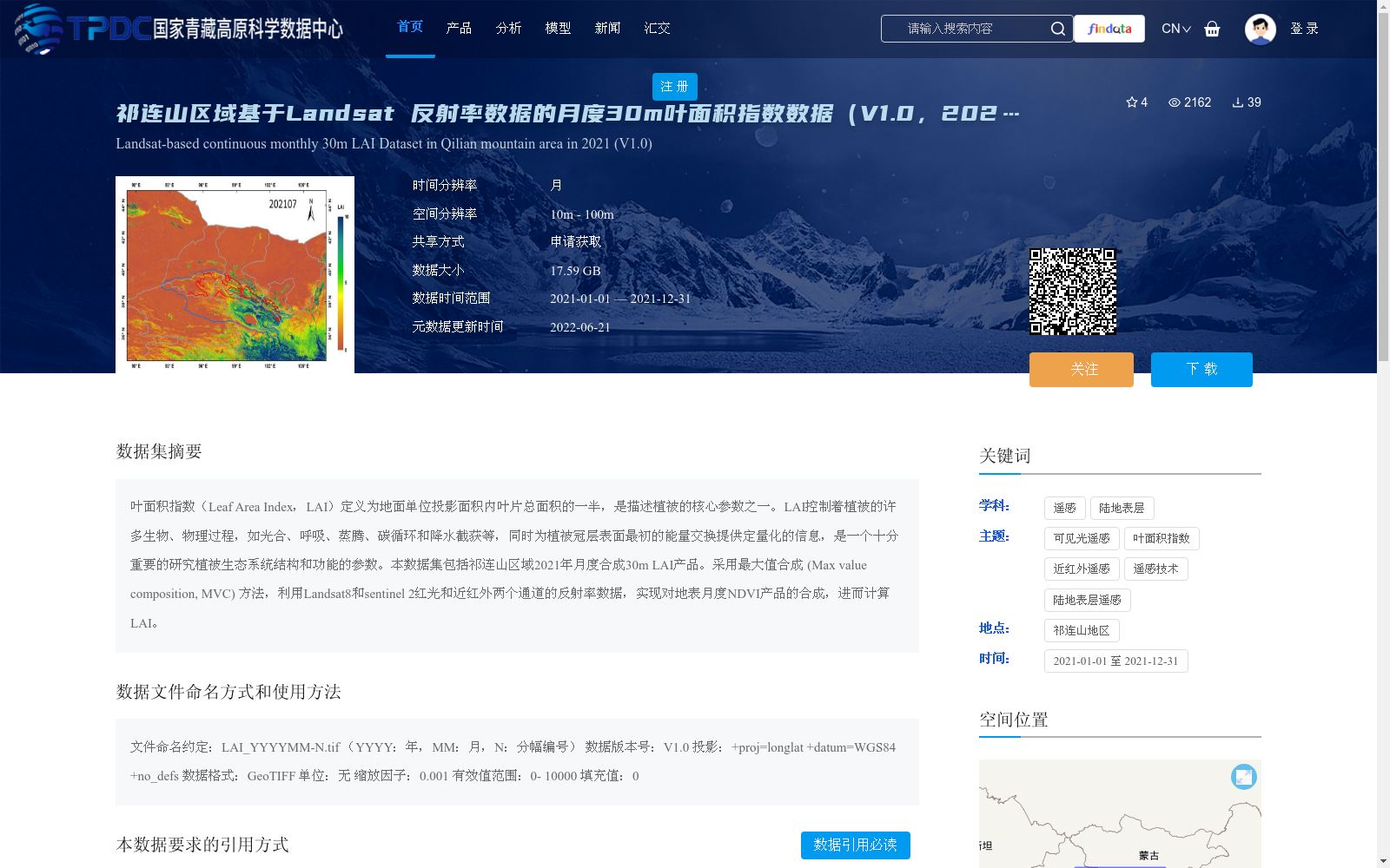
叶面积指数(Leaf Area Index,LAI)定义为地面单位投影面积内叶片总面积的一半,是描述植被的核心参数之一。LAI控制着植被的许多生物、物理过程,如光合、呼吸、蒸腾、碳循环和降水截获等,同时为植被冠层表面最初的能量交换提供定量化的信息,是一个十分重要的研究植被生态系统结构和功能的参数。本数据集包括祁连山区域2021年月度合成30m LAI产品。采用最大值合成 (Max value composition, MVC) 方法,利用Landsat8和sentinel 2红光和近红外两个通道的反射率数据,实现对地表月度NDVI产品的合成,进而计算LAI。
Leaf Area Index (LAI), defined as half of the total leaf area per unit ground projection area, is one of the core parameters for vegetation characterization. LAI governs numerous biological and physical processes of vegetation, including photosynthesis, respiration, transpiration, carbon cycling, precipitation interception, and others, while providing quantitative information for the initial energy exchange at the vegetation canopy surface. It is a critically important parameter for researching the structure and function of vegetation ecosystems. This dataset includes the 30-meter monthly synthesized LAI product for the Qilian Mountains region in 2021. The maximum value composition (MVC) method was employed, using the reflectance data from the red and near-infrared bands of Landsat 8 and Sentinel 2 to synthesize the monthly surface NDVI product, which was then used to calculate LAI.
提供机构:
吴俊君,李艺, 仲波
创建时间:
2022-06-18
搜集汇总
数据集介绍
背景与挑战
背景概述
该数据集是祁连山区域2021年月度合成的30米叶面积指数(LAI)产品,基于Landsat8和Sentinel 2的反射率数据,采用最大值合成方法生成。数据时间范围为2021年全年,空间分辨率为30米,数据大小为17.59 GB,适用于植被生态系统结构和功能研究。
以上内容由遇见数据集搜集并总结生成


