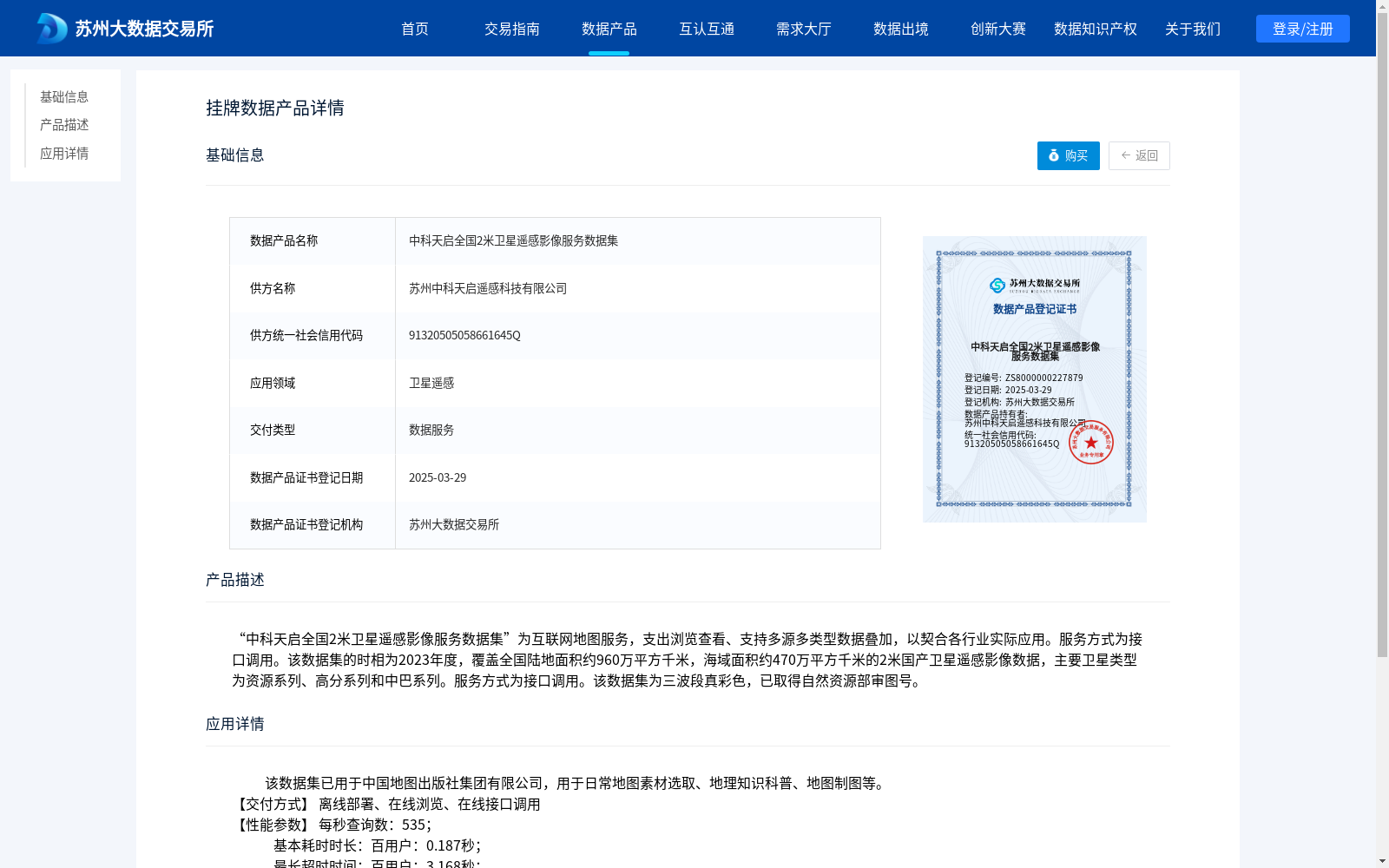
中科天启全国2米卫星遥感影像服务数据集
收藏资源简介:
“中科天启全国2米卫星遥感影像服务数据集”为互联网地图服务,支出浏览查看、支持多源多类型数据叠加,以契合各行业实际应用。服务方式为接口调用。该数据集的时相为2023年度,覆盖全国陆地面积约960万平方千米,海域面积约470万平方千米的2米国产卫星遥感影像数据,主要卫星类型为资源系列、高分系列和中巴系列。服务方式为接口调用。该数据集为三波段真彩色,已取得自然资源部审图号。
Zhongke Tianqi National 2m Satellite Remote Sensing Image Service Dataset is an Internet map service that supports browsing and viewing, as well as overlaying multi-source and multi-type data to meet the practical application needs of various industries. The service is provided via API calls. This dataset contains 2m-resolution domestic satellite remote sensing image data from the 2023 time period, covering approximately 9.6 million square kilometers of China's terrestrial area and about 4.7 million square kilometers of its sea area. The main satellite types include the Ziyuan (Resource) series, Gaofen (High-Resolution) series, and China-Pakistan Earth Resource Satellite (CBERS) series. This dataset is a three-band true-color product, and has obtained the official map review approval number issued by the Ministry of Natural Resources of the People's Republic of China.