青藏高原若尔盖高原典型土地利用类型和典型坡面植物群落调查数据(2019)
收藏国家青藏高原科学数据中心2021-09-06 更新2024-03-01 收录
下载链接:
https://data.tpdc.ac.cn/zh-hans/data/c3ac980a-6ef4-46c4-be23-fe20878ee1c1
下载链接
链接失效反馈官方服务:
资源简介:
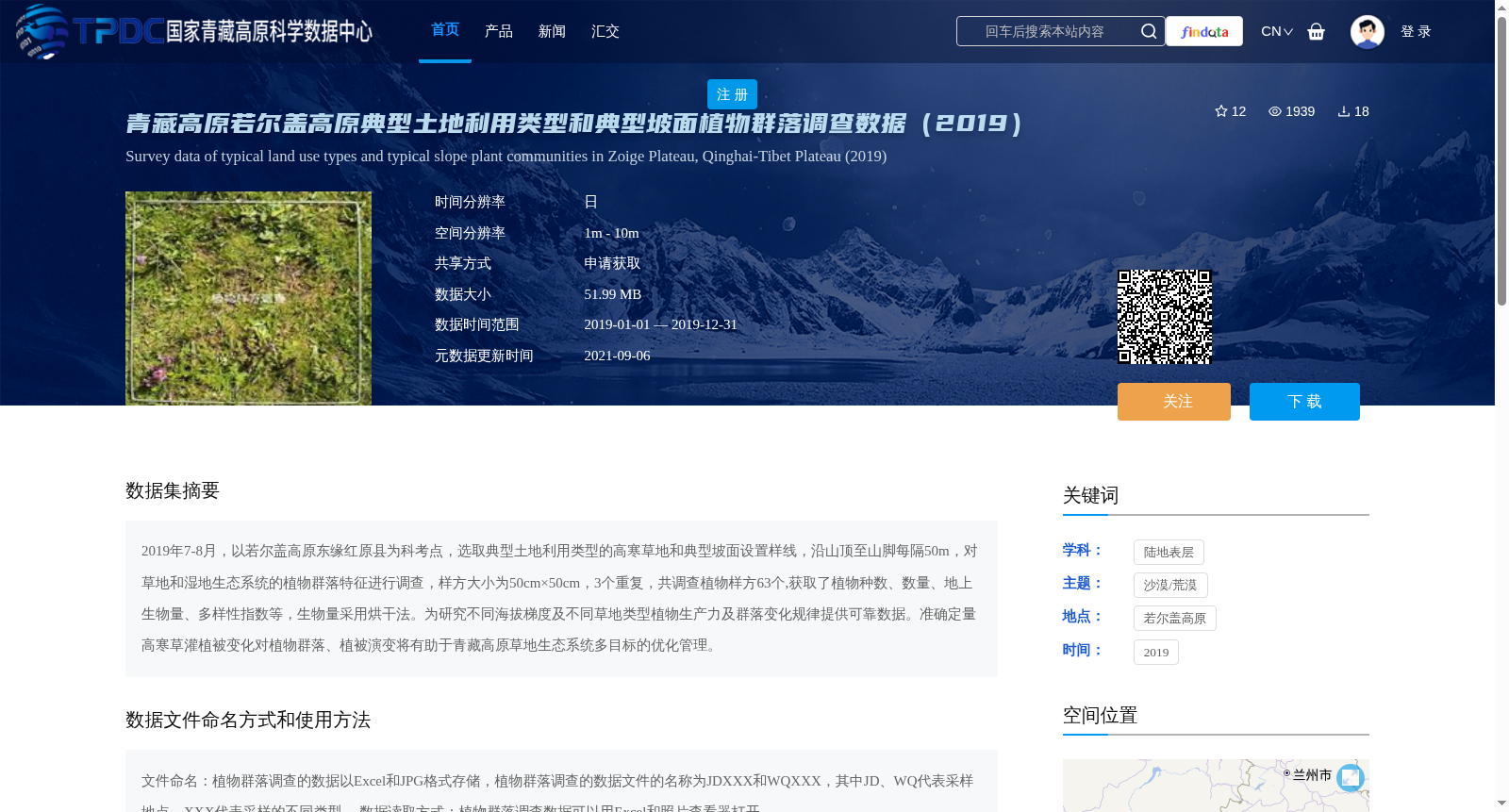
2019年7-8月,以若尔盖高原东缘红原县为科考点,选取典型土地利用类型的高寒草地和典型坡面设置样线,沿山顶至山脚每隔50m,对草地和湿地生态系统的植物群落特征进行调查,样方大小为50cm×50cm,3个重复,共调查植物样方63个,获取了植物种数、数量、地上生物量、多样性指数等,生物量采用烘干法。为研究不同海拔梯度及不同草地类型植物生产力及群落变化规律提供可靠数据。准确定量高寒草灌植被变化对植物群落、植被演变将有助于青藏高原草地生态系统多目标的优化管理。
From July to August 2019, field investigations were carried out in Hongyuan County, located on the eastern edge of the Zoige Plateau. We established sampling transects in typical alpine grasslands with representative land use patterns and typical slope sections. Vegetation community characteristics of grassland and wetland ecosystems were surveyed at 50-meter intervals from the mountain summit to the base, using 50 cm × 50 cm quadrats with three replicates per sampling position. A total of 63 plant quadrats were investigated throughout the survey. Collected metrics include plant species richness, individual abundance, aboveground biomass, and diversity indices, where aboveground biomass was determined using the oven-drying method. This dataset offers reliable data for studying the patterns of plant productivity and community changes along different elevation gradients and among distinct grassland types. Accurate quantification of changes in alpine grass-shrub vegetation, along with investigations into plant community and vegetation evolution, will facilitate multi-objective optimal management of grassland ecosystems on the Qinghai-Tibet Plateau.
提供机构:
胡健
创建时间:
2021-04-27
搜集汇总
数据集介绍
背景与挑战
背景概述
该数据集包含2019年青藏高原若尔盖高原东缘红原县的高寒草地和湿地生态系统的植物群落调查数据,涉及63个植物样方,记录了植物种数、数量、地上生物量及多样性指数等信息,数据以Excel和JPG格式存储,旨在为研究不同海拔梯度及草地类型的植物生产力及群落变化提供支持。
以上内容由遇见数据集搜集并总结生成


