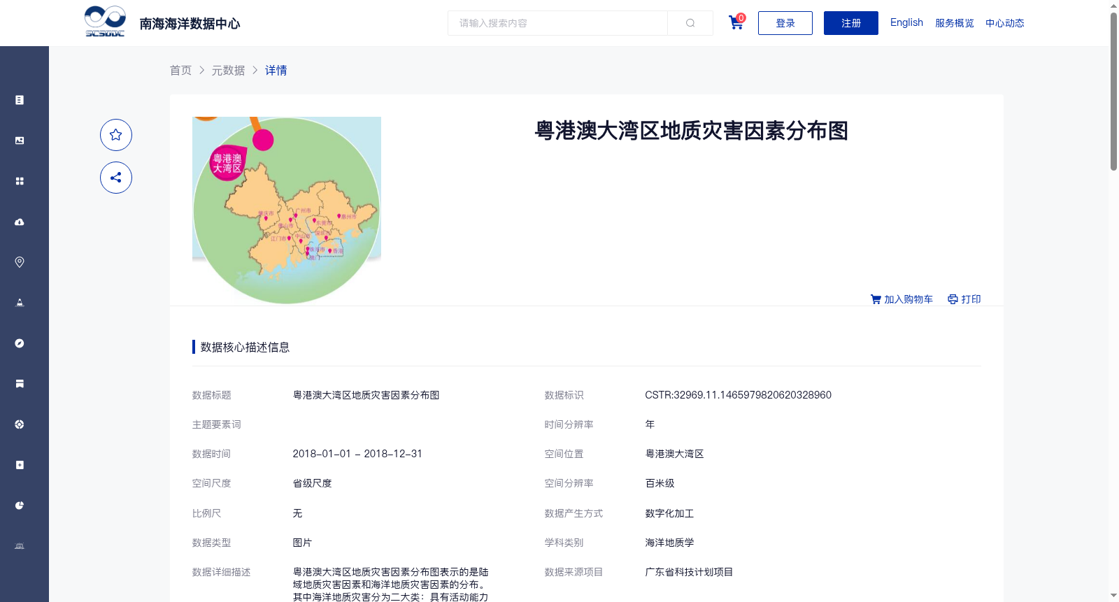
粤港澳大湾区地质灾害因素分布图
收藏南海海洋数据中心2024-03-01 收录
下载链接:
https://data.scsio.ac.cn/metaData-detail/1465979820620328960
下载链接
链接失效反馈官方服务:
资源简介:
粤港澳大湾区地质灾害因素分布图表示的是陆域地质灾害因素和海洋地质灾害因素的分布。其中海洋地质灾害分为二大类:具有活动能力的破坏性地质灾害和不具活动能力的限制性地质条件。具有活动能力的破坏性地质灾害包括:断层、地震、浅层气、活动沙波、滑坡、陡坎、底辟;不具活动能力的限制性地质条件包括:埋藏古河道、不规则埋藏基岩、凹凸地、浅滩、峡谷、非移动沙波、沙丘等。陆域地质灾害因素类型主要有地面沉降、突发性地质灾害(崩塌、滑坡和泥石流)、断裂与地震、海岸侵蚀与淤积,图上标示的地质灾害主要是威胁100人以上的崩塌、滑坡和泥石流等灾害。
The Geological Hazard Factor Distribution Map of the Guangdong-Hong Kong-Macao Greater Bay Area depicts the distribution of terrestrial and marine geological hazard factors. Marine geological hazards are divided into two categories: active destructive geological hazards and non-active restrictive geological conditions. Active destructive geological hazards include faults, earthquakes, shallow gas, active sand waves, landslides, scarps and diapirs; non-active restrictive geological conditions include buried paleochannels, irregular buried bedrock, uneven terrain, shoals, canyons, non-migrating sand waves, dunes and other features. The main types of terrestrial geological hazard factors include land subsidence, sudden geological hazards (collapse, landslides and debris flows), faults and earthquakes, as well as coastal erosion and accretion. The geological hazards marked on this map mainly refer to disasters such as collapses, landslides and debris flows that pose a threat to more than 100 people.
提供机构:
广州海洋地质调查局
搜集汇总
数据集介绍
背景与挑战
背景概述
该数据集为2018年粤港澳大湾区地质灾害因素分布图,涵盖陆域和海洋两大类地质灾害,包括活动性破坏和非活动性限制性地质条件,数据质量可靠,适用于海洋地质学研究。
以上内容由遇见数据集搜集并总结生成


