喜马拉雅山区1:250万地质构造(2001)
收藏国家青藏高原科学数据中心2023-03-13 更新2024-03-01 收录
下载链接:
https://data.tpdc.ac.cn/zh-hans/data/447edf72-4eeb-435a-acb1-104490b2c773
下载链接
链接失效反馈官方服务:
资源简介:
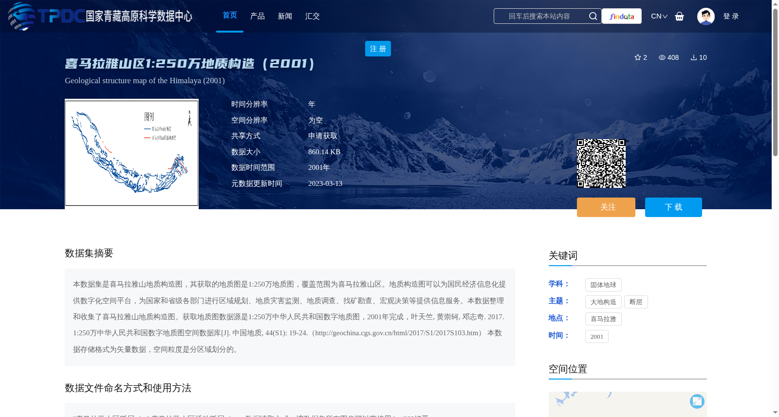
本数据集是喜马拉雅山地质构造图,其获取的地质图是1:250万地质图,覆盖范围为喜马拉雅山区。地质构造图可以为国民经济信息化提供数字化空间平台,为国家和省级各部门进行区域规划、地质灾害监测、地质调查、找矿勘查、宏观决策等提供信息服务。本数据整理和收集了喜马拉雅山地质构造图。获取地质图数据源是1:250万中华人民共和国数字地质图,2001年完成,叶天竺, 黄崇轲, 邓志奇. 2017. 1:250万中华人民共和国数字地质图空间数据库[J]. 中国地质, 44(S1): 19-24.(http://geochina.cgs.gov.cn/html/2017/S1/2017S103.htm) 本数据存储格式为矢量数据,空间粒度是分区域划分的。
This dataset is a geological tectonic map of the Himalayas. The acquired geological map is a 1:2,500,000-scale geological map covering the Himalayan region.
This geological tectonic map can provide a digital spatial platform for the informatization of the national economy, and offer information services for national and provincial departments to carry out regional planning, geological disaster monitoring, geological surveys, mineral prospecting, macro-level decision-making and other related work.
This dataset compiles and collects the geological tectonic map of the Himalayas. The data source of the geological map is the 1:2,500,000-scale digital geological map of the People's Republic of China, which was completed in 2001. The relevant reference is: Ye, T., Huang, C., Deng, Z. 2017. Spatial Database of the 1:2,500,000-scale Digital Geological Map of the People's Republic of China[J]. Geology in China, 44(S1): 19-24. (http://geochina.cgs.gov.cn/html/2017/S1/2017S103.htm)
The storage format of this dataset is vector data, and its spatial granularity is divided by regions.
提供机构:
朱亚茹
创建时间:
2023-02-23
搜集汇总
数据集介绍
背景与挑战
背景概述
该数据集是2001年完成的喜马拉雅山区1:250万比例尺地质构造图,以矢量格式存储,空间粒度分区域划分,主要用于区域规划、地质灾害监测和地质调查等。数据来源于'1:250万中华人民共和国数字地质图',需通过申请获取,并作为第二次青藏高原综合科学考察研究的一部分。
以上内容由遇见数据集搜集并总结生成


