黄河流域10米土地利用栅格数据集(2021-2022年)
收藏国家地球系统科学数据中心2023-12-26 更新2024-04-21 收录
下载链接:
https://www.geodata.cn/data/datadetails.html?dataguid=138042583833165&docId=4239
下载链接
链接失效反馈官方服务:
资源简介:
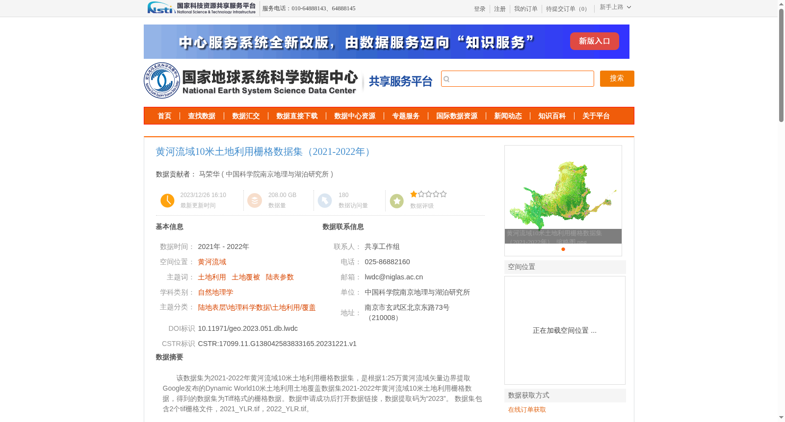
该数据集为2021-2022年黄河流域10米土地利用栅格数据集,是根据1:25万黄河流域矢量边界提取Google发布的Dynamic World10米土地利用土地覆盖数据集2021-2022年黄河流域10米土地利用栅格数据,得到的数据集为Tiff格式的栅格数据。数据申请成功后打开数据链接,数据提取码为“2023”。
数据集包含2个tif栅格文件,2021_YLR.tif,2022_YLR.tif。
This dataset is the 10-meter land use raster dataset of the Yellow River Basin for the period 2021-2022. It is generated by extracting the 2021-2022 10-meter land use/land cover raster data of the Yellow River Basin from Google's publicly released Dynamic World 10m Land Use/Land Cover Dataset, with the 1:250000 vector boundary of the Yellow River Basin as the extraction boundary. The resulting dataset is raster data stored in TIFF format. After successfully applying for the dataset, open the provided data link, and the data access code is "2023". This dataset contains two TIFF raster files: 2021_YLR.tif and 2022_YLR.tif.
提供机构:
中国科学院南京地理与湖泊研究所
创建时间:
2023-12-21
搜集汇总
数据集介绍
背景与挑战
背景概述
该数据集提供了2021-2022年黄河流域10米分辨率的土地利用栅格数据,基于Google的Dynamic World数据集裁剪生成,包含两个Tiff格式文件(2021_YLR.tif和2022_YLR.tif),适用于自然地理学和土地利用研究。数据采用WGS84坐标系,质量与源数据集一致,需通过在线订单获取。
以上内容由遇见数据集搜集并总结生成


