OpenTrench3D
收藏资源简介:
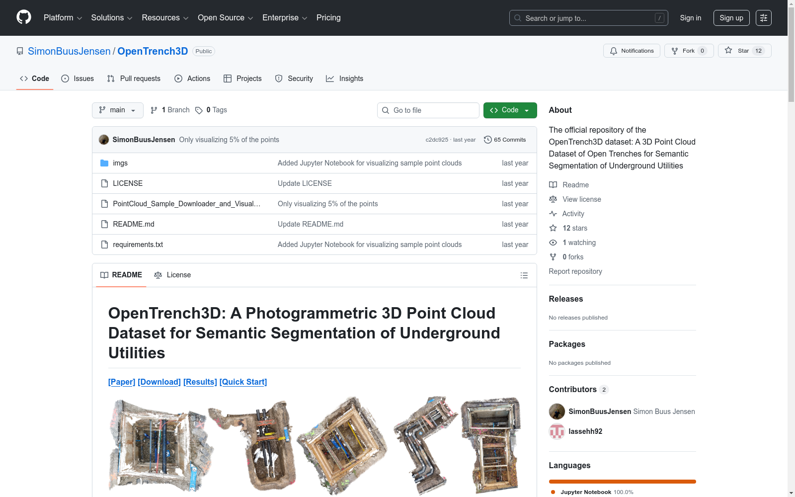
OpenTrench3D是由奥尔堡大学创建的第一个公开的3D点云数据集,专注于地下设施的语义分割。该数据集包含310个点云,总计约5.28亿个点,分布在5个类别中,采用以设施所有者为中心的分类方案。数据集来源于智能手机视频记录,通过摄影测量技术重建,使得数据采集既便捷又经济。OpenTrench3D主要用于研究地下设施的检测、记录以及转移学习方法,旨在提高城市规划和基础设施维护的效率和效果。
OpenTrench3D is the first publicly available 3D point cloud dataset developed by Aalborg University, focusing on semantic segmentation of underground utilities. This dataset contains 310 point clouds, totaling approximately 528 million points across 5 categories, and adopts a facility owner-centric classification schema. The dataset is sourced from smartphone video recordings and reconstructed via photogrammetric techniques, enabling convenient and cost-effective data collection. OpenTrench3D is primarily used for research on underground facility detection, documentation and transfer learning methods, with the goal of improving the efficiency and effectiveness of urban planning and infrastructure maintenance.