广东省500米分辨率归一化植被指数(NDVI)(2015-2019年)
收藏国家地球系统科学数据中心2021-09-06 更新2024-03-04 收录
下载链接:
https://www.geodata.cn/data/datadetails.html?dataguid=201742033635236&docId=10806
下载链接
链接失效反馈官方服务:
资源简介:
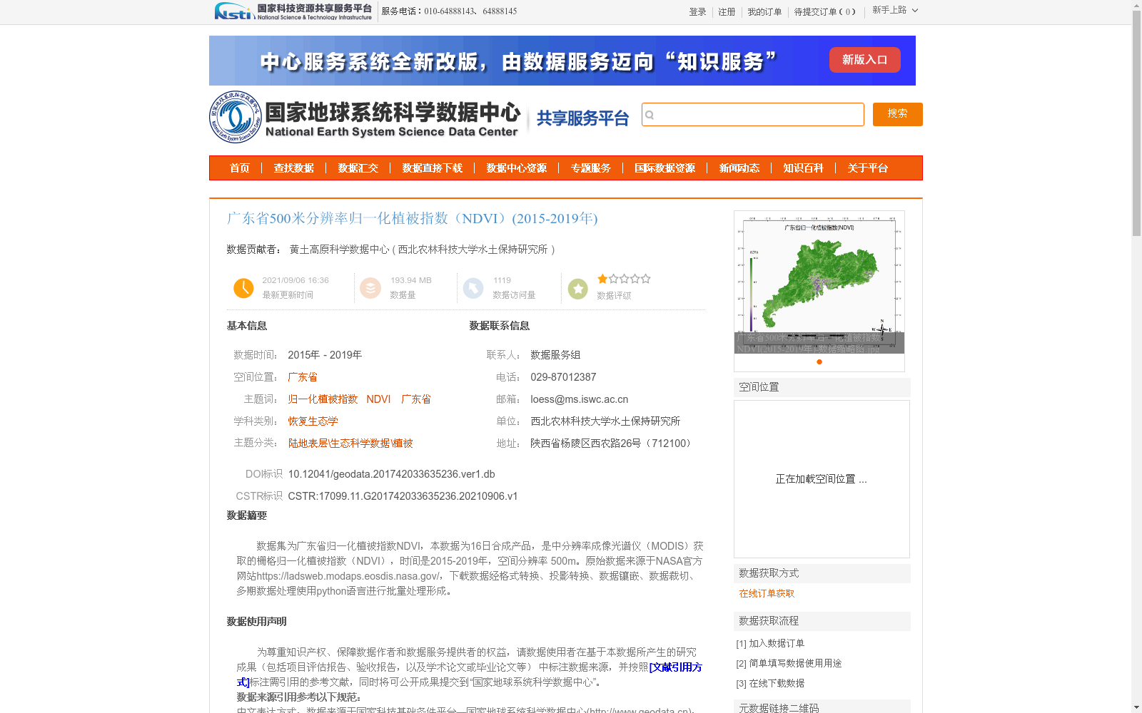
数据集为广东省归一化植被指数NDVI,本数据为16日合成产品,是中分辨率成像光谱仪(MODIS)获取的栅格归一化植被指数(NDVI),时间是2015-2019年,空间分辨率 500m。原始数据来源于NASA官方网站https://ladsweb.modaps.eosdis.nasa.gov/,下载数据经格式转换、投影转换、数据镶嵌、数据裁切、多期数据处理使用python语言进行批量处理形成。
This dataset is the Normalized Difference Vegetation Index (NDVI) for Guangdong Province. It is a 16-day composite raster NDVI product acquired by the Moderate Resolution Imaging Spectroradiometer (MODIS), with a temporal coverage from 2015 to 2019 and a spatial resolution of 500 m. The raw data was sourced from the official NASA website at https://ladsweb.modaps.eosdis.nasa.gov/. The downloaded raw data was subjected to batch processing using Python, including format conversion, projection transformation, data mosaicking, data clipping, and multi-temporal data processing, to generate the final dataset.
提供机构:
西北农林科技大学水土保持研究所
创建时间:
2021-09-06
搜集汇总
数据集介绍
背景与挑战
背景概述
该数据集提供了2015-2019年广东省500米分辨率的归一化植被指数(NDVI)数据,来源于NASA的MODIS传感器,经过多步骤处理形成16日合成产品,适用于植被覆盖和生态研究。
以上内容由遇见数据集搜集并总结生成


