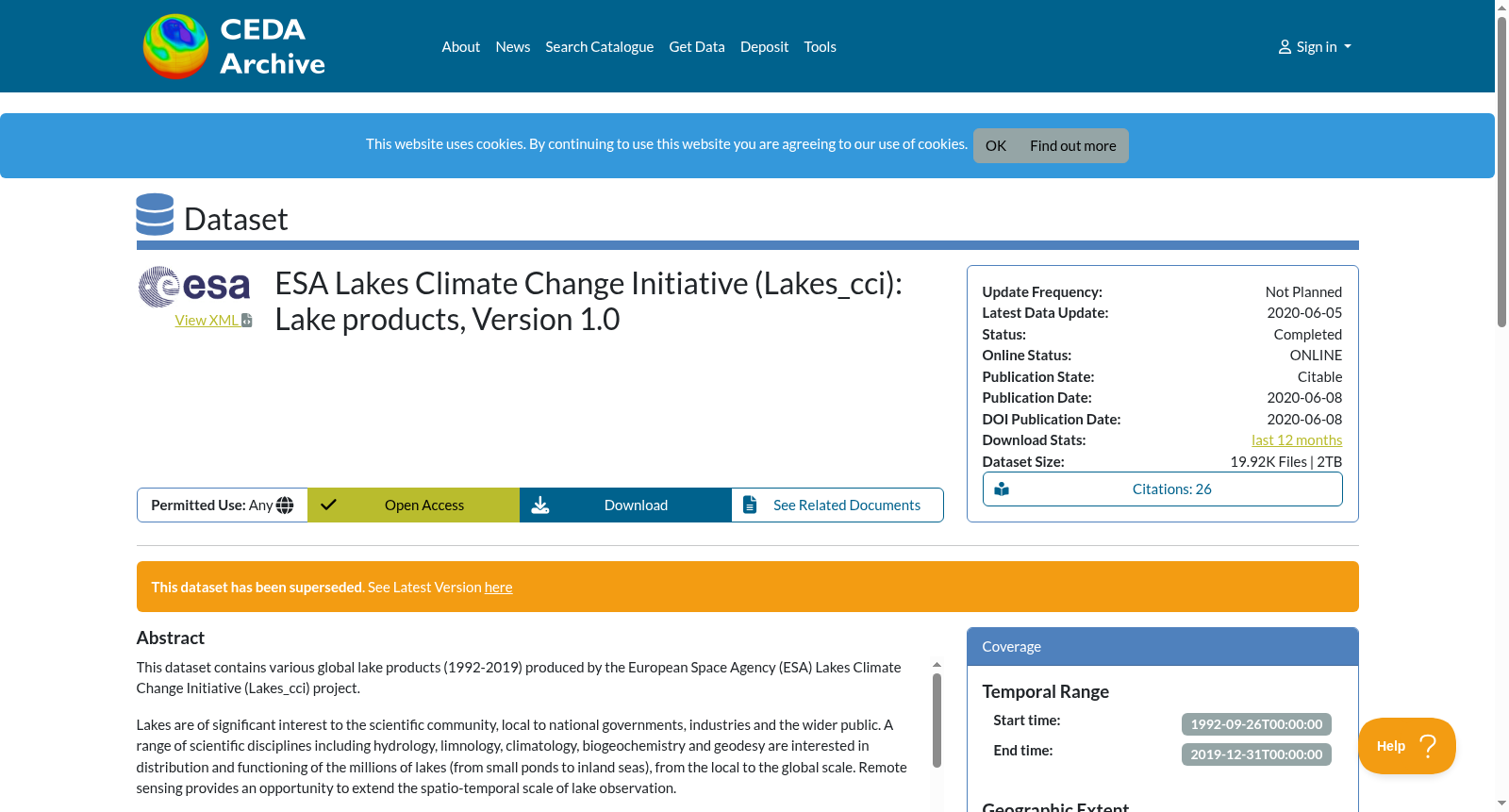
ESA Lakes Climate Change Initiative (Lakes_cci): Lake products, Version 1.0
收藏Mendeley Data2024-01-31 更新2024-06-29 收录
下载链接:
https://catalogue.ceda.ac.uk/uuid/3c324bb4ee394d0d876fe2e1db217378
下载链接
链接失效反馈官方服务:
资源简介:
This dataset contains various global lake products (1992-2019) produced by the European Space Agency (ESA) Lakes Climate Change Initiative (Lakes_cci) project. Lakes are of significant interest to the scientific community, local to national governments, industries and the wider public. A range of scientific disciplines including hydrology, limnology, climatology, biogeochemistry and geodesy are interested in distribution and functioning of the millions of lakes (from small ponds to inland seas), from the local to the global scale. Remote sensing provides an opportunity to extend the spatio-temporal scale of lake observation. The five thematic climate variables included in this dataset are: • Lake Water Level (LWL): a proxy fundamental to understand the balance between water inputs and water loss and their connection with regional and global climate changes. • Lake Water Extent (LWE): a proxy for change in glacial regions (lake expansion) and drought in many arid environments, water extent relates to local climate for the cooling effect that water bodies provide. • Lake Surface Water temperature (LSWT): correlated with regional air temperatures and a proxy for mixing regimes, driving biogeochemical cycling and seasonality. • Lake Ice Cover (LIC): freeze-up in autumn and advancing break-up in spring are proxies for gradually changing climate patterns and seasonality. • Lake Water-Leaving Reflectance (LWLR): a direct indicator of biogeochemical processes and habitats in the visible part of the water column (e.g. seasonal phytoplankton biomass fluctuations), and an indicator of the frequency of extreme events (peak terrestrial run-off, changing mixing conditions). Data generated in the Lakes_cci project are derived from data from multiple instruments and multiple satellites including; TOPEX/Poseidon, Jason, ENVISAT, SARAL, Sentinel, Landsat, ERS, Terra/Aqua, Suomi NPP, Metop and Orbview. For more information please see the product user guide in the documents.
本数据集包含欧洲空间局(European Space Agency,ESA)湖泊气候变化倡议(Lakes Climate Change Initiative,Lakes_cci)项目生成的1992—2019年全球各类湖泊数据集。
湖泊对于科学界、地方乃至国家各级政府、产业界以及广大公众均具有重要研究与应用价值。包括水文学、湖沼学、气候学、生物地球化学与大地测量学在内的诸多学科领域,均关注从局地到全球尺度下数百万个湖泊(从小型池塘到内陆海)的分布与运行机制。遥感技术为拓展湖泊观测的时空尺度提供了可能。
本数据集涵盖五大主题气候变量,具体如下:
• 湖泊水位(Lake Water Level,LWL):作为理解水体收支平衡及其与区域、全球气候变化关联的基础替代指标。
• 湖泊水域范围(Lake Water Extent,LWE):可用于指示冰川区变化(湖泊扩张)以及多数干旱环境中的干旱状况;水域范围与局地气候密切相关,因水体可产生降温效应。
• 湖泊表层水温(Lake Surface Water Temperature,LSWT):与区域气温存在相关性,可作为水体混合状态的替代指标,驱动生物地球化学循环与季节节律变化。
• 湖泊冰覆盖(Lake Ice Cover,LIC):秋季封冻与春季解冻提前均是气候模式与季节节律逐渐改变的替代指标。
• 离水反射率(Lake Water-Leaving Reflectance,LWLR):直接指示水柱可见光波段内的生物地球化学过程与生境状况(例如季节性浮游植物生物量波动),同时可作为极端事件(陆地径流峰值、混合条件变化)发生频率的指示指标。
Lakes_cci项目生成的数据源自多仪器、多卫星平台,包括TOPEX/Poseidon、Jason、ENVISAT、SARAL、Sentinel、Landsat、ERS、Terra/Aqua、Suomi NPP、Metop以及Orbview。
更多详细信息请参阅文档中的产品用户指南。
创建时间:
2024-01-31
搜集汇总
数据集介绍
背景与挑战
背景概述
该数据集是ESA Lakes_cci项目发布的全球湖泊产品(版本1.0),包含1992-2019年间五个关键湖泊气候变量:水位、水域面积、表面水温、冰盖和水体反射率。数据来自多卫星传感器,格式为NetCDF,总规模2TB,现已被版本1.1替代。
以上内容由遇见数据集搜集并总结生成


