
Compound Topographic Index Focal Mean 500m-radius Window
收藏Mendeley Data2024-01-31 更新2024-06-27 收录
下载链接:
https://datadryad.org/resource/doi:10.5061/dryad.d7d7b2t/3
下载链接
链接失效反馈官方服务:
资源简介:
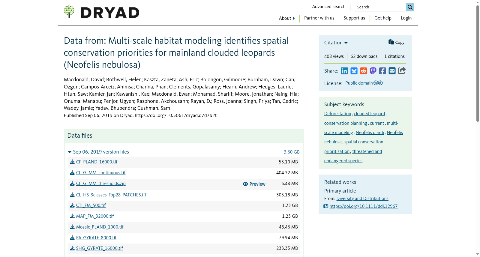
This GIS raster was derived from Jarvis, Reuter, Nelson, & Guevara's (2008) digital elevation model (http://srtm.csi.cgiar.org) using the Geomorphometry & Gradient Metrics Toolbox (Evans, Oakleaf, Cushman, & Theobald, 2014) in ArcGIS 10.2.2 (ESRI, Redlands, CA, USA, 2011). Compound topographic index (CTI) characterizes flow accumulation. Low elevation drainages incur high CTI, whereas mountaintops and ridgelines exhibit low CTI. We then used neighborhood statistics in ArcGIS to calculate the focal mean within a 500m-radius moving window. We re-sampled the native 90m resolution DEM to 250m. Coordinate system: Asia South Albers Equal Area Conic.
创建时间:
2024-01-31
搜集汇总
数据集介绍
背景与挑战
背景概述
该数据集是一个GIS栅格图层,基于数字高程模型计算复合地形指数(CTI),用于表征水流积累,其中低海拔排水区CTI值高,山顶和山脊线CTI值低。数据通过500米半径移动窗口计算焦点均值,从原始90米分辨率重采样到250米,坐标系为Asia South Albers Equal Area Conic,是大陆云豹多尺度栖息地建模研究的一部分。
以上内容由遇见数据集搜集并总结生成



