青藏高原Landsat系列卫星地表反射率产品(2020)
收藏国家青藏高原科学数据中心2023-07-12 更新2024-03-06 收录
下载链接:
https://data.tpdc.ac.cn/zh-hans/data/1b7ff98c-2da5-4c85-bab1-658bcddcb252
下载链接
链接失效反馈官方服务:
资源简介:
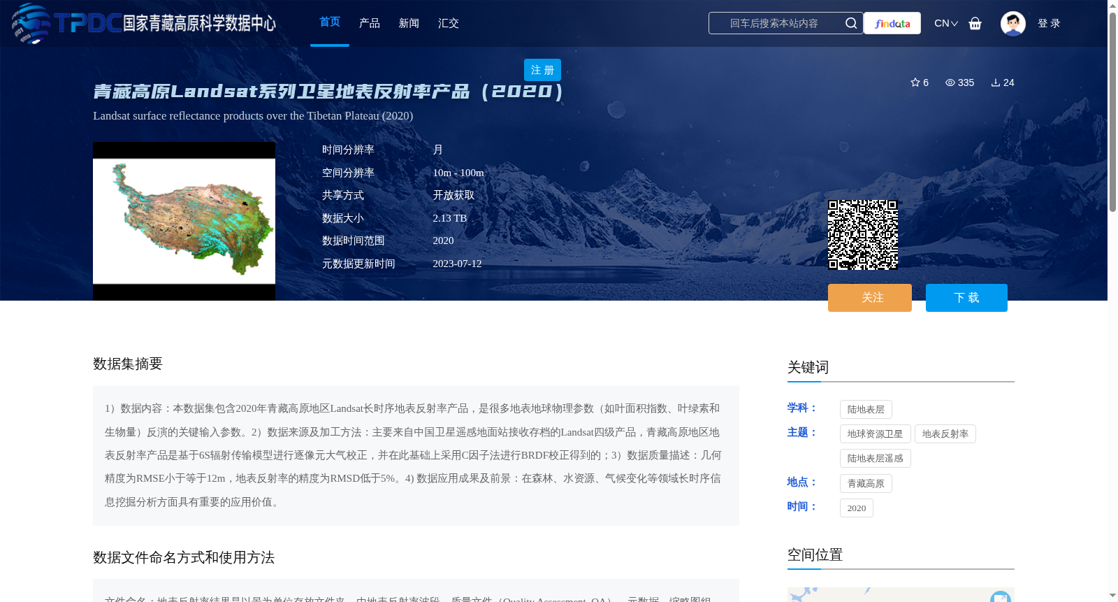
1)数据内容:本数据集包含2020年青藏高原地区Landsat长时序地表反射率产品,是很多地表地球物理参数(如叶面积指数、叶绿素和生物量)反演的关键输入参数。2)数据来源及加工方法:主要来自中国卫星遥感地面站接收存档的Landsat四级产品,青藏高原地区地表反射率产品是基于6S辐射传输模型进行逐像元大气校正,并在此基础上采用C因子法进行BRDF校正得到的;3)数据质量描述:几何精度为RMSE小于等于12m,地表反射率的精度为RMSD低于5%。4) 数据应用成果及前景:在森林、水资源、气候变化等领域长时序信息挖掘分析方面具有重要的应用价值。
1) Data Content: This dataset contains long-time series Landsat surface reflectance products over the Qinghai-Tibet Plateau in 2020, which serve as critical input parameters for the inversion of numerous surface geophysical parameters such as leaf area index, chlorophyll content, and biomass.
2) Data Source and Processing Method: The data is primarily derived from archived Landsat Level-4 products received by the China Satellite Remote Sensing Ground Station. The surface reflectance products over the Qinghai-Tibet Plateau were generated via pixel-wise atmospheric correction using the 6S radiative transfer model, followed by BRDF correction with the C-factor method based on the corrected results.
3) Data Quality Description: The geometric accuracy has a RMSE ≤ 12 m, while the surface reflectance accuracy has an RMSD below 5%.
4) Data Application Achievements and Prospects: It holds significant application value in the excavation and analysis of long-time series information in fields such as forestry, water resources, and climate change.
提供机构:
彭燕
创建时间:
2022-12-20
搜集汇总
数据集介绍
背景与挑战
背景概述
该数据集为2020年青藏高原地区Landsat系列卫星地表反射率产品,经过大气和BRDF校正,几何精度高(RMSE≤12m),反射率精度高(RMSD<5%),适用于森林、水资源、气候变化等领域的长时序分析。
以上内容由遇见数据集搜集并总结生成


