A dataset of 1km Grid Land Development Intensity in China(2020)
收藏DataCite Commons2025-04-27 更新2025-04-16 收录
下载链接:
https://www.scidb.cn/detail?dataSetId=e7abc659d5c14b5388f8b70fd7821d84
下载链接
链接失效反馈官方服务:
资源简介:
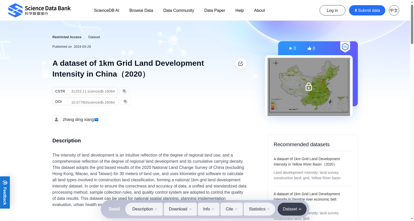
The intensity of land development is an intuitive reflection of the degree of regional land use, and a comprehensive reflection of the degree of regional land development and its cumulative carrying density. This dataset adopts the grid based results of the 2020 National Land Change Survey of China (excluding Hong Kong, Macao, and Taiwan) for 30 meters of land use, and uses kilometer grid software to calculate all land types involved in construction land classification, forming a national 1km grid land development intensity dataset. In order to ensure the correctness and accuracy of data, a unified and standardized data processing method, sample collection rules, and quality control system are adopted to control the quality of data results. This dataset can be used for national spatial planning, planning implementation evaluation, urban health examination, and policy implementation evaluation of main functional areas.
提供机构:
Science Data Bank
创建时间:
2024-03-28
搜集汇总
数据集介绍
背景与挑战
背景概述
该数据集基于2020年全国土地变更调查的30米土地利用网格数据,通过公里网格软件计算建设用地的所有土地类型,生成了全国1公里网格土地开发强度数据,反映了区域土地利用程度和累积承载密度。数据集采用统一标准化处理方法和质量控制体系,确保数据正确性和准确性,适用于国家空间规划、规划实施评估、城市健康检查及主体功能区政策实施评估等领域。
以上内容由遇见数据集搜集并总结生成


