渤海湾地形数据(2015年)
收藏国家地球系统科学数据中心2023-05-06 更新2024-03-04 收录
下载链接:
https://www.geodata.cn/data/datadetails.html?dataguid=19126049428450&docId=5591
下载链接
链接失效反馈官方服务:
资源简介:
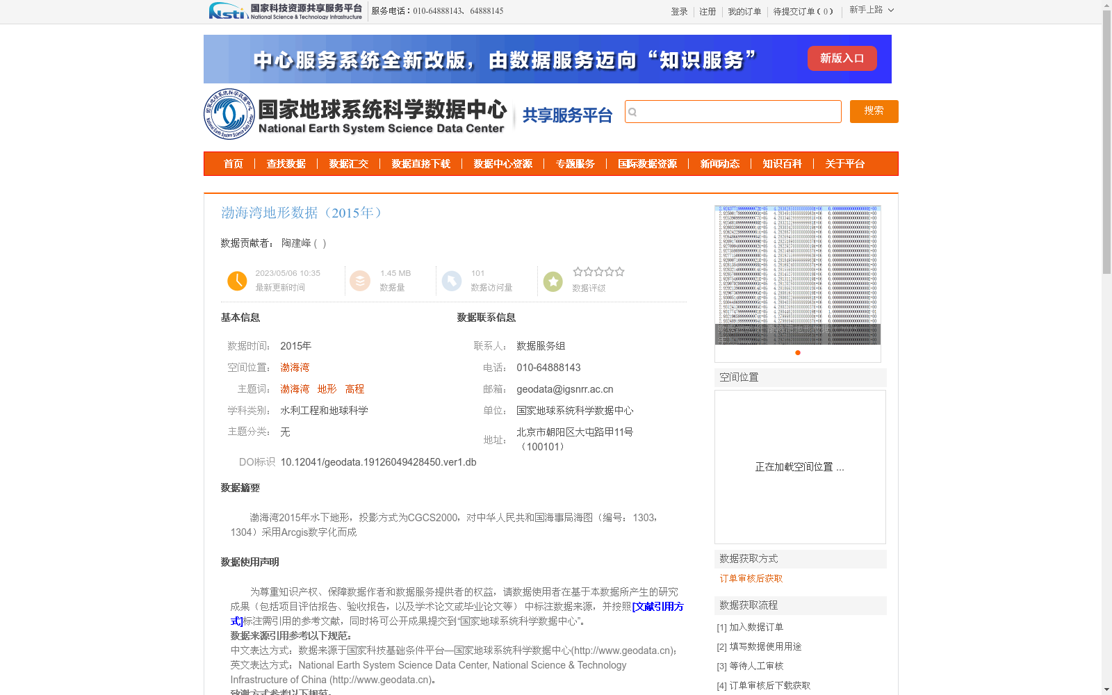
渤海湾2015年水下地形,投影方式为CGCS2000,对中华人民共和国海事局海图(编号:1303,1304)采用Arcgis数字化而成
Bathymetric topography dataset of the Bohai Bay in 2015, with the projection system of CGCS2000. It was digitized using ArcGIS based on the nautical charts (Numbers: 1303, 1304) issued by the Maritime Safety Administration of the People's Republic of China.
创建时间:
2023-05-06
搜集汇总
数据集介绍
以上内容由遇见数据集搜集并总结生成


