1990-2010年南美洲秘鲁森林资源分布变化图
收藏国家林业和草原科学数据中心2014-06-15 更新2024-03-06 收录
下载链接:
https://www.forestdata.cn/dataDetail.html?id=CSTR:17575.11.0120020909099.000022.V1
下载链接
链接失效反馈官方服务:
资源简介:
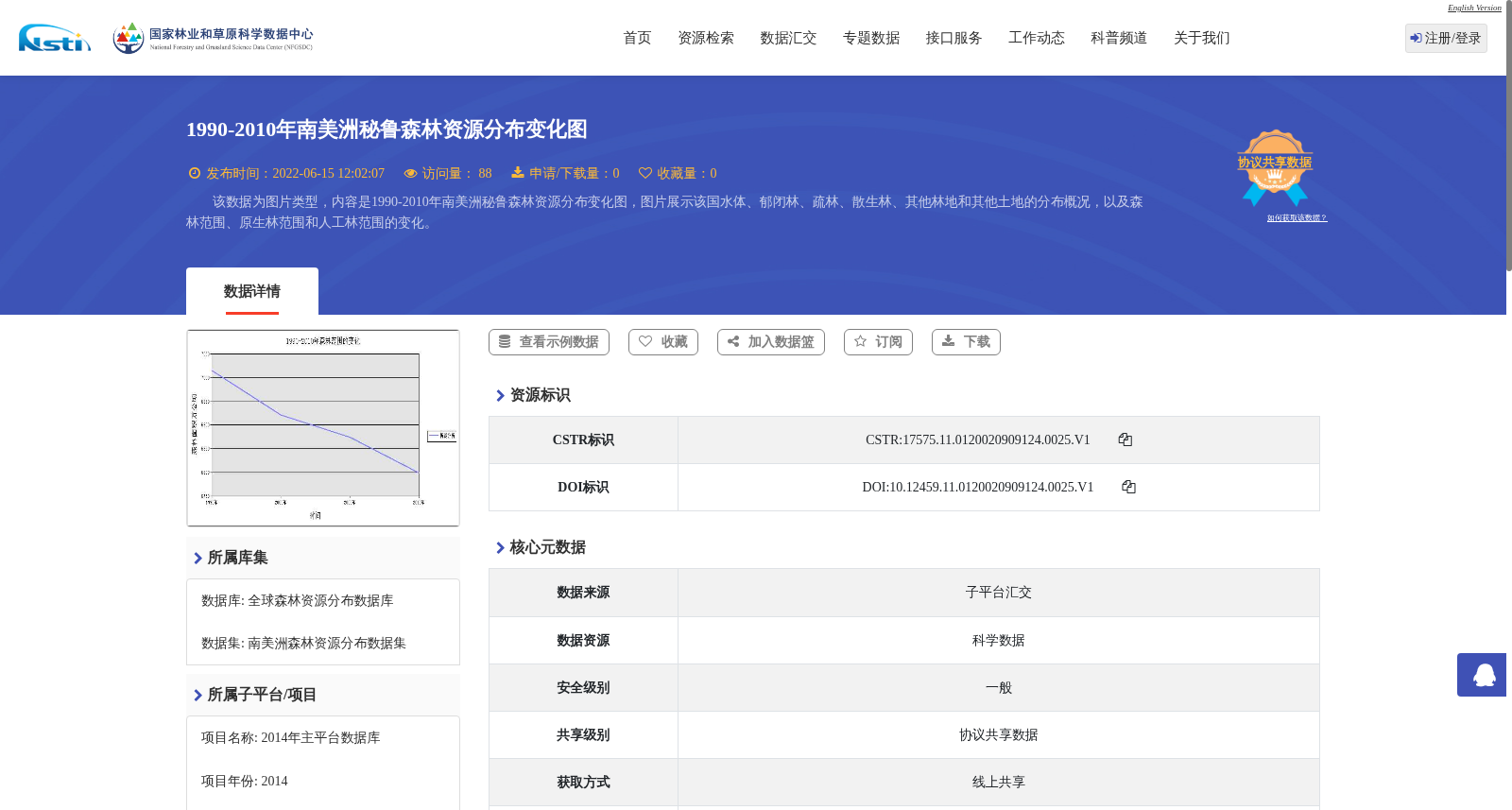
该数据为图片类型,内容是1990-2010年南美洲秘鲁森林资源分布变化图,图片展示该国水体、郁闭林、疏林、散生林、其他林地和其他土地的分布概况,以及森林范围、原生林范围和人工林范围的变化。
This dataset is an image containing a map illustrating the changes in forest resource distribution in Peru, South America, from 1990 to 2010. The map displays the general distribution of water bodies, closed forests, open forests, scattered forests, other woodlands, and other land types in Peru, as well as the variations in the extents of total forests, primary (native) forests, and plantation forests.
提供机构:
国家林业和草原科学数据中心
创建时间:
2014-06-15
搜集汇总
数据集介绍
背景与挑战
背景概述
该数据集是一张1990-2010年南美洲秘鲁森林资源分布变化图,以图片形式展示该国水体、郁闭林、疏林等土地类型的分布概况,以及森林、原生林和人工林范围的变化情况。数据来源于国家林业和草原科学数据中心,属于全球森林资源分布数据库,具有高清晰度和分辨率,适用于植物学相关研究。
以上内容由遇见数据集搜集并总结生成


