中国区域250米植被覆盖度数据集(2000-2024)
收藏国家青藏高原科学数据中心2025-07-24 更新2024-03-06 收录
下载链接:
https://data.tpdc.ac.cn/zh-hans/data/f3bae344-9d4b-4df6-82a0-81499c0f90f7
下载链接
链接失效反馈官方服务:
资源简介:
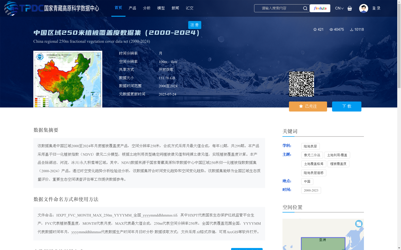
该数据集是中国区域2000至2024年月度植被覆盖度产品,空间分辨率250米,合成方式采用月最大值合成,每年12期,共299期。本产品采用基于归一化植被指数(NDVI)像元二分模型,根据土地利用类型确定纯植被像元值和纯裸土像元值,实现植被覆盖度计算。本产品去除湖泊、河流、冰川/永久积雪等区域。其中,NDVI数据来源于国家青藏高原科学数据中心中国区域250米归一化植被指数数据集(2000-2024)产品。通过时空变化趋势分析检验法分析,该数据集符合时间变化趋势和空间变化趋势。该数据集能够为全国区域生态质量评价、重要生态空间调查评估等工作提供数据参考。
This dataset is a monthly vegetation coverage product for China's region spanning from 2000 to 2024, with a spatial resolution of 250 meters. It adopts the monthly maximum value composite method, producing 12 periods per year and totaling 299 periods in all. This product applies the dimidiate pixel model based on the Normalized Difference Vegetation Index (NDVI), where pure vegetation pixel values and pure bare soil pixel values are determined according to land use types to calculate vegetation coverage. This product excludes areas such as lakes, rivers, glaciers and permanent snow cover. The NDVI data used herein is sourced from the 250-meter Normalized Difference Vegetation Index dataset product for China's region (2000-2024) provided by the National Tibetan Plateau Data Center. Validated via spatiotemporal change trend analysis and inspection, this dataset conforms to both temporal and spatial variation trends. This dataset can provide data support and reference for China-wide regional ecological quality assessment, important ecological space investigation and evaluation, and other related work.
提供机构:
高吉喜,史园莉,张宏伟,陈绪慧,张文国,申文明,肖桐,张玉环
创建时间:
2022-11-22
搜集汇总
数据集介绍
背景与挑战
背景概述
该数据集是中国区域2000年至2024年的月度植被覆盖度产品,空间分辨率为250米,采用月最大值合成方法,共299期。它基于归一化植被指数(NDVI)像元二分模型计算,去除水体和非植被区域,数据来源于国家青藏高原科学数据中心的NDVI数据集,适用于全国生态质量评价和生态空间调查评估。
以上内容由遇见数据集搜集并总结生成


