天宫一号高光谱成像仪场景分类数据集
收藏国家基础学科公共科学数据中心2024-03-05 收录
下载链接:
https://www.nbsdc.cn/general/dataDetail?id=60b0a1953656571ded6b3d47&type=1
下载链接
链接失效反馈官方服务:
资源简介:
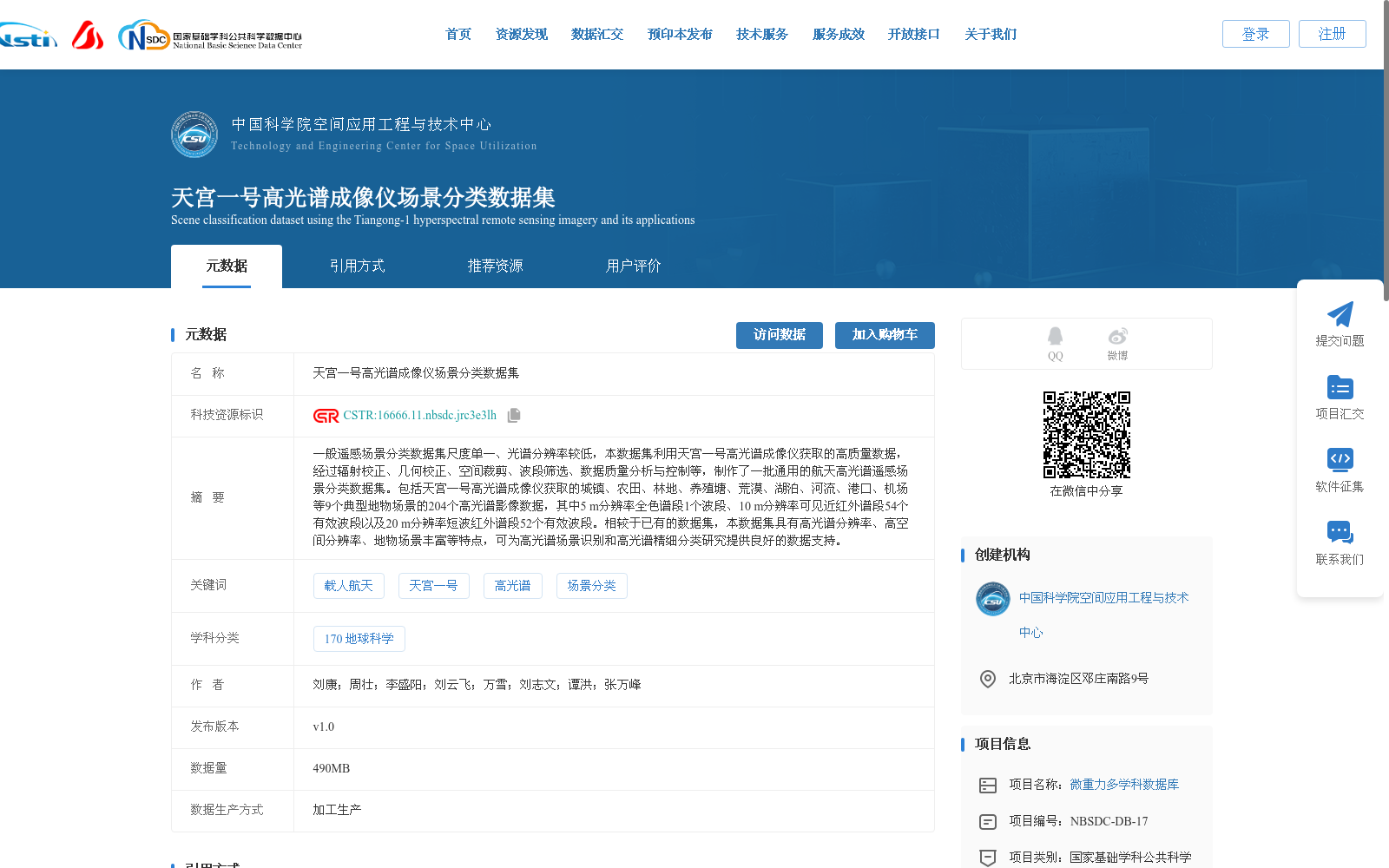
一般遥感场景分类数据集尺度单一、光谱分辨率较低,本数据集利用天宫一号高光谱成像仪获取的高质量数据,经过辐射校正、几何校正、空间裁剪、波段筛选、数据质量分析与控制等,制作了一批通用的航天高光谱遥感场景分类数据集。包括天宫一号高光谱成像仪获取的城镇、农田、林地、养殖塘、荒漠、湖泊、河流、港口、机场等9个典型地物场景的204个高光谱影像数据,其中5 m分辨率全色谱段1个波段、10 m分辨率可见近红外谱段54个有效波段以及20 m分辨率短波红外谱段52个有效波段。相较于已有的数据集,本数据集具有高光谱分辨率、高空间分辨率、地物场景丰富等特点,可为高光谱场景识别和高光谱精细分类研究提供良好的数据支持。
Most existing remote sensing scene classification datasets suffer from single-scale limitations and low spectral resolution. This dataset is constructed using high-quality data acquired by the Tiangong-1 hyperspectral imager, after undergoing processes including radiometric correction, geometric correction, spatial cropping, band screening, data quality analysis and control, to develop a general aerospace hyperspectral remote sensing scene classification dataset. It contains 204 hyperspectral image samples of 9 typical ground feature scenes including urban areas, farmland, woodland, aquaculture ponds, deserts, lakes, rivers, ports and airports, all acquired by the Tiangong-1 hyperspectral imager. Specifically, the dataset includes 1 panchromatic band with 5 m spatial resolution, 54 valid bands in the visible-near infrared spectral range with 10 m spatial resolution, and 52 valid bands in the short-wave infrared spectral range with 20 m spatial resolution. Compared with existing datasets, this dataset boasts advantages such as high spectral and spatial resolution and rich ground feature scene types, and can provide excellent data support for hyperspectral scene recognition and hyperspectral fine classification research.
提供机构:
中国科学院空间应用工程与技术中心
搜集汇总
数据集介绍
背景与挑战
背景概述
该数据集是天宫一号高光谱成像仪获取的城镇、农田、林地等9个典型地物场景的204个高光谱影像数据,具有高光谱分辨率、高空间分辨率和丰富的地物场景特点,适用于高光谱场景识别和精细分类研究。
以上内容由遇见数据集搜集并总结生成


