AQUALOC
收藏资源简介:
AQUALOC数据集是由法国国家科学研究中心创建,专注于水下车辆同时定位与地图构建方法的发展。该数据集包含17个数据序列,记录于三个不同环境:港口、第一个考古遗址和第二个考古遗址。数据采集使用配备单色相机、低成本惯性测量单元、压力传感器和计算单元的遥控车辆。数据集提供ROS包和原始数据格式,旨在促进水下视觉定位方法的发展,解决水下环境中的定位问题。
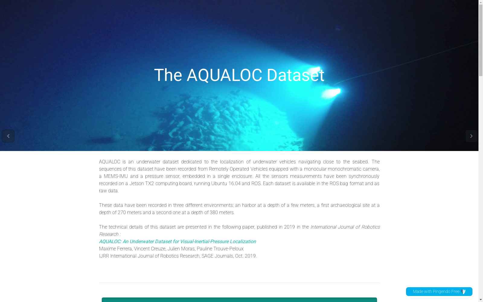
The AQUALOC dataset was developed by the French National Centre for Scientific Research, focusing on advancing simultaneous localization and mapping (SLAM) techniques for underwater vehicles. It comprises 17 data sequences collected across three distinct environments: a harbor, a first archaeological site, and a second archaeological site. Data was acquired using a remotely operated vehicle equipped with a monochromatic camera, a low-cost inertial measurement unit, a pressure sensor, and a computing unit. The dataset provides both ROS packages and raw data formats, with the objective of facilitating the development of underwater visual localization methods and addressing localization challenges in underwater environments.