
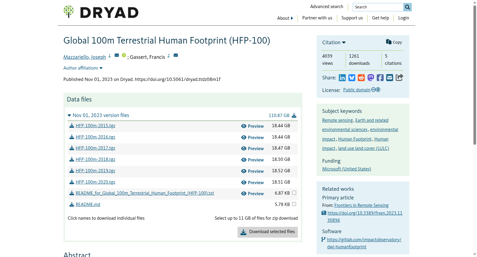
Global 100m Terrestrial Human Footprint (HFP-100)
收藏DataCite Commons2025-06-01 更新2025-06-15 收录
下载链接:
https://datadryad.org/dataset/doi:10.5061/dryad.ttdz08m1f
下载链接
链接失效反馈官方服务:
资源简介:
Maps depicting the intensity of human pressure on the environment have
become a critical tool for spatial planning and management, monitoring the
extent of human influence across Earth, and identifying critical remaining
intact habitat. Yet, these maps are often years out of date by the time
they are available to scientists and policy-makers. Here we provide an
updated Human Footprint methodology to run on an annual basis to monitor
changing anthropogenic pressures. Software and methods are parameterized
to enable regular updates in the future. In addition, we release a
100-meter global dataset for the years 2015–2019 and 2020 based on land
use, population, infrastructure, and accessibility data. Results show high
levels of agreement in validation against expert-interpreted satellite
imagery and improved performance compared to previous iterations of
similar datasets. These maps are directly relevant to measuring progress
towards national and international targets related to biodiversity
conservation and sustainable development.
描绘人类对环境影响强度的地图,已成为空间规划与管理、监测全球范围内人类活动影响范围、识别关键剩余完整栖息地的核心工具。然而此类地图往往在供科学家与政策制定者使用时,已滞后数年之久。为此,我们提出了一种可按年度运行的更新版人类足迹(Human Footprint)方法学,用以持续监测不断变化的人为环境压力。该软件与方法均已完成参数化配置,可支持未来的常态化更新。此外,我们基于土地利用、人口、基础设施与可达性数据,发布了2015至2019年及2020年的100米分辨率全球数据集。经与专家解译的卫星影像进行验证,结果显示该数据集吻合度极高,且相较于此前同类数据集的迭代版本,其性能得到了显著提升。此类地图可直接用于衡量各国及国际社会在生物多样性保护与可持续发展相关目标上的进展情况。
提供机构:
Dryad
创建时间:
2023-11-01
搜集汇总
数据集介绍
背景与挑战
背景概述
Global 100m Terrestrial Human Footprint (HFP-100)是一个全球性的高分辨率人类足迹数据集,覆盖2015年至2020年,通过综合土地利用、人口密度、基础设施等多维度数据,以0-50的评分量化人类对环境的压力程度。该数据集采用100米分辨率,文件总规模约110GB,适用于生物多样性保护和可持续发展目标的相关研究。
以上内容由遇见数据集搜集并总结生成



