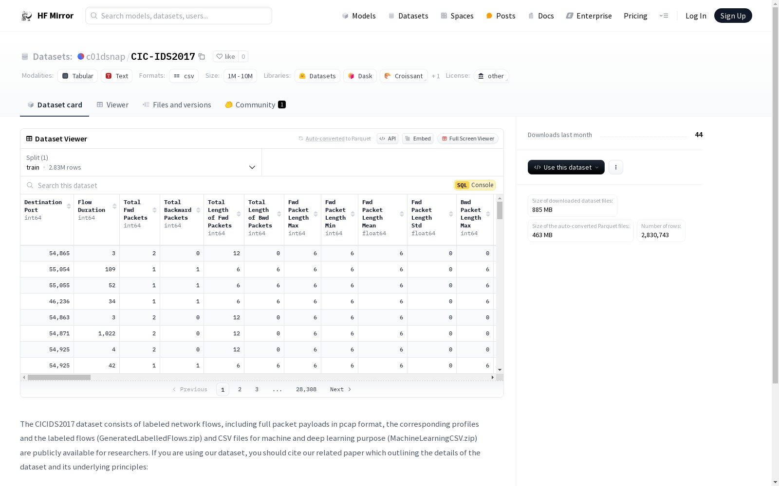
c01dsnap/CIC-IDS2017|网络安全数据集|入侵检测数据集
收藏CICIDS2017 数据集概述
数据集内容
- 数据类型:包含标记的网络流量数据,包括完整的包负载(pcap格式)、相应的配置文件和标记的流量(GeneratedLabelledFlows.zip)以及用于机器学习和深度学习的CSV文件(MachineLearningCSV.zip)。
数据集用途
- 公开可用性:该数据集对研究人员公开可用。
引用要求
- 引用文献:使用该数据集时,应引用相关论文,该论文详细介绍了数据集及其基本原理。
- 论文信息:
- 作者:Iman Sharafaldin, Arash Habibi Lashkari, Ali A. Ghorbani
- 标题:“Toward Generating a New Intrusion Detection Dataset and Intrusion Traffic Characterization”
- 会议:4th International Conference on Information Systems Security and Privacy (ICISSP)
- 地点:Portugal
- 时间:January 2018
- 论文信息:

LFW
人脸数据集;LFW数据集共有13233张人脸图像,每张图像均给出对应的人名,共有5749人,且绝大部分人仅有一张图片。每张图片的尺寸为250X250,绝大部分为彩色图像,但也存在少许黑白人脸图片。 URL: http://vis-www.cs.umass.edu/lfw/index.html#download
AI_Studio 收录
Yahoo Finance
Dataset About finance related to stock market
kaggle 收录
全国 1∶200 000 数字地质图(公开版)空间数据库
As the only one of its kind, China National Digital Geological Map (Public Version at 1∶200 000 scale) Spatial Database (CNDGM-PVSD) is based on China' s former nationwide measured results of regional geological survey at 1∶200 000 scale, and is also one of the nationwide basic geosciences spatial databases jointly accomplished by multiple organizations of China. Spatially, it embraces 1 163 geological map-sheets (at scale 1: 200 000) in both formats of MapGIS and ArcGIS, covering 72% of China's whole territory with a total data volume of 90 GB. Its main sources is from 1∶200 000 regional geological survey reports, geological maps, and mineral resources maps with an original time span from mid-1950s to early 1990s. Approved by the State's related agencies, it meets all the related technical qualification requirements and standards issued by China Geological Survey in data integrity, logic consistency, location acc racy, attribution fineness, and collation precision, and is hence of excellent and reliable quality. The CNDGM-PVSD is an important component of China' s national spatial database categories, serving as a spatial digital platform for the information construction of the State's national economy, and providing informationbackbones to the national and provincial economic planning, geohazard monitoring, geological survey, mineral resources exploration as well as macro decision-making.
DataCite Commons 收录
Traditional-Chinese-Medicine-Dataset-SFT
该数据集是一个高质量的中医数据集,主要由非网络来源的内部数据构成,包含约1GB的中医各个领域临床案例、名家典籍、医学百科、名词解释等优质内容。数据集99%为简体中文内容,质量优异,信息密度可观。数据集适用于预训练或继续预训练用途,未来将继续发布针对SFT/IFT的多轮对话和问答数据集。数据集可以独立使用,但建议先使用配套的预训练数据集对模型进行继续预训练后,再使用该数据集进行进一步的指令微调。数据集还包含一定比例的中文常识、中文多轮对话数据以及古文/文言文<->现代文翻译数据,以避免灾难性遗忘并加强模型表现。
huggingface 收录
NWPU VHR-10 dataset
NWPU VHR-10数据集是一个包含10个类别地理空间目标检测的挑战性数据集。该数据集共包含800张VHR光学遥感图像,其中715张彩色图像来自Google Earth,空间分辨率在0.5至2米之间,85张全色锐化彩色红外图像来自Vaihingen数据,空间分辨率为0.08米。数据集分为两部分:a) 正图像集,包含至少一个目标的650张图像;b) 负图像集,包含150张不包含任何目标的图像。从正图像集中,手动标注了757架飞机、302艘船只、655个储罐、390个棒球场、524个网球场、159个篮球场、163个田径场、224个港口、124座桥梁和477辆车辆,使用边界框和实例掩码作为地面实况。
github 收录
