CalCROP21
收藏资源简介:
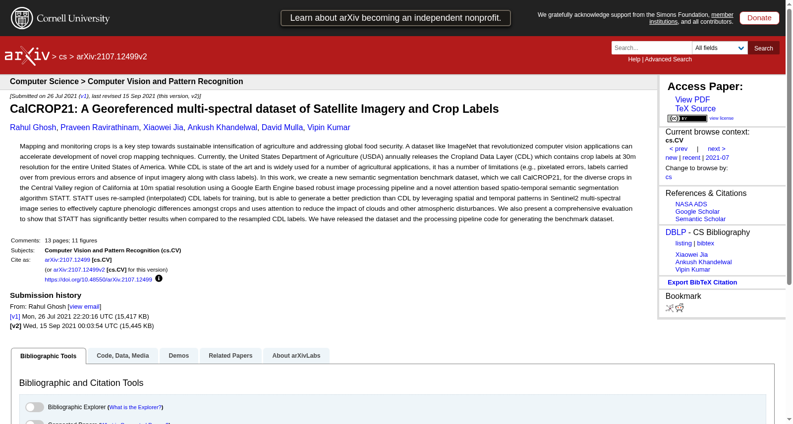
CalCROP21是由明尼苏达大学创建的一个地理参考多光谱卫星图像和作物标签数据集,专注于美国加州中央谷地区的多样化作物。该数据集包含2018年的10米分辨率卫星图像和作物标签,总计约4.4亿像素,覆盖约4.4万平方公里。数据集通过Google Earth Engine平台处理,利用Sentinel-2多光谱图像和CDL标签,通过空间-时间深度学习方法STATT生成高质量的作物标签。CalCROP21旨在通过提供高分辨率和准确性的作物分布信息,支持农业可持续发展和全球食品安全研究。
CalCROP21 is a georeferenced multispectral satellite imagery and crop label dataset developed by the University of Minnesota, focusing on diverse crops in the Central Valley of California, USA. This dataset includes 10-meter resolution satellite imagery and crop labels from 2018, totaling approximately 440 million pixels and covering an area of about 44,000 square kilometers. Processed via the Google Earth Engine platform, the dataset leverages Sentinel-2 multispectral imagery and CDL labels, with high-quality crop labels generated through the spatio-temporal deep learning method STATT. CalCROP21 aims to support agricultural sustainability and global food security research by providing high-resolution and accurate crop distribution information.