中国逐日9km土壤冻融状态数据集(1980-2020)
收藏国家青藏高原科学数据中心2025-11-05 更新2024-03-01 收录
下载链接:
https://data.tpdc.ac.cn/zh-hans/data/e248c5dd-bfdb-45d2-a99a-64e838da7634
下载链接
链接失效反馈官方服务:
资源简介:
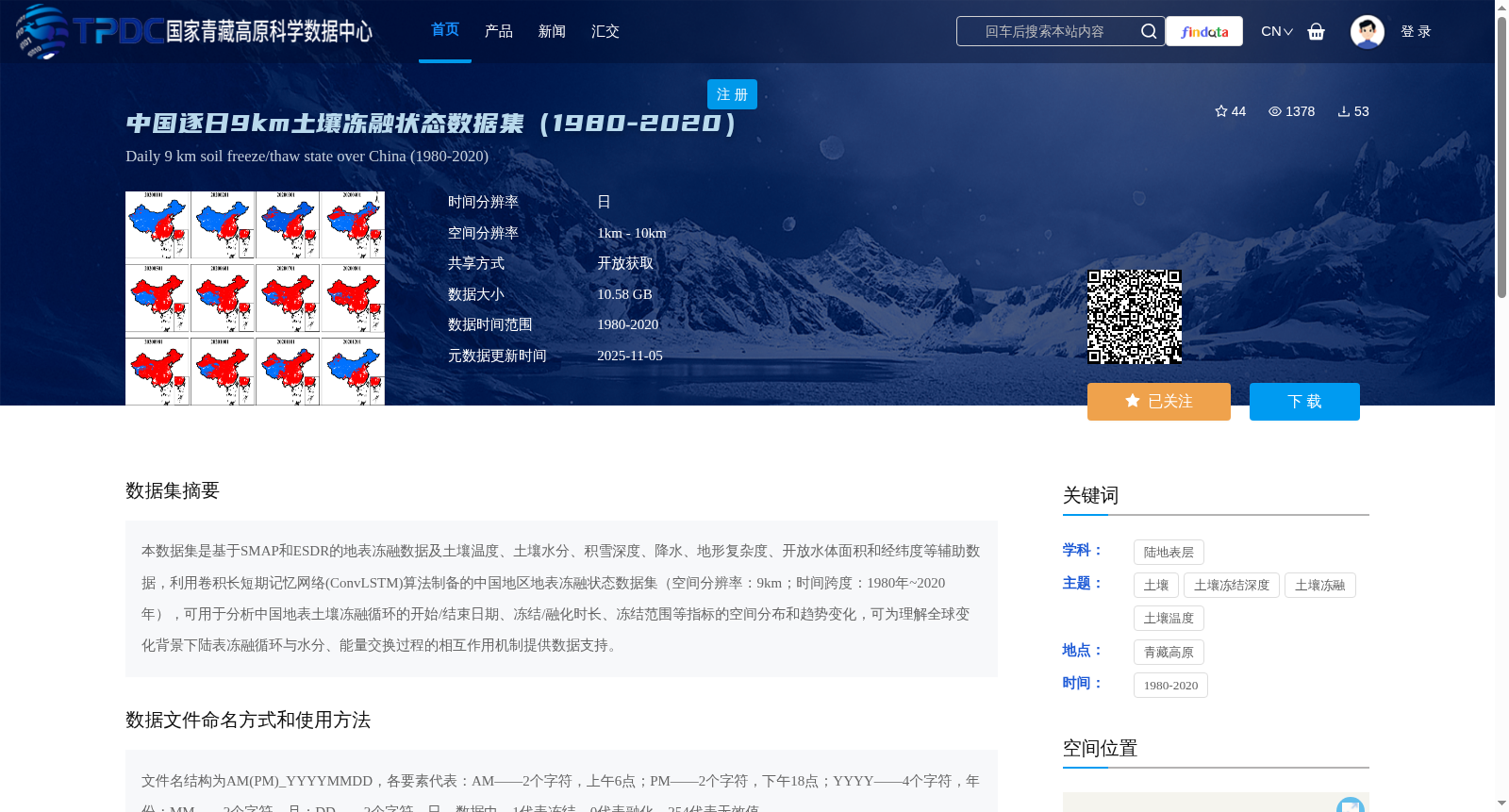
本数据集是基于SMAP和ESDR的地表冻融数据及土壤温度、土壤水分、积雪深度、降水、地形复杂度、开放水体面积和经纬度等辅助数据,利用卷积长短期记忆网络(ConvLSTM)算法制备的中国地区地表冻融状态数据集(空间分辨率:9km;时间跨度:1980年~2020年),可用于分析中国地表土壤冻融循环的开始/结束日期、冻结/融化时长、冻结范围等指标的空间分布和趋势变化,可为理解全球变化背景下陆表冻融循环与水分、能量交换过程的相互作用机制提供数据支持。
This dataset is developed based on surface freeze-thaw data from SMAP and ESDR, along with auxiliary data including soil temperature, soil moisture, snow depth, precipitation, topographic complexity, open water area, latitude and longitude, using the Convolutional Long Short-Term Memory (ConvLSTM) algorithm. It is a surface freeze-thaw status dataset for China, with a spatial resolution of 9 km and a time span from 1980 to 2020. This dataset can be used to analyze the spatial distribution and temporal trends of indicators such as the start/end dates of surface soil freeze-thaw cycles, freeze/thaw duration, and freeze extent in China. It can provide data support for understanding the interaction mechanisms between land surface freeze-thaw cycles and water and energy exchange processes under the context of global change.
提供机构:
柴琳娜,李恒,崔红婧
创建时间:
2023-04-06
搜集汇总
数据集介绍
背景与挑战
背景概述
该数据集是中国地区1980-2020年逐日地表冻融状态数据,空间分辨率为9km,基于SMAP和ESDR数据及多种辅助数据,利用ConvLSTM算法制备。可用于分析土壤冻融循环的开始/结束日期、冻结/融化时长等指标,为研究陆表冻融循环与水分、能量交换过程的相互作用提供数据支持。
以上内容由遇见数据集搜集并总结生成


