2015-2019年海南岛1m红树林变化数据集
收藏地球大数据科学工程2024-04-21 收录
下载链接:
https://data.casearth.cn/sdo/detail/6396cf6c819aec7aa363a68e
下载链接
链接失效反馈官方服务:
资源简介:
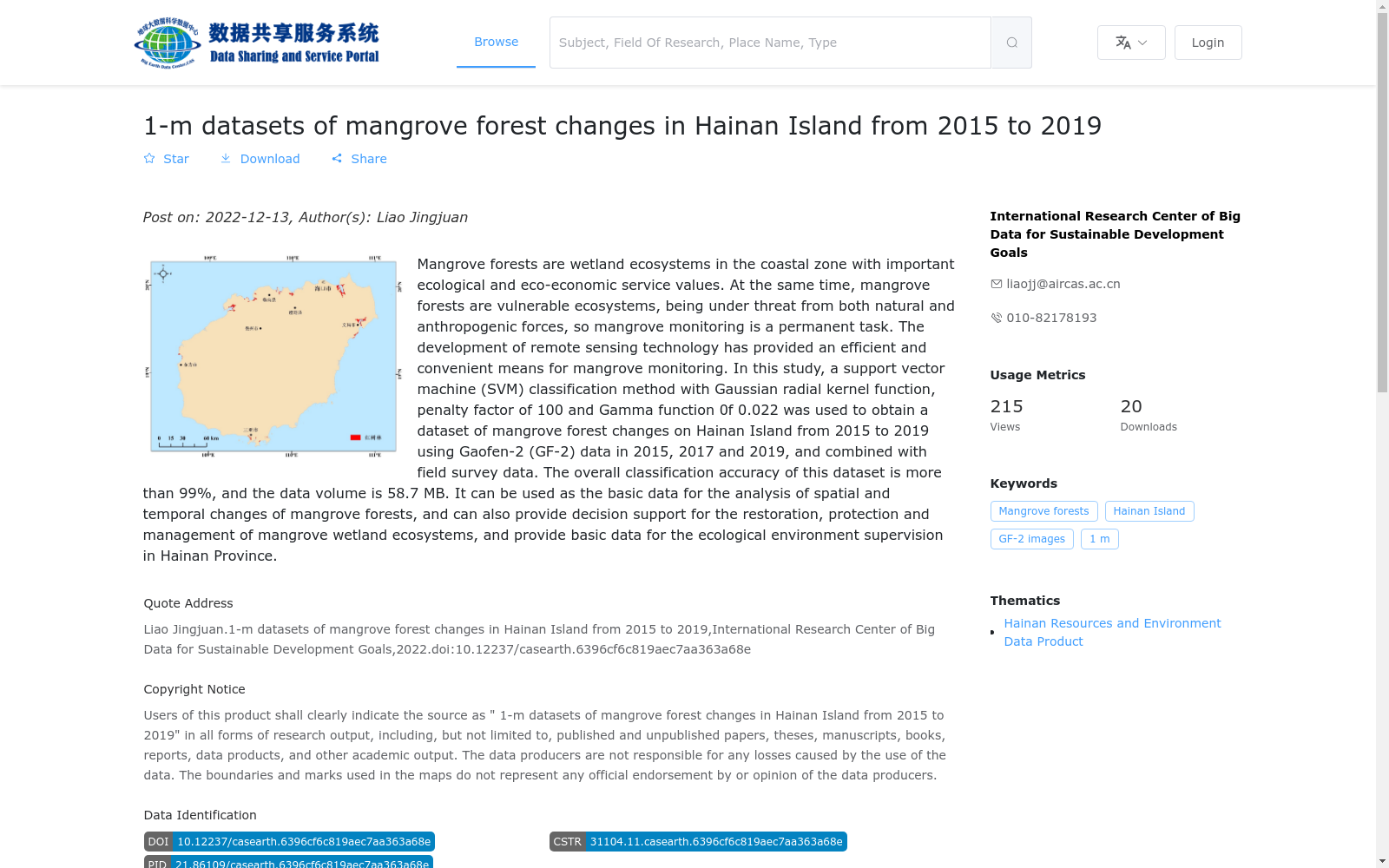
红树林是具有重要的生态及生态经济服务价值的海岸带湿地生态系统。由于自然因素和人类活动的影响,红树林又是全球最脆弱的生态系统之一。红树林的监测是一项需要长久开展的工作。遥感技术的发展为红树林监测提供了一种高效便利的手段。本研究利用2015、2017和2019年共计3期国产高分2号(GF-2)数据,采用高斯径向基核函数,惩罚因子为100,Gamma函数为0.022的支持向量基方法,并结合野外调查资料,获取了2015–2019年3期海南岛红树林变化数据集。本数据集总体分类精度大于99%,数据量为58.7 MB。本数据集可作为红树林时空变化分析的基础数据,也能为红树林湿地生态系统恢复、保护和管理提供决策支持,为海南省生态环境监管提供数据支持。
Mangroves are coastal wetland ecosystems with significant ecological and eco-economic service values. Affected by both natural factors and human activities, mangroves are also among the most vulnerable ecosystems globally. Monitoring mangroves is a long-term and sustained task. The advancement of remote sensing technology has provided an efficient and convenient approach for mangrove monitoring. In this study, a total of three phases of domestic Gaofen-2 (GF-2) satellite data from 2015, 2017 and 2019 were used, combined with field survey data, and the support vector machine (SVM) method with Gaussian radial basis kernel function, a penalty factor of 100 and a Gamma parameter of 0.022 was adopted to develop the three-phase mangrove change dataset of Hainan Island from 2015 to 2019. The overall classification accuracy of this dataset exceeds 99%, with a total data volume of 58.7 MB. This dataset can serve as fundamental data for spatiotemporal change analysis of mangroves, provide decision-making support for the restoration, protection and management of mangrove wetland ecosystems, and offer data support for the ecological environment supervision of Hainan Province.
提供机构:
可持续发展大数据国际研究中心
搜集汇总
数据集介绍
背景与挑战
背景概述
该数据集是基于2015、2017和2019年高分二号(GF-2)卫星影像,采用支持向量机分类方法并结合野外调查生成的海南岛红树林变化数据,空间分辨率为1米,总体分类精度超过99%。数据集以矢量格式(shp)提供,时间跨度为2015年至2019年,每两年一期,可用于分析红树林时空变化、支持湿地生态系统保护管理决策,并为海南省生态环境监管提供基础数据。
以上内容由遇见数据集搜集并总结生成


