联合光学和雷达多星遥感的全国逐月无缝陆表水域数据集(2018-2020)
收藏国家青藏高原科学数据中心2022-10-30 更新2024-03-01 收录
下载链接:
https://data.tpdc.ac.cn/zh-hans/data/cbdd60fa-2cd5-4a7c-9e8a-f3700eac4757
下载链接
链接失效反馈官方服务:
资源简介:
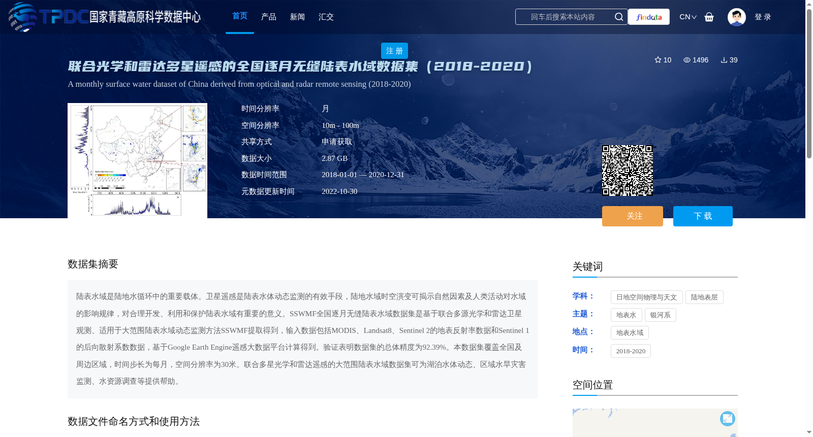
陆表水域是陆地水循环中的重要载体。卫星遥感是陆表水体动态监测的有效手段,陆地水域时空演变可揭示自然因素及人类活动对水域的影响规律,对合理开发、利用和保护陆表水域有重要的意义。SSWMF全国逐月无缝陆表水域数据集是基于联合多源光学和雷达卫星观测、适用于大范围陆表水域动态监测方法SSWMF提取得到,输入数据包括MODIS、Landsat8、Sentinel 2的地表反射率数据和Sentinel 1的后向散射系数数据,基于Google Earth Engine遥感大数据平台计算得到。验证表明数据集的总体精度为92.39%。本数据集覆盖全国及周边区域,时间步长为每月,空间分辨率为30米。联合多星光学和雷达遥感的大范围陆表水域数据集可为湖泊水体动态、区域水旱灾害监测、水资源调查等提供帮助。
Land surface water bodies are critical carriers in the terrestrial water cycle. Satellite remote sensing is an effective approach for dynamic monitoring of land surface water bodies. The spatiotemporal evolution of terrestrial water bodies can reveal the mechanisms by which natural factors and human activities affect these water bodies, holding great significance for the rational development, utilization, and conservation of land surface water resources. The SSWMF National Monthly Seamless Land Surface Water Dataset is extracted via the SSWMF method, which is tailored for large-scale dynamic monitoring of land surface water bodies and built upon combined multi-source optical and radar satellite observations. The input data comprises surface reflectance data from MODIS, Landsat 8, and Sentinel 2, along with backscatter coefficient data from Sentinel 1, and the dataset was generated on the Google Earth Engine remote sensing big data platform. Validation results indicate that the overall accuracy of this dataset is 92.39%. This dataset covers China and its surrounding regions, with a monthly temporal resolution and a spatial resolution of 30 meters. This large-scale land surface water dataset based on combined multi-satellite optical and radar remote sensing can provide valuable support for applications such as lake water body dynamics monitoring, regional flood and drought disaster monitoring, and water resource surveys.
提供机构:
杨永民
创建时间:
2021-10-21
搜集汇总
数据集介绍
背景与挑战
背景概述
该数据集是基于多源光学和雷达卫星遥感数据(如MODIS、Landsat8、Sentinel 1和2)生成的全国逐月陆表水域覆盖数据,时间跨度为2018年至2020年,每月更新一次,空间分辨率为30米,总体精度达92.39%,旨在支持湖泊动态、水旱灾害监测和水资源调查等应用。
以上内容由遇见数据集搜集并总结生成


