四川雅安地区地形地貌数据(高程、坡度坡向、地貌数据)
收藏国家地球系统科学数据中心2016-05-05 更新2024-03-04 收录
下载链接:
https://www.geodata.cn/data/datadetails.html?dataguid=133403819358709&docId=34691
下载链接
链接失效反馈官方服务:
资源简介:
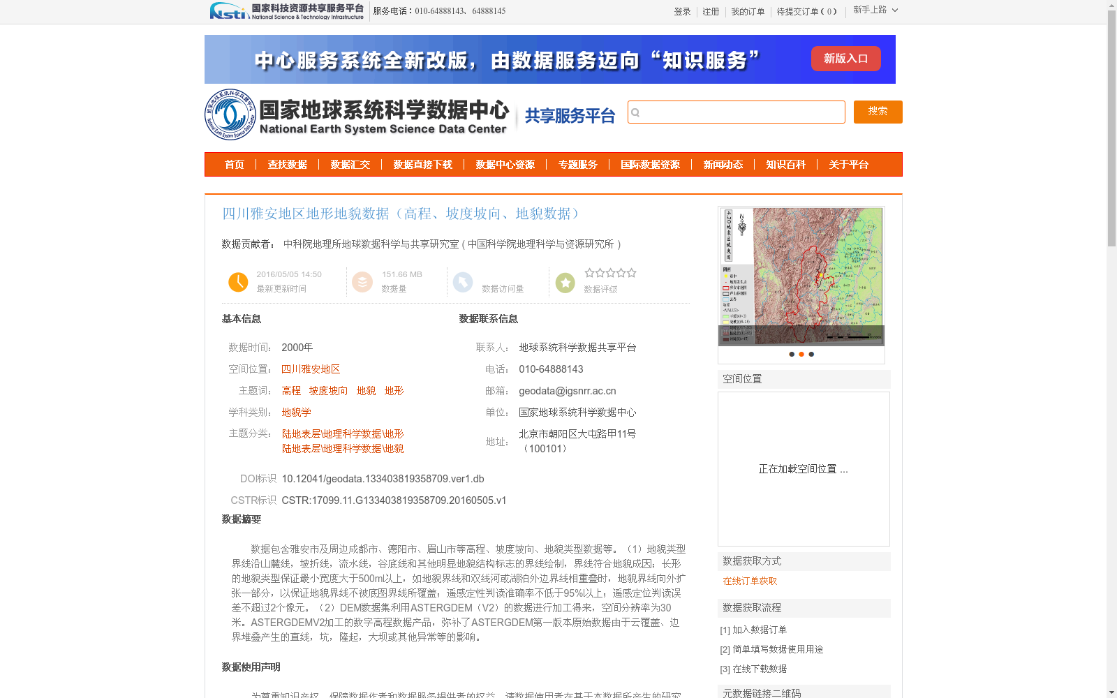
数据包含雅安市及周边成都市、德阳市、眉山市等高程、坡度坡向、地貌类型数据等。(1)地貌类型界线沿山麓线,坡折线,流水线,谷底线和其他明显地貌结构标志的界线绘制,界线符合地貌成因;长形的地貌类型保证最小宽度大于500m以上,如地貌界线和双线河或湖泊外边界线相重叠时,地貌界线向外扩张一部分,以保证地貌界线不被底图界线所覆盖;遥感定性判读准确率不低于95%以上;遥感定位判读误差不超过2个像元。(2)DEM数据集利用ASTERGDEM(V2)的数据进行加工得来,空间分辨率为30米。ASTERGDEMV2加工的数字高程数据产品,弥补了ASTERGDEM第一版本原始数据由于云覆盖、边界堆叠产生的直线,坑,隆起,大坝或其他异常等的影响。
The dataset contains elevation, slope aspect, and landform type data for Ya'an City and its surrounding areas including Chengdu City, Deyang City, Meishan City, etc.
(1) The boundaries of landform types are delineated along mountain foot lines, slope break lines, flow lines, valley bottom lines and boundaries of other obvious geomorphic structure markers, which conform to geomorphic genesis. For elongated landform types, the minimum width shall be no less than 500 meters. If a landform boundary overlaps with the outer boundary lines of double-line rivers or lakes, the landform boundary shall be appropriately expanded outward to ensure that it is not covered by the base map boundary. The qualitative interpretation accuracy of remote sensing shall be no less than 95%, and the positioning interpretation error of remote sensing shall not exceed 2 pixels.
(2) The DEM dataset is derived by processing data from ASTER GDEM (V2), with a spatial resolution of 30 meters. The digital elevation data product processed from ASTER GDEM V2 offsets the adverse effects of anomalies such as straight lines, pits, uplifts, dams and other defects in the original data of the first version of ASTER GDEM caused by cloud cover and boundary stacking.
提供机构:
中国科学院地理科学与资源研究所
创建时间:
2016-05-05
搜集汇总
数据集介绍
背景与挑战
背景概述
该数据集提供了2000年四川雅安地区的地形地貌信息,包括高程、坡度坡向和地貌类型数据,数据量约为151.66 MB。地貌数据基于遥感图像绘制,遵循严格的标准(如最小宽度大于500米,判读准确率不低于95%),而高程数据源自ASTERGDEM V2加工,空间分辨率为30米,适用于地貌学和地理科学研究。数据集已被多个高校和研究机构用于论文和项目,体现了其学术价值。
以上内容由遇见数据集搜集并总结生成


