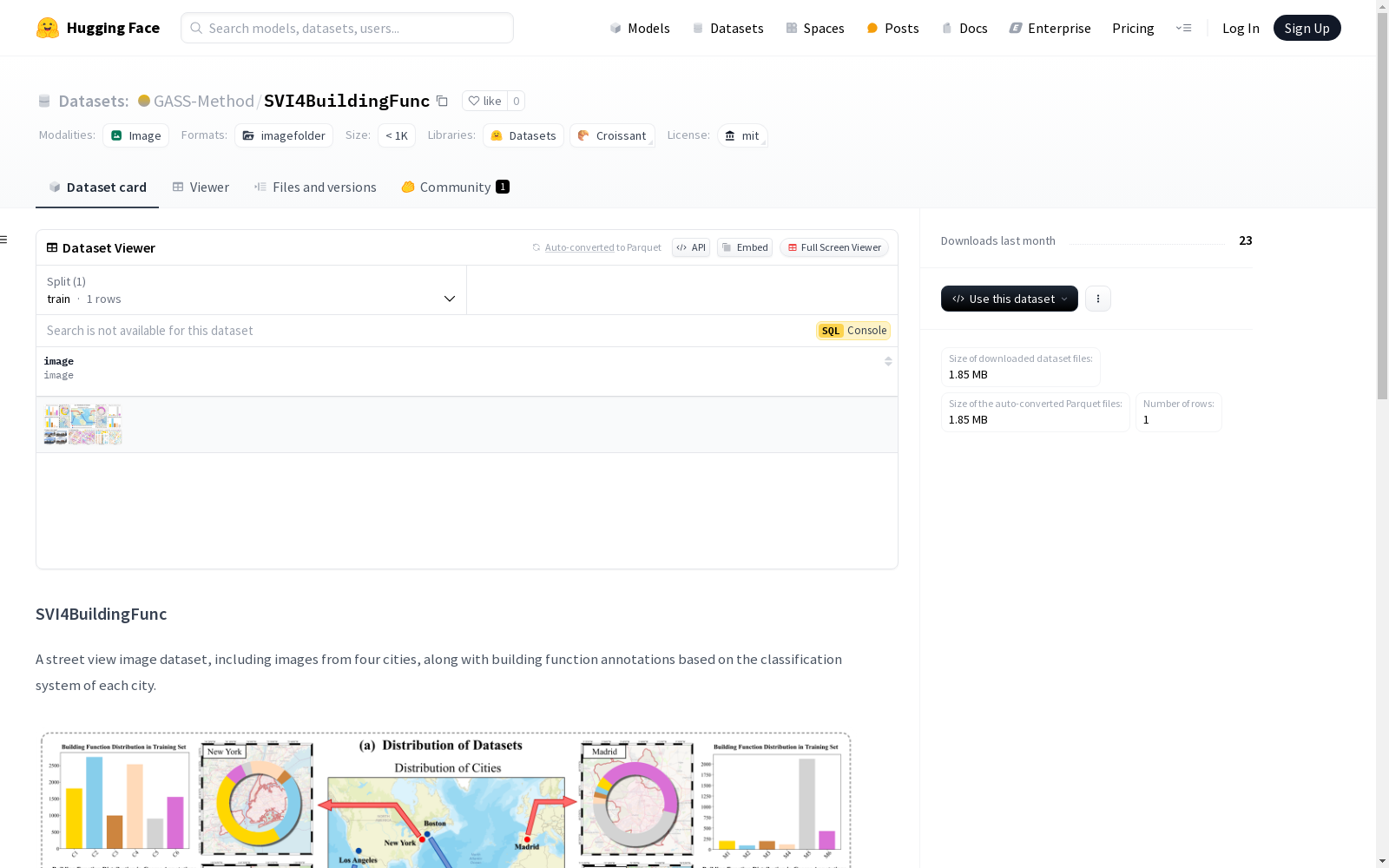
SVI4BuildingFunc
收藏资源简介:
SVI4BuildingFunc是一个街景图像数据集,包含来自四个城市的图像,并基于每个城市的分类系统进行建筑功能标注。数据集涵盖了美国的纽约、洛杉矶、波士顿和西班牙的马德里。纽约的数据来自OmniCity数据集,包含3,100个带标签的训练图像、3,300个带标签的测试图像以及31,000个未标记的图像用于半监督训练。马德里的数据包含1,000个带标签的训练图像、2,000个带标签的测试图像以及10,000个未标记的图像。数据集还扩展到洛杉矶和波士顿,以支持不同分类系统的研究。
SVI4BuildingFunc is a street view image dataset with building function annotations based on each city's respective classification systems, containing images from four cities: New York, Los Angeles and Boston in the United States, as well as Madrid in Spain. The data for New York is sourced from the OmniCity dataset, which includes 3,100 labeled training images, 3,300 labeled test images, and 31,000 unlabeled images for semi-supervised training. The Madrid subset consists of 1,000 labeled training images, 2,000 labeled test images, and 10,000 unlabeled images. The dataset further expands to include Los Angeles and Boston to support research on different classification systems.
SVI4BuildingFunc
数据集概述
SVI4BuildingFunc 是一个街景图像数据集,包含来自四个城市的图像,并基于每个城市的分类系统进行建筑功能标注。
数据集内容
- 城市覆盖:数据集涵盖四个城市,分别是美国的纽约、洛杉矶、波士顿和西班牙的马德里。
- 数据来源:
- 纽约:数据改编自 OmniCity 数据集,保留了其训练集中的 3,100 张标注图像和测试集中的 3,300 张标注图像,并补充了 31,000 张未标注图像用于半监督训练。
- 马德里:包含 1,000 张标注图像的训练集、2,000 张标注图像的测试集,以及额外的 10,000 张未标注图像。
- 洛杉矶和波士顿:数据集进一步扩展,以支持不同分类系统的研究。
发布情况
- 已发布:纽约的街景图像的 ID 文件和标注文件。
- 未发布:马德里、洛杉矶和波士顿的街景图像数据。
详细信息
有关数据集的详细信息,请参考即将发布的出版物链接。