
IRCHN
收藏资源简介:
IRCHN是由西安交通大学与中国科学院联合构建的多模态无人机视角地理定位基准数据集,旨在解决昼夜交替环境下跨模态视觉定位的评估难题。该数据集包含来自8,820个地理位置的26,460张图像,每个位置均提供可见光无人机图像、红外无人机图像及对应卫星图像三组对齐数据,覆盖农田、海岸线、森林和城市四类典型场景,数据通过专业机载成像系统在海南万宁至陵水区域实地采集。该数据集主要用于评估无人机在昼夜不同光照条件下的地理定位性能,为跨视角与跨模态联合学习研究提供统一基准。
IRCHN is a benchmark multi-modal unmanned aerial vehicle (UAV)-view geolocation dataset jointly constructed by Xi'an Jiaotong University and the Chinese Academy of Sciences, aiming to address the evaluation challenge of cross-modal visual geolocation in day-night alternating environments. This dataset contains 26,460 images from 8,820 geographic locations, with three aligned image sets provided for each location: visible light UAV images, infrared UAV images, and corresponding satellite images. It covers four typical scenarios including farmland, coastline, forest and urban areas. The data was collected on-site in the region from Wanning to Lingshui, Hainan Province using professional airborne imaging systems. This dataset is mainly used to evaluate the geolocation performance of UAVs under different day-night lighting conditions, providing a unified benchmark for cross-view and cross-modal joint learning research.
数据集概述
MASTR-Net 是一个用于昼夜无人机视角地理定位的统一基准与模态自适应网络。
背景与来源
- 该仓库是论文《A Unified Benchmark and Modality-Adaptive Network for Day-and-Night Drone-View Geo-Localization》的官方实现。
- 论文作者包括 Songtianhao Xu(中科院西安光学精密机械研究所)、Zhongwei Chen、Zhaoxu Yang*(西安交通大学航天航空学院)和 Weifeng Wang*(中科院西安光学精密机械研究所)。
当前版本状态
- 当前版本可覆盖论文中报告的所有实验,便于研究人员进行时间效率评估。
- 后续将更新以提升可理解性和清晰度。
配套资源
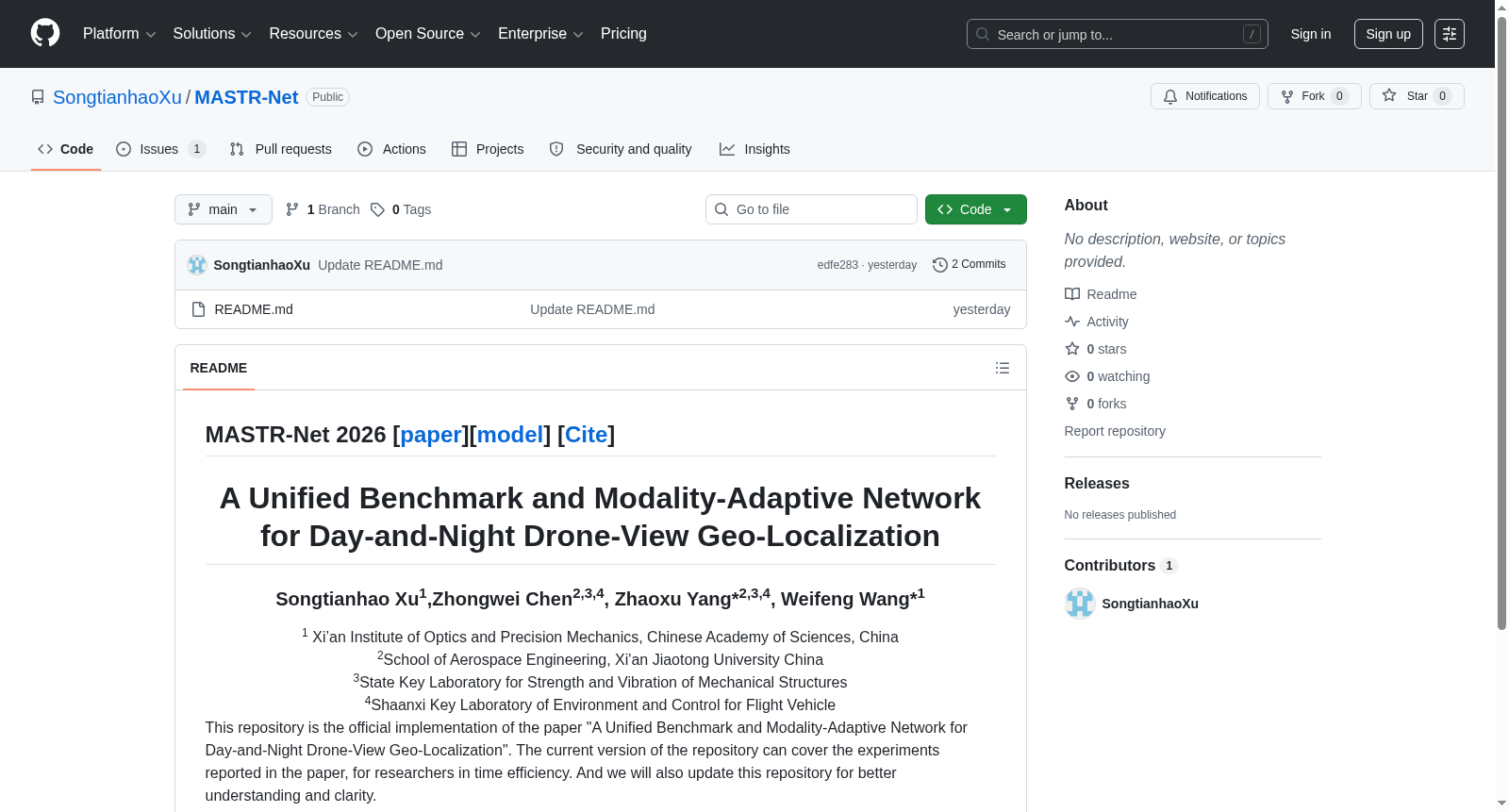
- 1A Unified Benchmark and Modality-Adaptive Network for Day-and-Night Drone-View Geo-Localization西安交通大学·强度与振动国家重点实验室·陕西省飞行器环境控制重点实验室·航天航空学院; 中国科学院·西安光学精密机械研究所 · 2026年


