太湖流域地表水数据集(1984-2020年)
收藏国家地球系统科学数据中心2024-01-13 更新2024-03-04 收录
下载链接:
https://www.geodata.cn/data/datadetails.html?dataguid=173228682154329&docId=4112
下载链接
链接失效反馈官方服务:
资源简介:
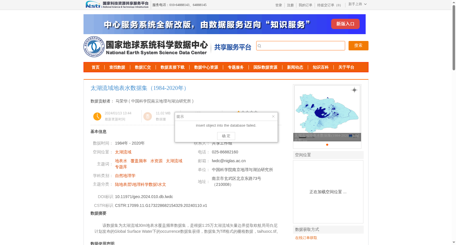
该数据集为太湖流域30m地表水覆盖频率数据集,是根据1:25万太湖流域矢量边界提取欧航局哥白尼计划发布的Global Surface Water下的occurrence数据集获得,数据集为Tiff格式的栅格数据,taihuocc.tif。
This dataset is a 30-meter resolution surface water occurrence frequency dataset for the Taihu Lake Basin. It is derived from the occurrence subset of the Global Surface Water product released by the European Space Agency (ESA) Copernicus Programme, extracted using the 1:250,000-scale vector boundary of the Taihu Lake Basin. The dataset is stored as TIFF-format raster data with the filename taihuocc.tif.
提供机构:
中国科学院南京地理与湖泊研究所
创建时间:
2024-01-10
搜集汇总
数据集介绍
背景与挑战
背景概述
太湖流域地表水数据集(1984-2020年)是基于欧航局哥白尼计划Global Surface Water数据,通过ArcGIS处理生成的30m分辨率栅格数据,覆盖太湖流域,时间跨度为1984年至2020年。数据集质量可靠,漏分误差≤5%,误分误差≤1%,适用于地表水覆盖频率研究。
以上内容由遇见数据集搜集并总结生成


