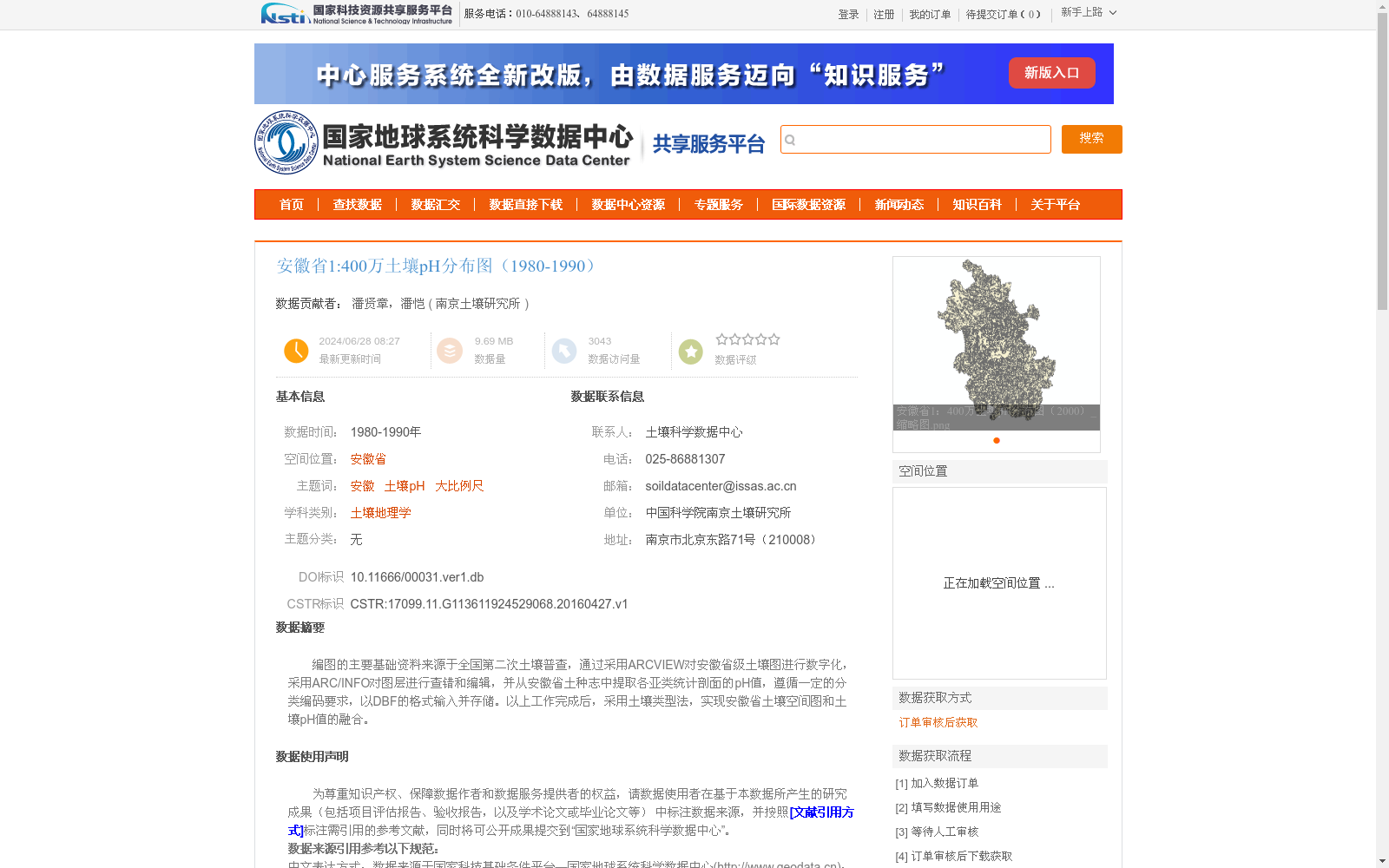
安徽省1:400万土壤pH分布图(1980-1990)
收藏国家地球系统科学数据中心2024-06-28 更新2024-03-04 收录
下载链接:
https://www.geodata.cn/data/datadetails.html?dataguid=113611924529068&docId=3013
下载链接
链接失效反馈官方服务:
资源简介:
编图的主要基础资料来源于全国第二次土壤普查,通过采用ARCVIEW对安徽省级土壤图进行数字化,采用ARC/INFO对图层进行查错和编辑,并从安徽省土种志中提取各亚类统计剖面的pH值,遵循一定的分类编码要求,以DBF的格式输入并存储。以上工作完成后,采用土壤类型法,实现安徽省土壤空间图和土壤pH值的融合。
The primary foundational data for map compilation is derived from the Second National Soil Survey. First, the Anhui provincial soil map was digitized using ArcView, followed by error checking and editing of the map layers via Arc/INFO. Additionally, pH values of statistical profiles for each soil subclass were extracted from the *Anhui Soil Species Annals*. All operations complied with specified classification and coding requirements, with the relevant data being input and stored in DBF format. Upon completion of the aforementioned work, the soil type-based method was adopted to integrate the spatial distribution map of Anhui soils and their corresponding soil pH values.
提供机构:
南京土壤研究所
创建时间:
2016-04-27
搜集汇总
数据集介绍
背景与挑战
背景概述
该数据集是安徽省1980-1990年间的土壤pH分布图,比例尺为1:400万,基于全国第二次土壤普查资料编制。它通过GIS技术(如ARCVIEW和ARC/INFO)将土壤空间图与pH值融合,提供了大比例尺的土壤酸碱度空间分布信息,适用于土壤地理学和土地资源研究。
以上内容由遇见数据集搜集并总结生成


