中亚五国土地利用类型数据集(2000,2005,2010,2015)
收藏国家青藏高原科学数据中心2021-04-19 更新2024-04-21 收录
下载链接:
https://data.tpdc.ac.cn/zh-hans/data/cea00d80-188b-44c6-a652-5bfaf338e6af
下载链接
链接失效反馈官方服务:
资源简介:
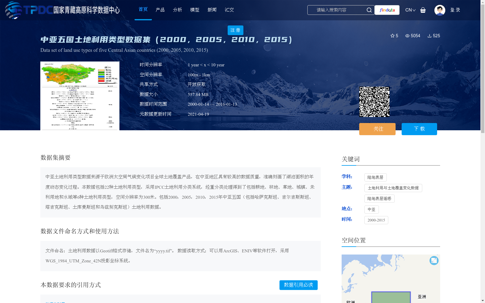
中亚土地利用类型数据来源于欧洲太空局气候变化项目全球土地覆盖产品,在中亚地区具有较高的数据质量,准确刻画了湖泊面积的年度动态变化过程。本数据包括22种土地利用类型,采用IPCC土地利用分类系统,经重分类处理得到了包括耕地、林地、草地、城镇、未利用地和水域等6种土地利用类型,空间分辨率为300米。包括2000,2005,2010,2015年中亚五国(包括哈萨克斯坦、吉尔吉斯斯坦、塔吉克斯坦、土库曼斯坦和乌兹别克斯坦)土地利用数据。
The Central Asian land use type dataset is derived from the Global Land Cover Product of the European Space Agency's Climate Change Initiative (ESA CCI), which exhibits high data quality in Central Asia and accurately depicts the annual dynamic changes of lake surface area. This dataset initially contains 22 land use categories, and has been reclassified using the IPCC land use classification system into 6 major types: cultivated land, forest land, grassland, urban areas, unused land, and water bodies, with a spatial resolution of 300 meters. It provides land use data for the five Central Asian countries, namely Kazakhstan, Kyrgyzstan, Tajikistan, Turkmenistan, and Uzbekistan, for the years 2000, 2005, 2010, and 2015.
提供机构:
Pierre
创建时间:
2020-01-13
搜集汇总
数据集介绍
背景与挑战
背景概述
该数据集提供了中亚五国(哈萨克斯坦、吉尔吉斯斯坦、塔吉克斯坦、土库曼斯坦和乌兹别克斯坦)在2000、2005、2010和2015年的土地利用类型信息,数据来源于欧洲太空局气候变化项目,具有较高的质量,准确刻画了湖泊面积等动态变化。数据集包含22种原始土地利用类型,经重分类处理为耕地、林地、草地、城镇、未利用地和水域等6种类型,空间分辨率为300米,以Geotiff格式存储,适用于土地利用变化分析和环境研究。
以上内容由遇见数据集搜集并总结生成


