
The dataset of multispectral UAV imagery and ground-observed leaf chlorophyll content and leaf area index from the wheat experimental area in Gaocheng, Hebei Province in 2024
收藏官方服务:
资源简介:
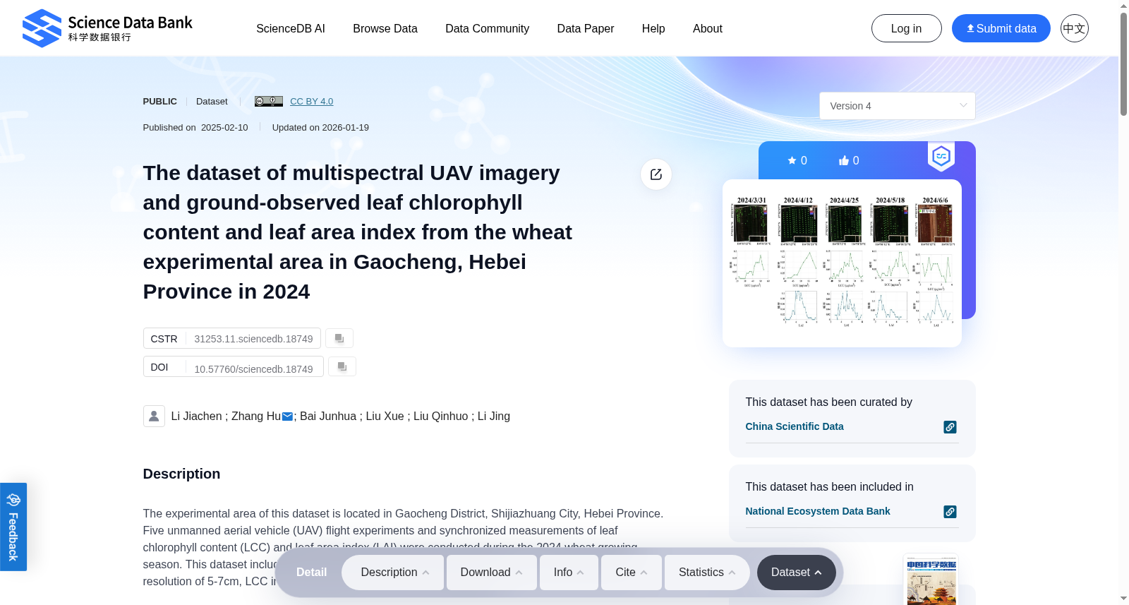
The experimental area of this dataset is located in Gaocheng District, Shijiazhuang City, Hebei Province. Five unmanned aerial vehicle (UAV) flight experiments and synchronized measurements of leaf chlorophyll content (LCC) and leaf area index (LAI) were conducted during the 2024 wheat growing season. This dataset includes 5 drone multispectral images from March to June 2024 with a spatial resolution of 5-7cm, LCC in 480 wheat plots, and LAI in 451 wheat plots.
本数据集的实验区域位于河北省石家庄市藁城区。2024年小麦生长季期间,共开展5次无人机(unmanned aerial vehicle, UAV)飞行实验,并同步测定了叶片叶绿素含量(leaf chlorophyll content, LCC)与叶面积指数(leaf area index, LAI)。本数据集包含2024年3月至6月采集的5幅无人机多光谱影像,空间分辨率为5~7厘米;涵盖480个小麦样地的叶片叶绿素含量数据,以及451个小麦样地的叶面积指数数据。
提供机构:
Science Data Bank创建时间:
2025-02-07
搜集汇总
数据集介绍
背景与挑战
背景概述
该数据集包含2024年河北藁城小麦实验区的多光谱无人机影像和地面观测数据,覆盖整个小麦生长季节(3月至6月),具有高时空分辨率(5-7厘米)。数据集整合了无人机影像(5张)、叶绿素含量(480个样本)和叶面积指数(451个样本),适用于农业遥感分析和作物生长模型研究。
以上内容由遇见数据集搜集并总结生成


