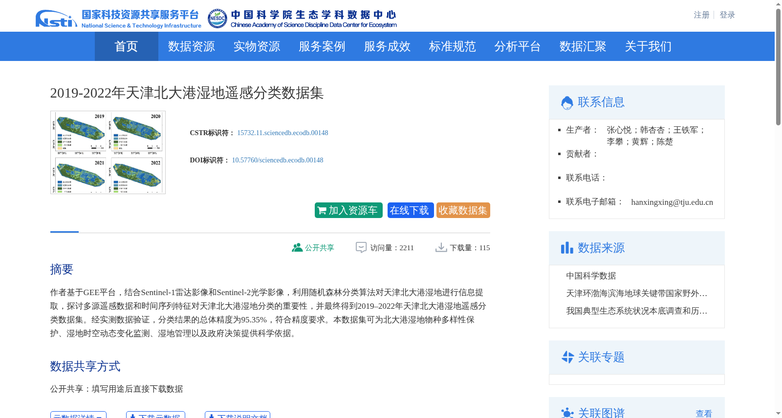
2019-2022年天津北大港湿地遥感分类数据集
收藏国家生态科学数据中心2024-10-05 收录
下载链接:
http://www.nesdc.org.cn/sdo/detail?id=66fa709a7e28174998399e07
下载链接
链接失效反馈官方服务:
资源简介:
作者基于GEE平台,结合Sentinel-1雷达影像和Sentinel-2光学影像,利用随机森林分类算法对天津北大港湿地进行信息提取,探讨多源遥感数据和时间序列特征对天津北大港湿地分类的重要性,并最终得到2019–2022年天津北大港湿地遥感分类数据集。经实测数据验证,分类结果的总体精度为95.35%,符合精度要求。本数据集可为北大港湿地物种多样性保护、湿地时空动态变化监测、湿地管理以及政府决策提供科学依据。
Using the Google Earth Engine (GEE) platform, the authors integrated Sentinel-1 radar imagery and Sentinel-2 optical imagery to conduct information extraction for the Beidagang Wetland in Tianjin using the random forest classification algorithm. They investigated the significance of multi-source remote sensing data and time-series features for wetland classification in this area, and ultimately developed the remote sensing classification dataset of Beidagang Wetland in Tianjin covering the period from 2019 to 2022. Verified by field survey data, the overall accuracy of the classification results reached 95.35%, which meets the standard accuracy requirements. This dataset can provide scientific foundations for species diversity conservation of Beidagang Wetland, monitoring of spatio-temporal dynamic changes of wetlands, wetland management, and governmental decision-making.
创建时间:
2024-09-26
搜集汇总
数据集介绍
背景与挑战
背景概述
该数据集是基于GEE平台,结合Sentinel-1雷达影像和Sentinel-2光学影像,利用随机森林算法对天津北大港湿地2019-2022年进行遥感分类的结果。分类总体精度达到95.35%,数据为栅格图像格式,主要用于湿地物种多样性保护、时空动态变化监测和管理决策支持,属于生态学领域。
以上内容由遇见数据集搜集并总结生成


