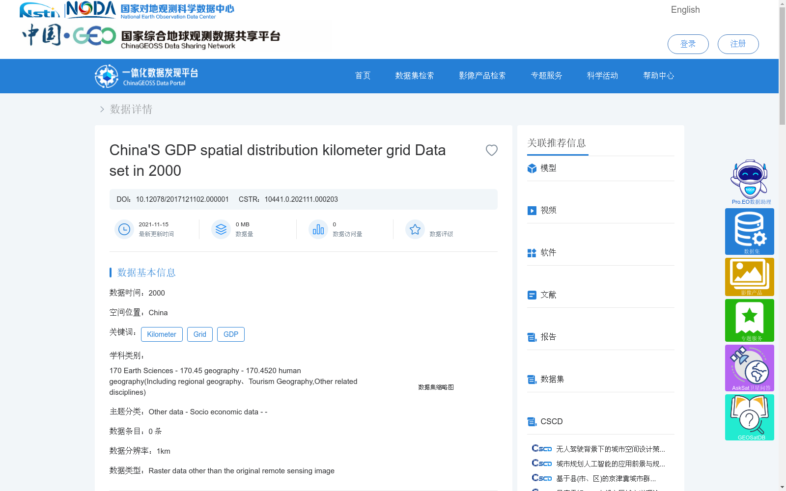
2000年中国GDP空间分布公里网格数据集
收藏资源简介:
中国GDP空间分布公里网格数据集在全国分县GDP统计数据的基础上,综合考虑了与人类经济活动密切相关的土地利用类型、夜间灯光亮度、居民点密度等多因素,利用多因子权重分配法将以行政区为基本统计单元的GDP数据展布到栅格单元上,从而实现GDP的空间化数据生产加工方法。最终根据上述方法得到1km网格的GDP空间分布公里格网数据,该数据集反映了GDP数据在全国范围内的详细空间分布状况。
The 1-kilometer grid dataset of China's GDP spatial distribution is developed based on the county-level GDP statistical data across the country. By comprehensively considering multiple factors closely related to human economic activities, including land use types, nighttime light brightness, and residential area density, this dataset adopts the multi-factor weight allocation method to disaggregate the GDP data which takes administrative regions as basic statistical units into grid cells, completing the spatialization processing of GDP data. Finally, the 1-kilometer grid GDP spatial distribution data is obtained via the aforementioned method, which reflects the detailed spatial distribution of GDP nationwide.