2020年东北黑土区30 m分辨率盐碱裸地分布数据集
收藏国家地球系统科学数据中心2024-04-24 更新2024-04-26 收录
下载链接:
https://www.geodata.cn/data/datadetails.html?dataguid=186431898901337&docId=3294
下载链接
链接失效反馈官方服务:
资源简介:
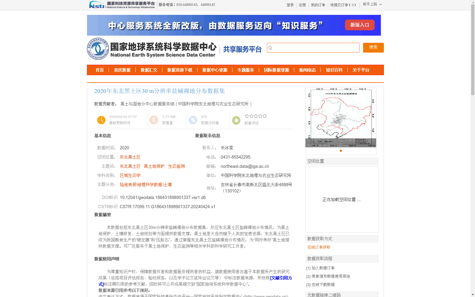
本数据包括东北黑土区30m分辨率盐碱裸地分布数据集,反应东北黑土区盐碱裸地分布情况,为黑土地保护、土壤修复、土地规划等方面提供数据支撑。黑土地是大自然赋予人类的宝贵资源,东北黑土区已成为我国粮食生产的“稳定器”和“压舱石”,通过掌握东北黑土区盐碱裸地分布情况,为“用好养好”黑土地提供数据支撑。可广泛服务于黑土地保护、生态监测等相关学科的科学研究工作者。
This dataset is a 30-meter resolution saline-alkali bare land distribution dataset covering the Northeast Black Soil Region, which accurately reflects the spatial distribution of saline-alkali bare land in this area. It provides reliable data support for black soil conservation, soil remediation, land planning and other relevant fields. Black soil is a precious natural resource bestowed upon humanity, and the Northeast Black Soil Region has emerged as a "stabilizer" and "ballast stone" for China's grain production. By clarifying the distribution of saline-alkali bare land in the Northeast Black Soil Region, this dataset offers data backing for the initiative of "properly utilizing and nurturing" black soils. It can extensively cater to scientific researchers across relevant disciplines including black soil conservation and ecological monitoring.
提供机构:
中国科学院东北地理与农业生态研究所
创建时间:
2024-04-24
搜集汇总
数据集介绍
背景与挑战
背景概述
该数据集提供了2020年东北黑土区30米分辨率的盐碱裸地分布信息,基于Landsat遥感影像采用面向对象分类方法生成,一级类精度超过90%,旨在为黑土地保护、生态监测和土地规划提供科学数据支撑。数据集以栅格格式存储,数据量较小(3.73 MB),适用于相关学科的研究和应用。
以上内容由遇见数据集搜集并总结生成


